Travel stories, overland topics, recommendations, review and other stuff, even including Land Rover See what I’m up to.
Or just follow me on Facebook - Tim Afken

Or just follow me on Facebook - Tim Afken
Map (2)
China (4)
Darjeeling (4)
Indien (16)
Kazakhstan (16)
Kirgisistan (13)
Ladakh (8)
Landy (1)
Latvia (1)
Lithuania (2)
Map (1)
Mongol Rally (1)
Mongolia (15)
Nepal (10)
Overland (1)
Pakistan (12)
Personal (1)
Poland (1)
Russia (11)
Sikkim (3)
Trans-Siberia Train (6)
Usbekistan (2)
Work (1)
China (4)
Darjeeling (4)
Indien (16)
Kazakhstan (16)
Kirgisistan (13)
Ladakh (8)
Landy (1)
Latvia (1)
Lithuania (2)
Map (1)
Mongol Rally (1)
Mongolia (15)
Nepal (10)
Overland (1)
Pakistan (12)
Personal (1)
Poland (1)
Russia (11)
Sikkim (3)
Trans-Siberia Train (6)
Usbekistan (2)
Work (1)
September 2016
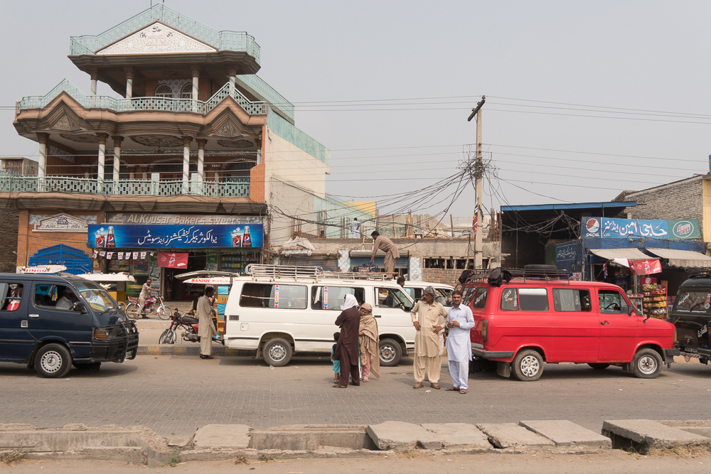
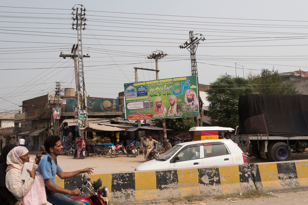
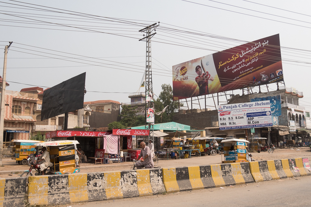
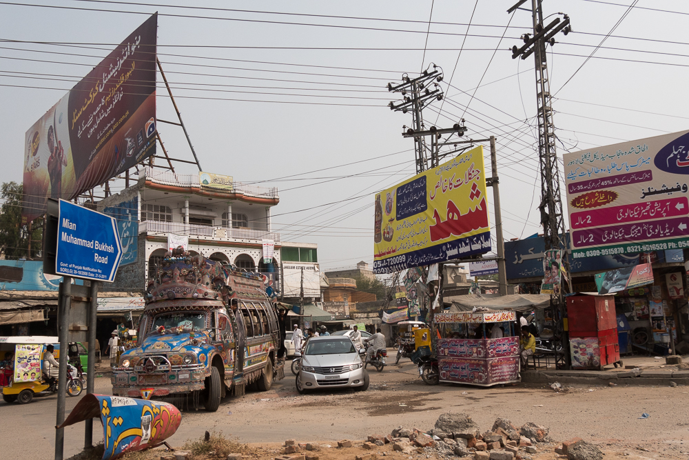
On the Road to Lahore
29/09/16 19:27 Filed in: Pakistan
The Naran-Mansehra Highway was already a long drive, but there were still about 200km to Islamabad to go for. A few KM on the road on the northern approach and suddenly I was stopped by a check point - the road would cross now some of the Kashmir areas and as such I wasn’t allowed to continue and had to return to take the road via Abbottabad.
Already in the dark this is getting awful. No road-lights, most of the Pakistani driver keep the brights on and so it was even more stressing. A few km before Abbotbad was a traffic block caused by a broken down bus and lorry. Once cleared it was a hit and run drive at nighttime fighting with all the lorries.. after about 14 hours staring from Gilgit I reached Islamabad, found the guesthouse .
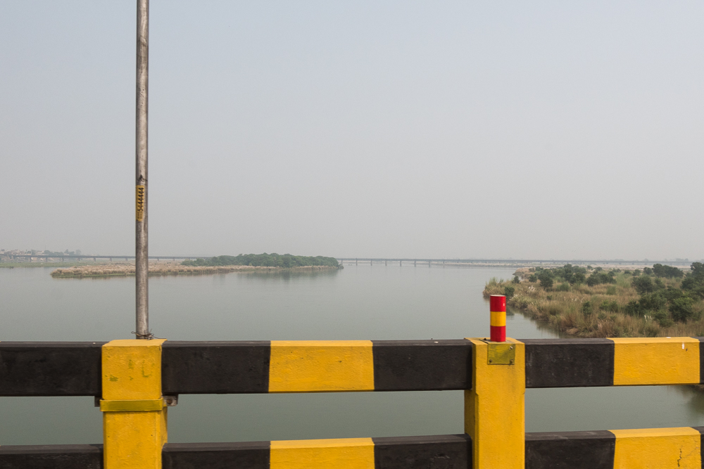
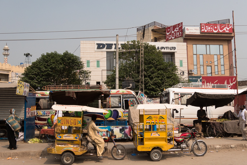
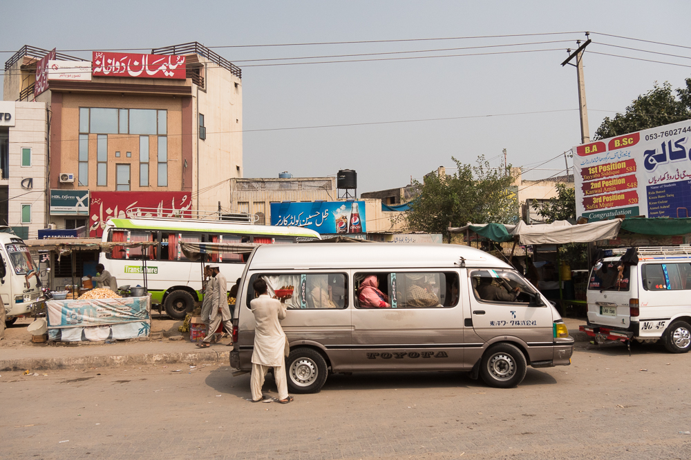
Next day the drive down to Lahore and the Crossing. Again awful traffic. For about 330km 7 hrs and as a result I was to late at the border - it closes allured at 3pm nowadays. So I had to stay in Lahore for a night.Crap!
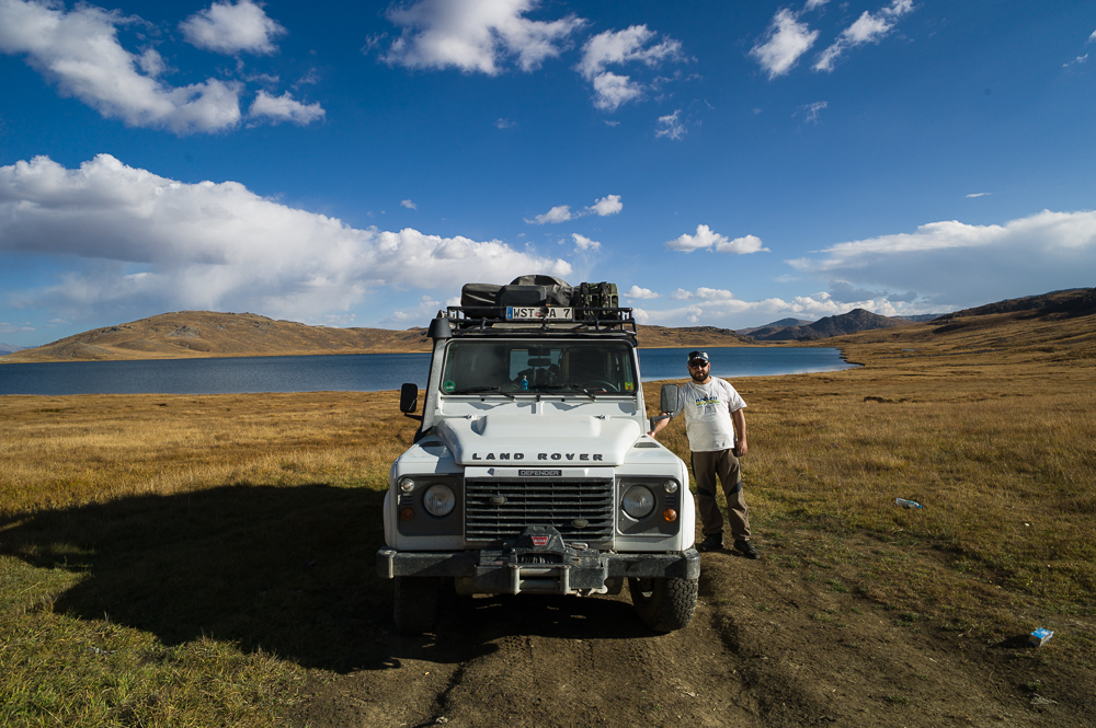
This was Pakistan. A country which wasn’t really on my map apart from the Karakoram highway. Meet lovely, friendly and welcoming people all the way and the scenery was amazing, especially the Hunza and the Astore Valley. A complete opposite from what your would normally hear and see in the news!!! Biggest surprise on the journey so far.
Already in the dark this is getting awful. No road-lights, most of the Pakistani driver keep the brights on and so it was even more stressing. A few km before Abbotbad was a traffic block caused by a broken down bus and lorry. Once cleared it was a hit and run drive at nighttime fighting with all the lorries.. after about 14 hours staring from Gilgit I reached Islamabad, found the guesthouse .
Next day the drive down to Lahore and the Crossing. Again awful traffic. For about 330km 7 hrs and as a result I was to late at the border - it closes allured at 3pm nowadays. So I had to stay in Lahore for a night.Crap!
This was Pakistan. A country which wasn’t really on my map apart from the Karakoram highway. Meet lovely, friendly and welcoming people all the way and the scenery was amazing, especially the Hunza and the Astore Valley. A complete opposite from what your would normally hear and see in the news!!! Biggest surprise on the journey so far.
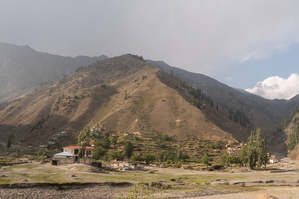
Naran Mansehra Highway
29/09/16 19:24 Filed in: Pakistan
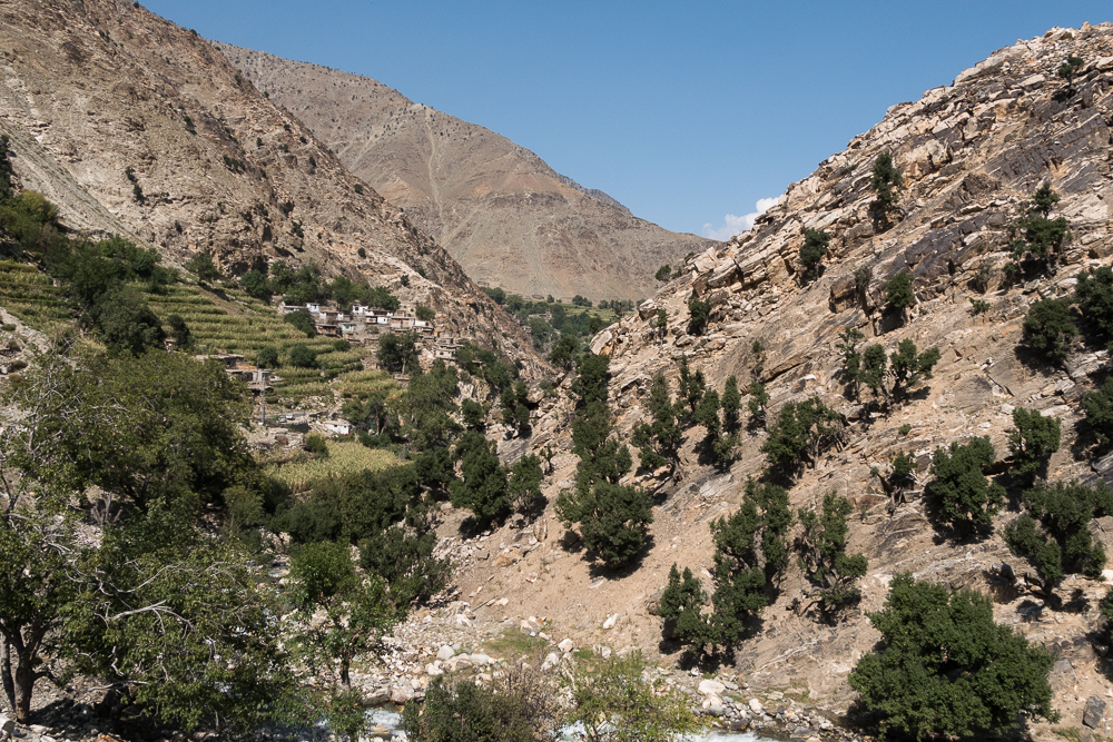
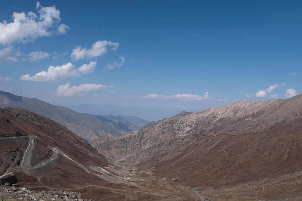
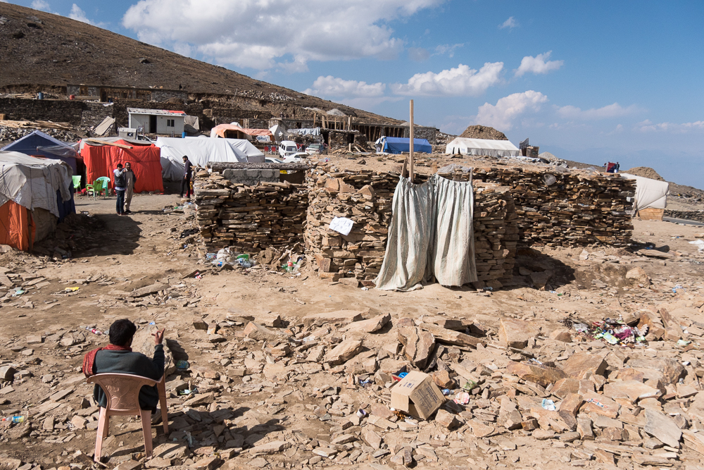
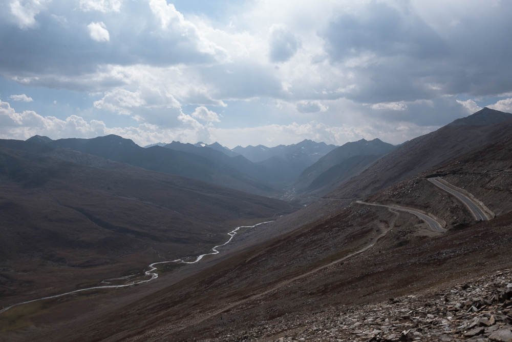
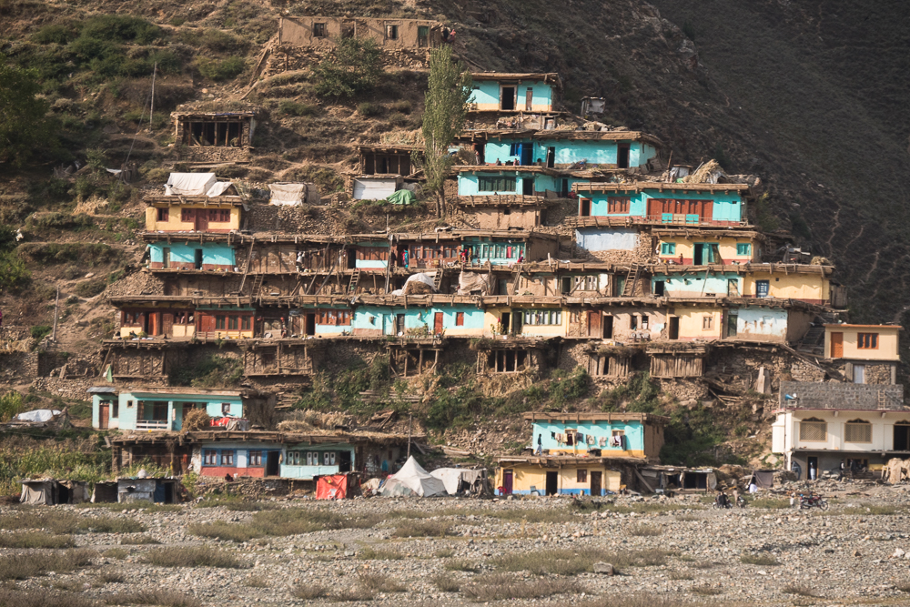
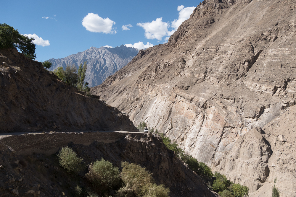
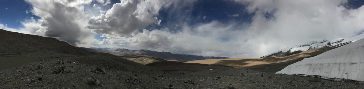
This is basically a shot cut from the Karakoram Highway to get down to Islamabad and the surrounding cities. The road in itself is comparable in very good condition. At Besham is the main mountain pass at about 4250m . The road leading up to the top passes by some really nice villages. Compared to the Karakoram the change is obvious in form of landscape, color scheme and constructions. Once you're going down from the pass the landscape changes even more and by the end of the highway its more like you are in south Asia. Humility is there, it is warm, its damp and the landscape is like on TV.
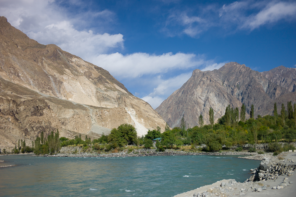
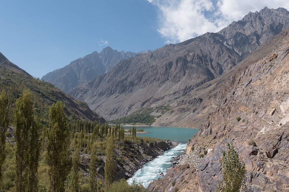
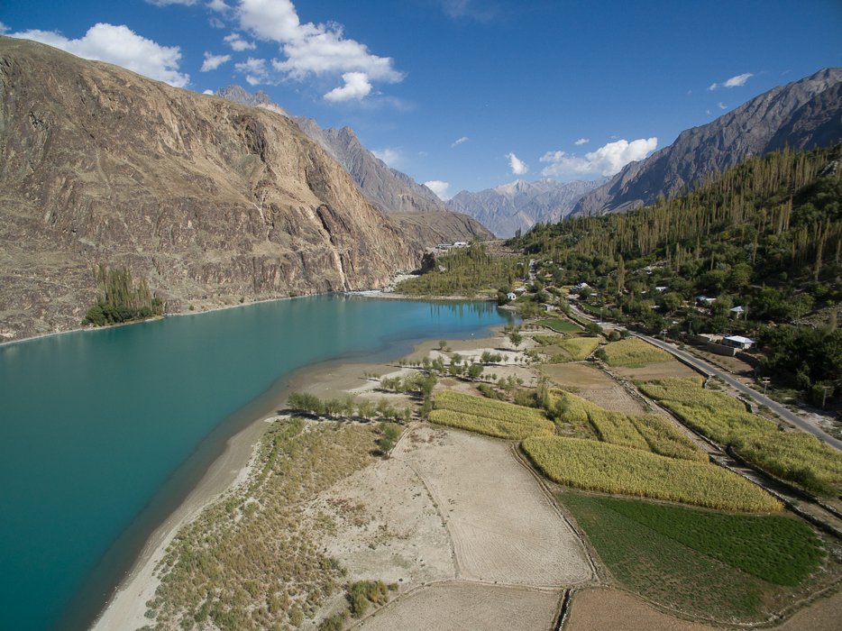
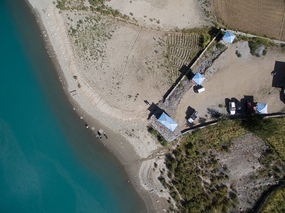
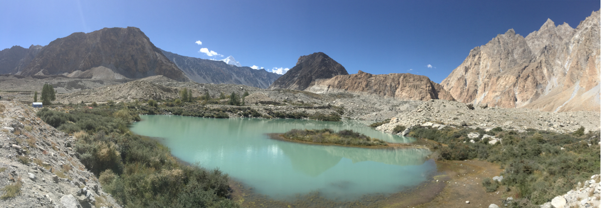
Khalti Lake
29/09/16 19:24 Filed in: Pakistan
This is a day trip from Gilgit. Following the main Shandur-Gilgit road you will reach the beautiful lake. A classic and a short trip not to miss from the Karakoram Highway.
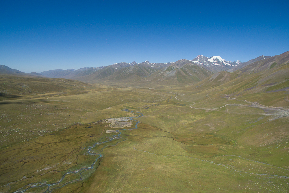
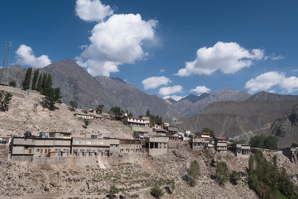
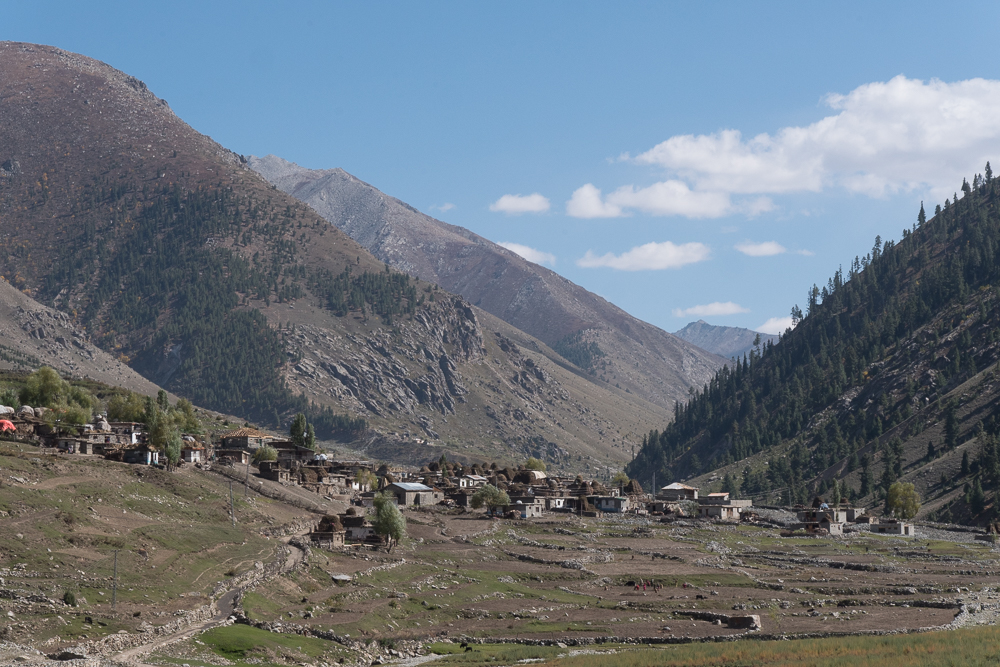
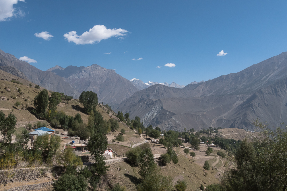
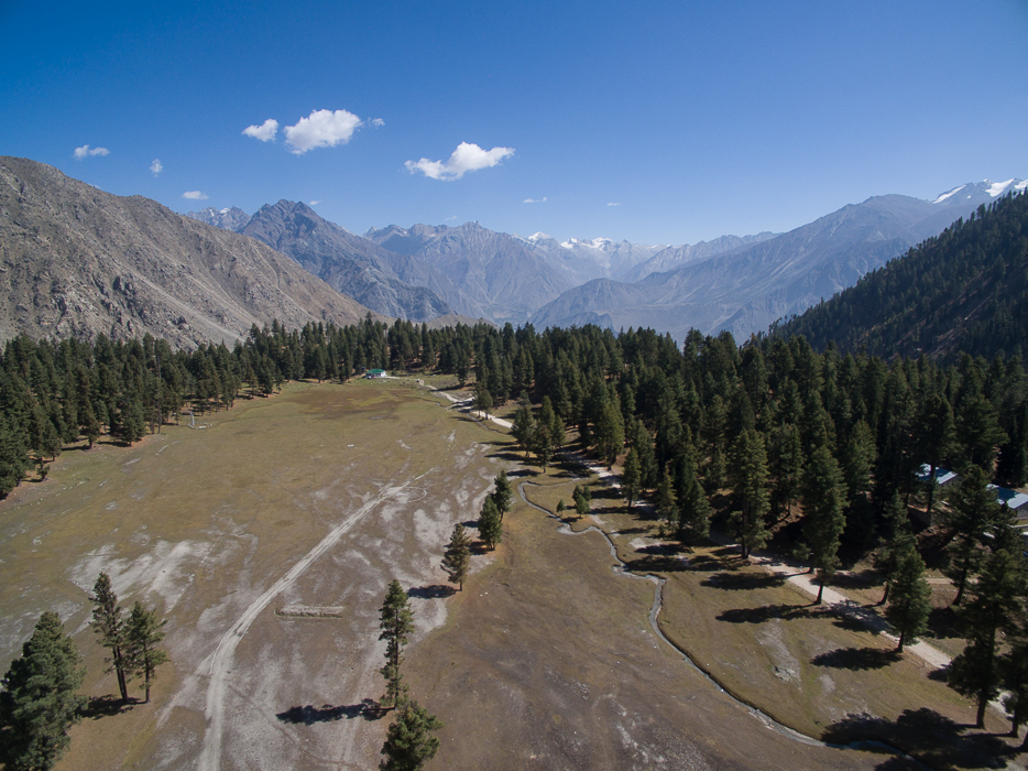
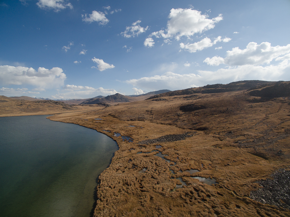
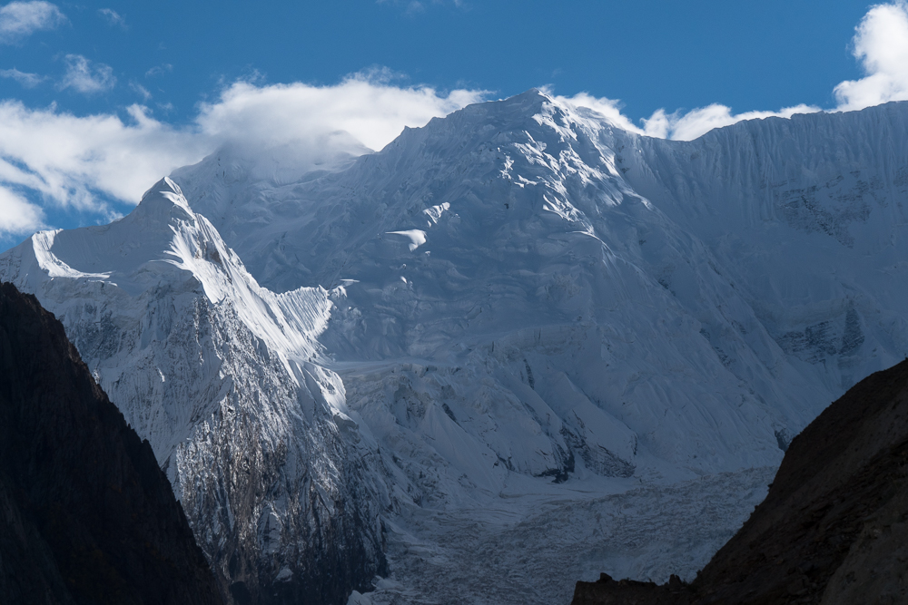
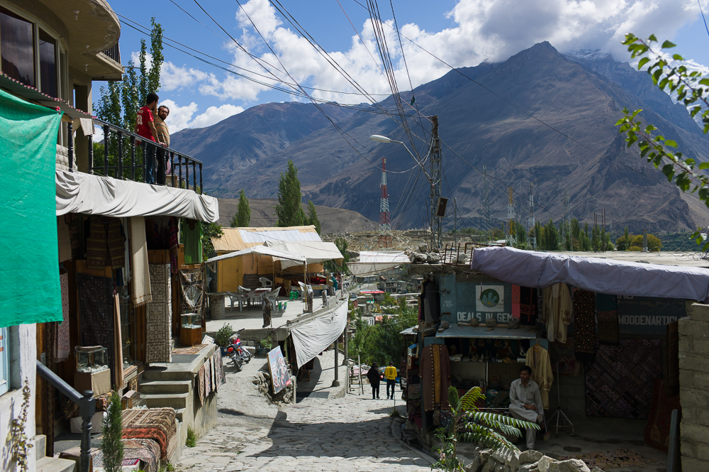
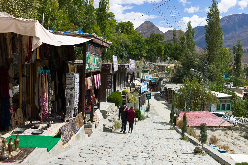
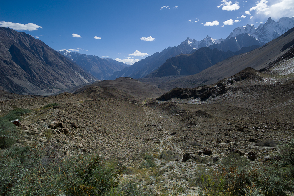
Astore Valley
29/09/16 19:24 Filed in: Pakistan
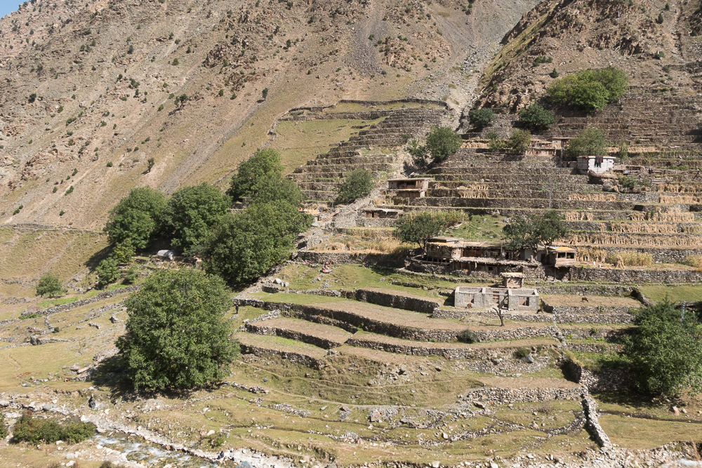
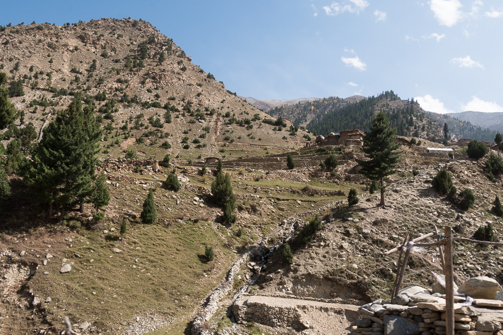
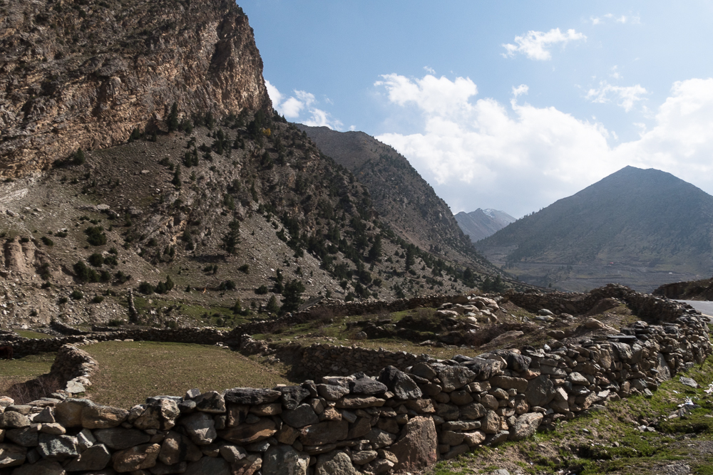
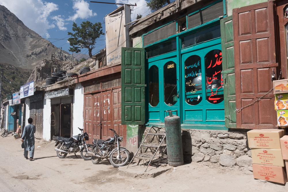
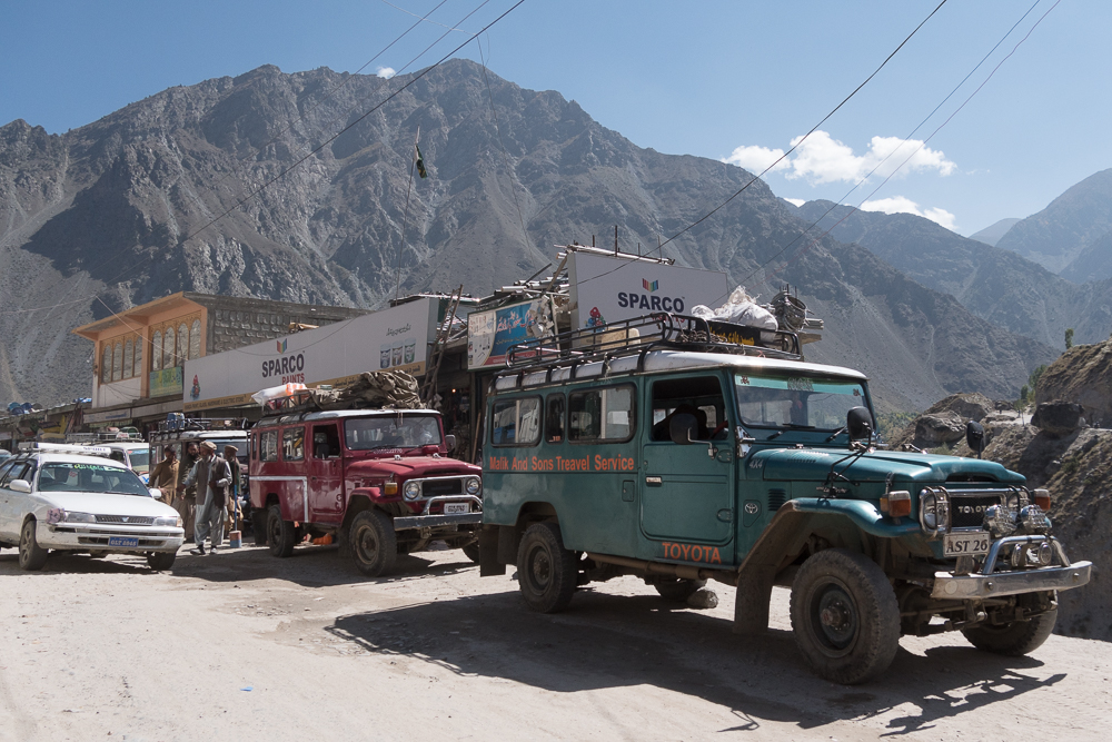
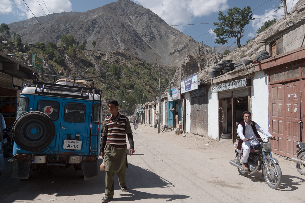
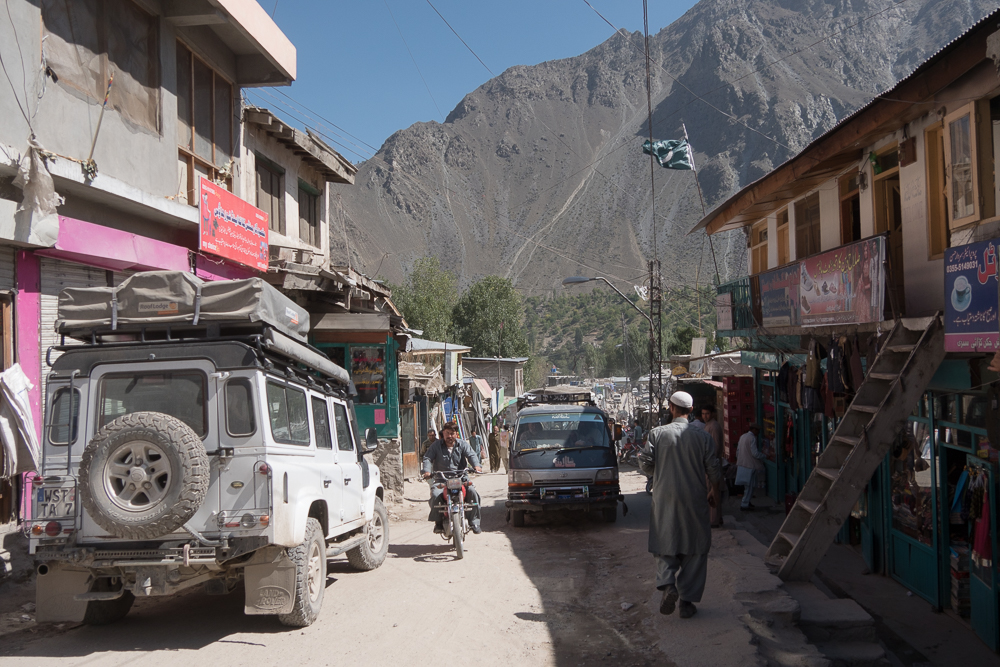
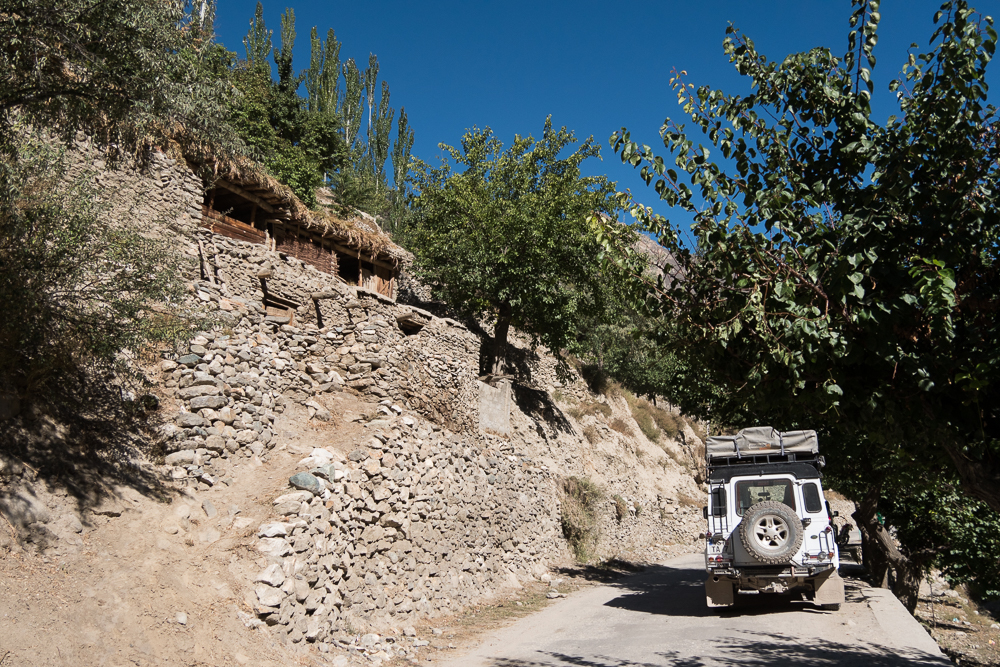
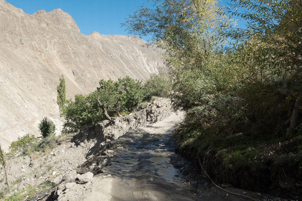
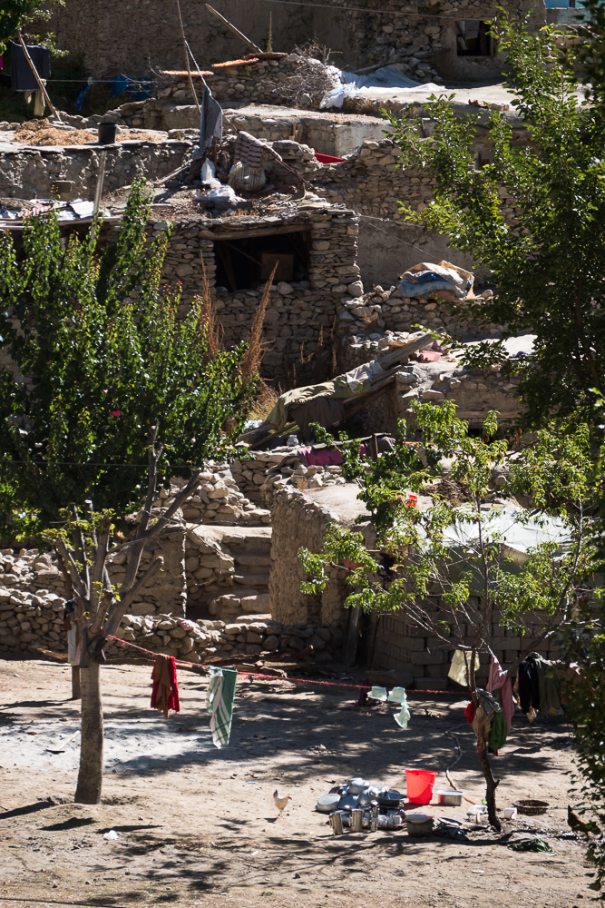
From Gilgit it’s about a one and a half hr drive to the start of the Astore Minimarg Road leading up to the valley. The valley has about 150 villages and is long - takes about 5-7hrs to reach the main lake at the end. The beginning is rocky, bumpy and you are climbing alongside the rock face. Half way up is the main Astore village and this is an amazing place. Once you’re there the atmosphere will soak you up. It looks like its a place form an Indianer Jones movie. Old buildings, trading and busy people everywhere, all those lovely old land cruisers and on and on. Best village so far in Pakistan!!!!
Just above the village, is the Rama valley with its Polo ground and the landscape from Astore up to the end lake is something different - with all its trees and color and hill his it looks very familiar, a bit like the southern Alps (south Switzerland, north Italy; Oberalp Pass, Tessin, Simplon, Livigno...)
Just above the village, is the Rama valley with its Polo ground and the landscape from Astore up to the end lake is something different - with all its trees and color and hill his it looks very familiar, a bit like the southern Alps (south Switzerland, north Italy; Oberalp Pass, Tessin, Simplon, Livigno...)
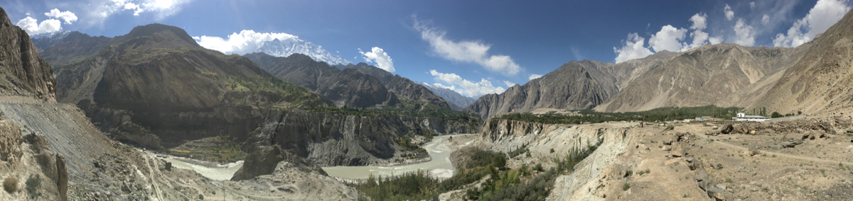
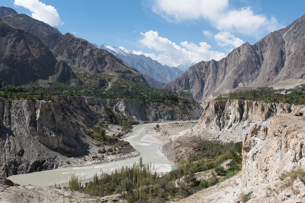
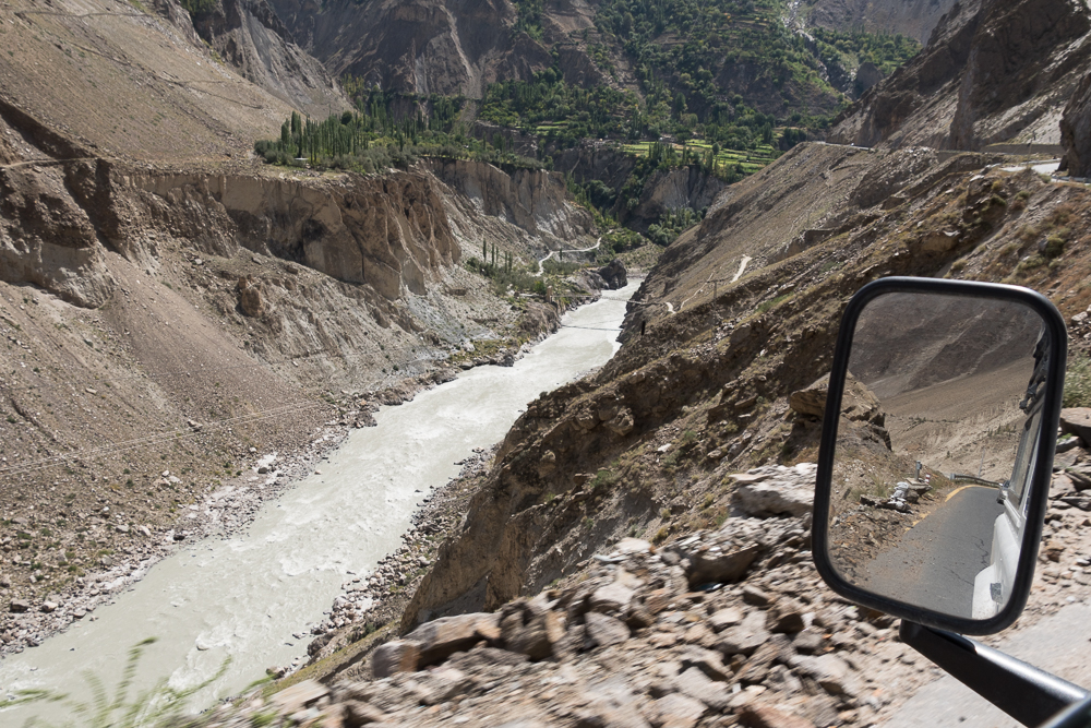
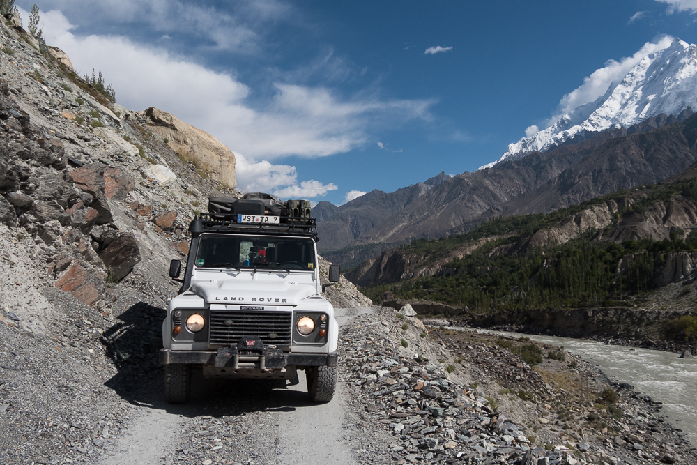
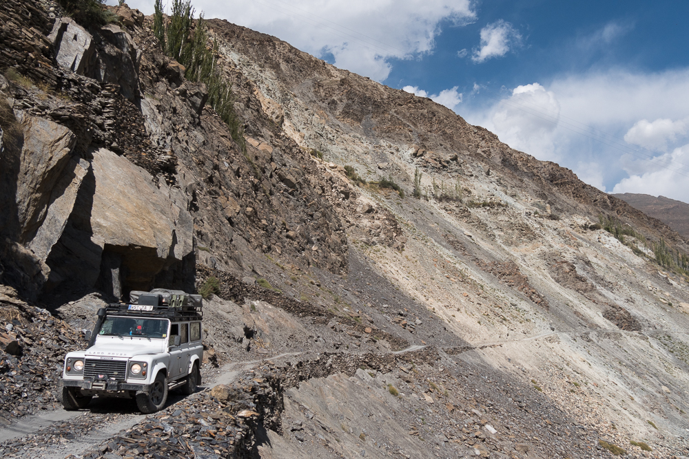
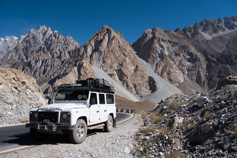
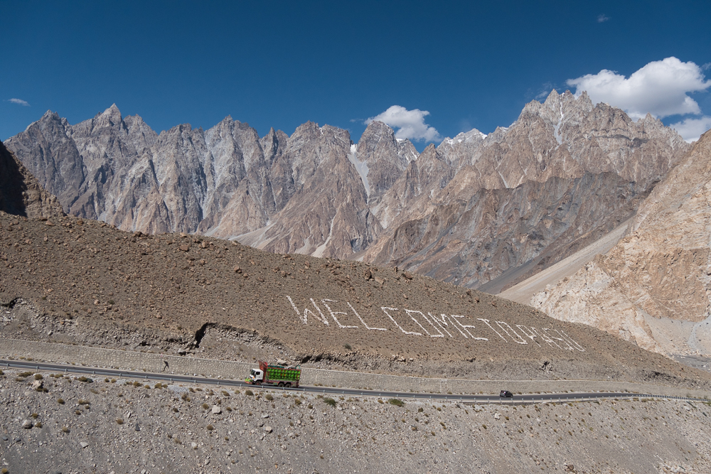
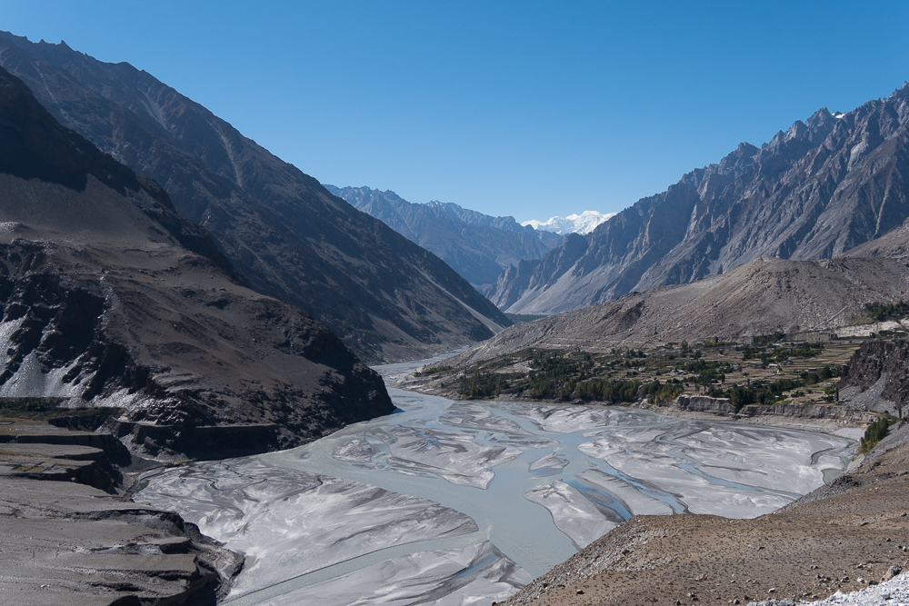
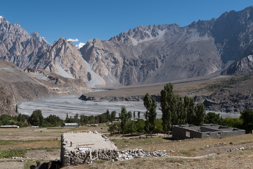
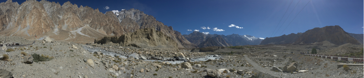
Karakorum Highway Pakistan II
29/09/16 19:23 Filed in: Pakistan
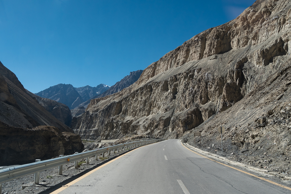
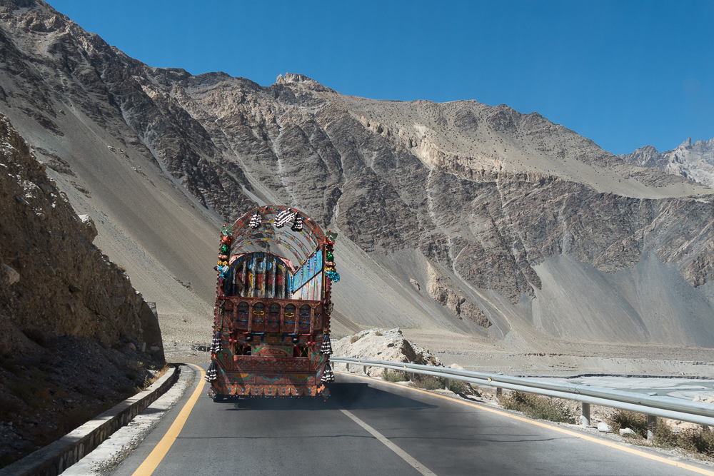
A few more on the road - the Karakoram Highway and its is still such a beauty. Loving it!
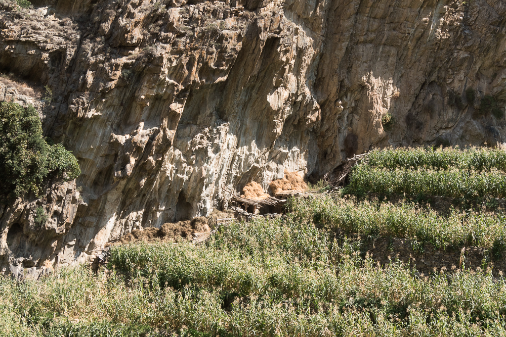
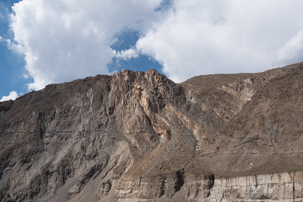
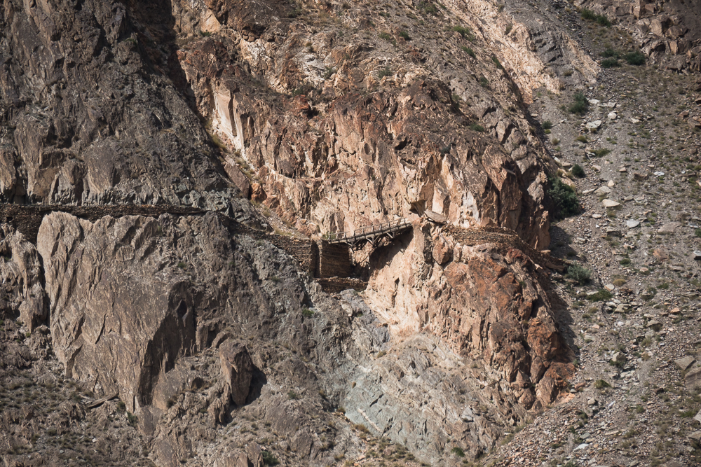
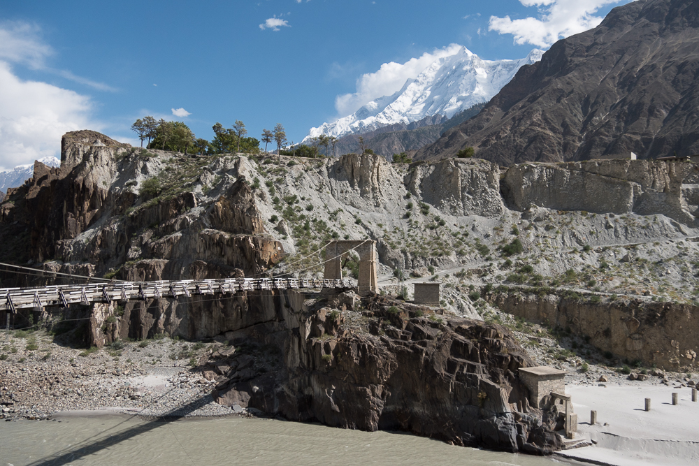
Old Silkroad
29/09/16 19:23 Filed in: Pakistan
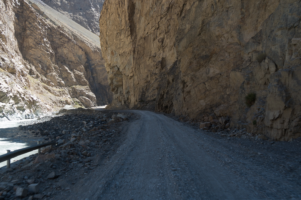
This was a surprise. Alongside the highway was suddenly a sign pointing up to the other side of the valley stating that there is an old section of the real silk road. Wasn’t aware that there is realy something of the silk road still available nowadays. According to the sign this was the old horse track which has been build up in the 1950/60 to a single lane jeep track.
So I took the opportunity and drove a few meter on this cold section with my Landy!
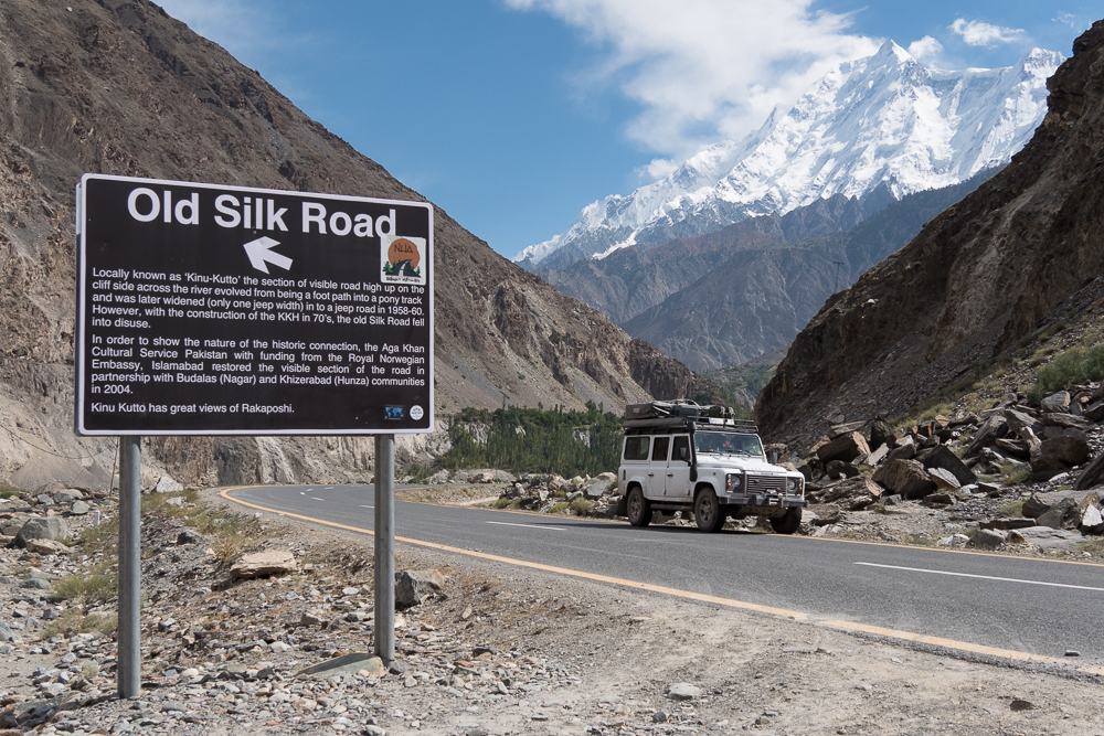
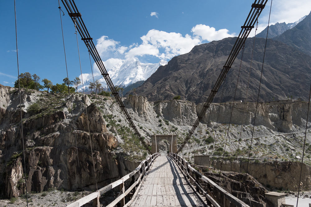
So I took the opportunity and drove a few meter on this cold section with my Landy!
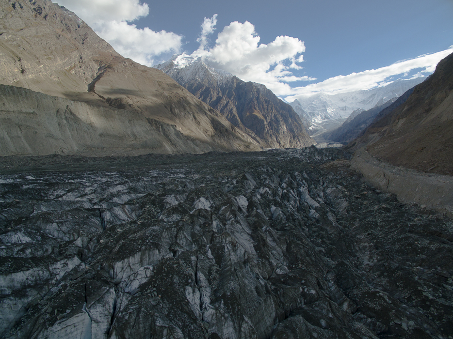
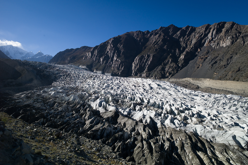
Hoper and Nagar Valley
29/09/16 19:23 Filed in: Pakistan
A day trip from Altit is the Hoper Glacier and the road leading up passing by the Nagar villages. The Glacier is nice, but the road is a beauty. Really feels like your are on an adventure and the villages you pass by are as they were from a the past, early 1900 or so. And best this is still within the Hunza area valley.
In the main Nagar village while I had a short walk I was invited by a local teacher for a tea and as he figured out that I have a civil engineering background I was asked some questions about foundations and frame work construction, because they are just starting to built a new school for the village. So, in about 2-3 hrs I explained some basics so they don’t do that much wrong while building.
In the main Nagar village while I had a short walk I was invited by a local teacher for a tea and as he figured out that I have a civil engineering background I was asked some questions about foundations and frame work construction, because they are just starting to built a new school for the village. So, in about 2-3 hrs I explained some basics so they don’t do that much wrong while building.
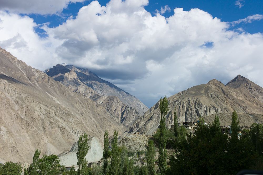
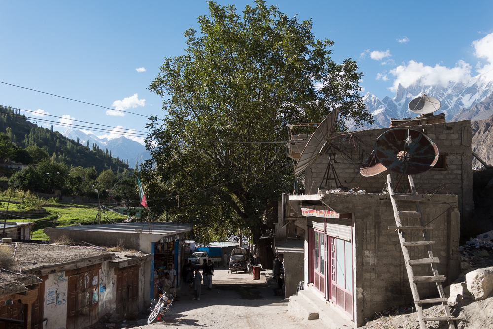
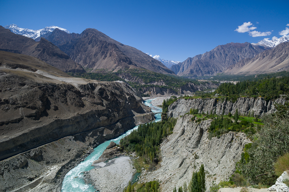
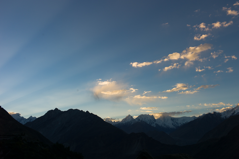
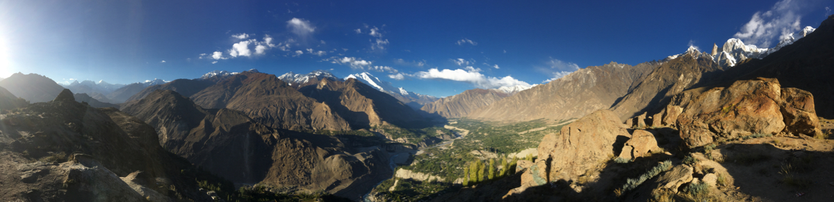
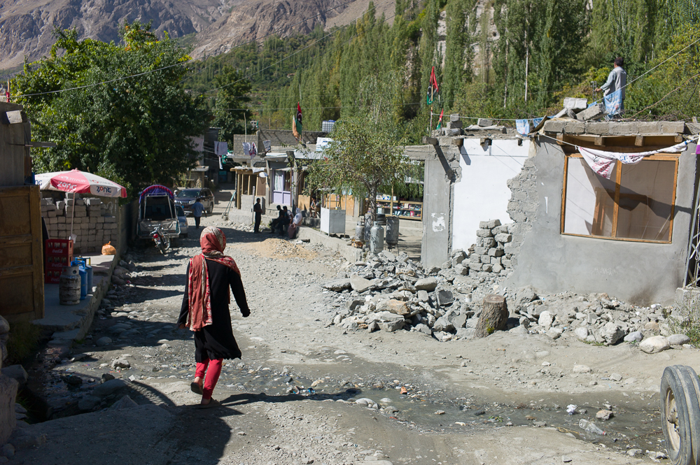
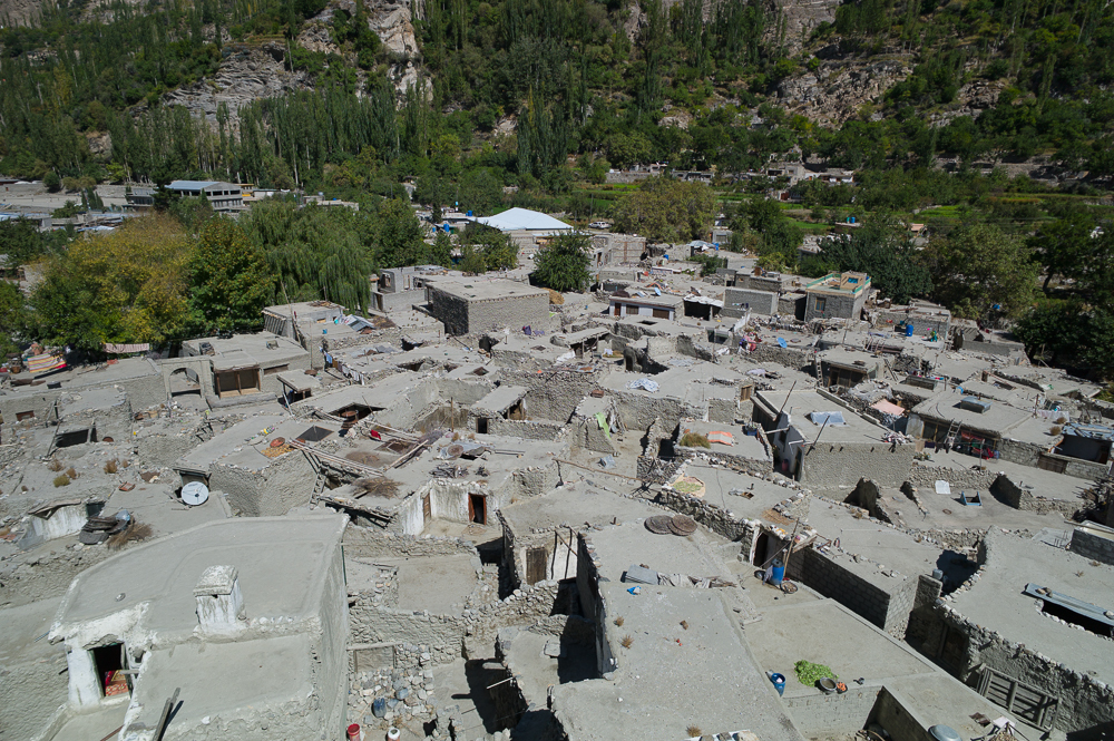
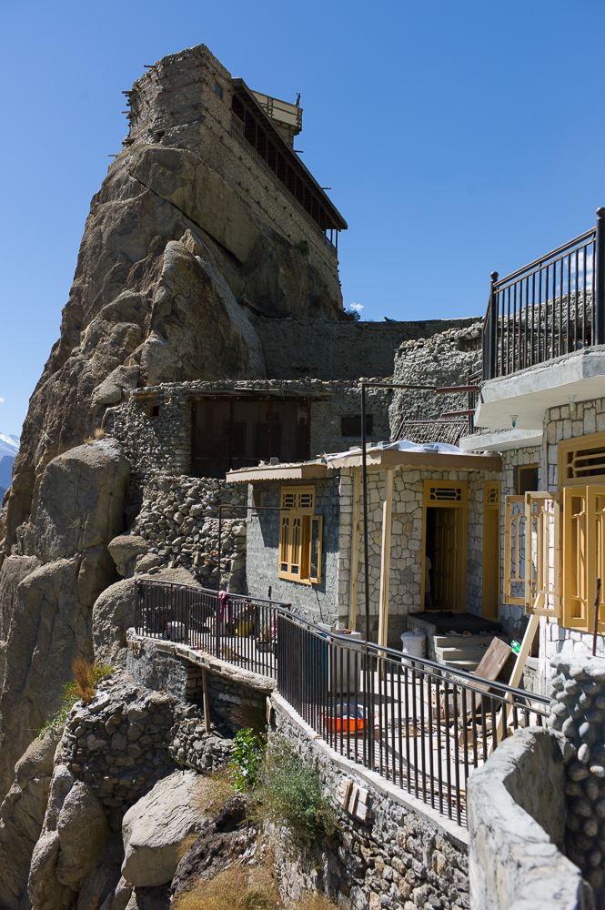
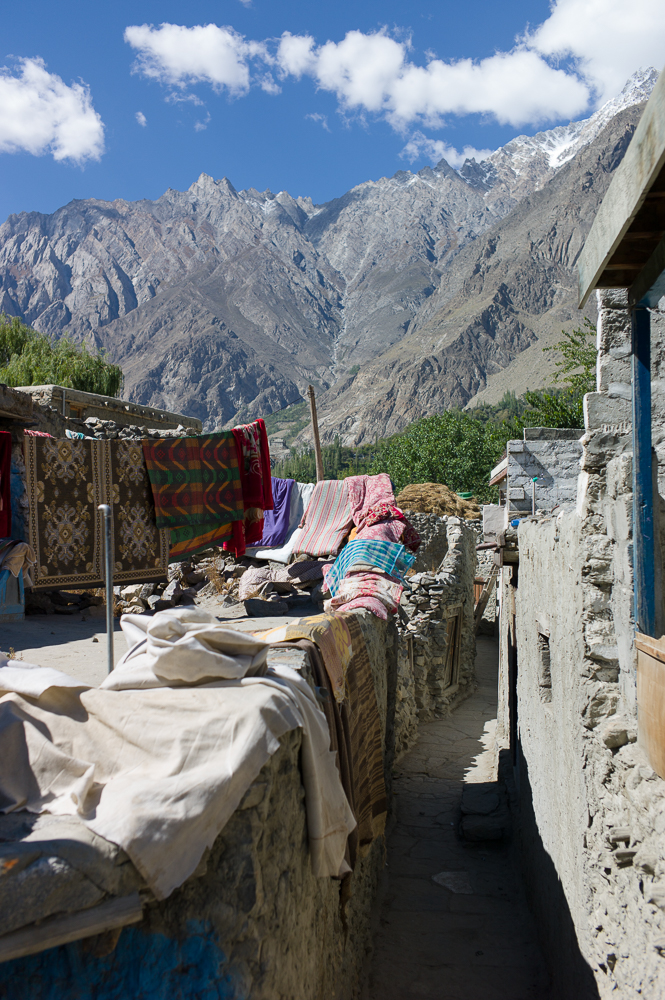
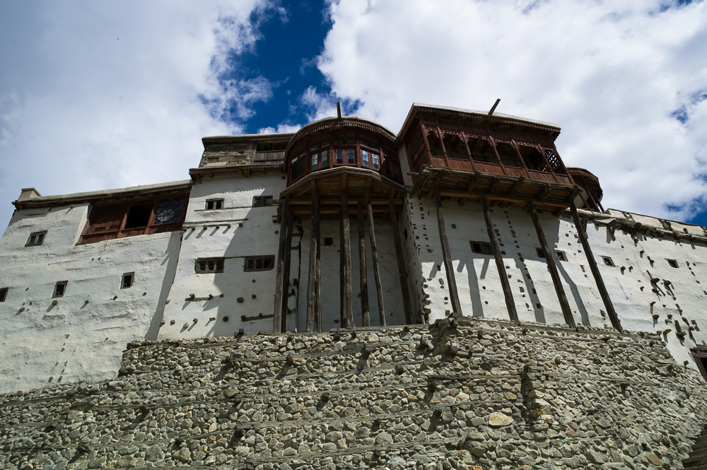
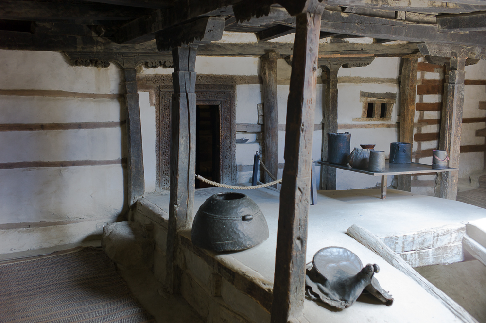
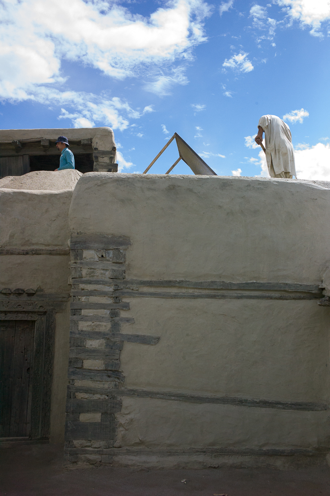
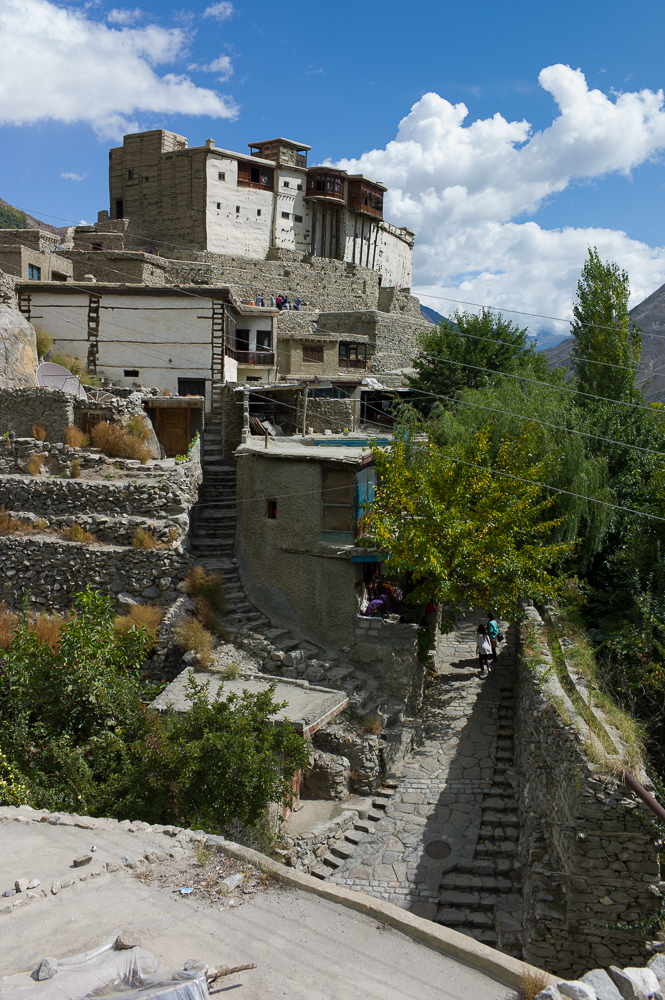
Hunza Valley
29/09/16 19:23 Filed in: Pakistan
Now I stayed for about 3 days in the huzza valley. Visit eh Alit and Baltic Fort and their surrounding villages. This is such an amazing valley. The views are great, the people great as well and the atmosphere is so relaxing. You could spend here two weeks easily just to relax, soak up the atmosphere and go for a few hicks and day trips. Really, this is worth a trip alone!
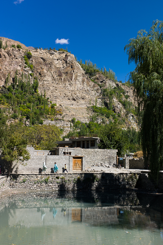
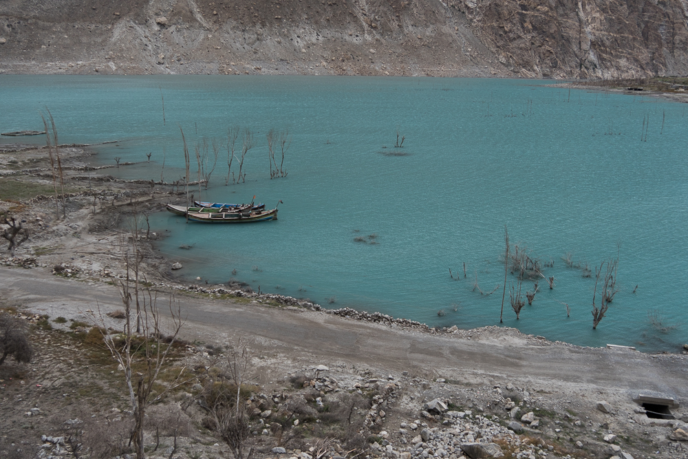
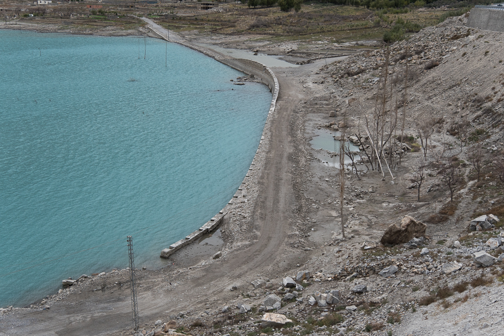
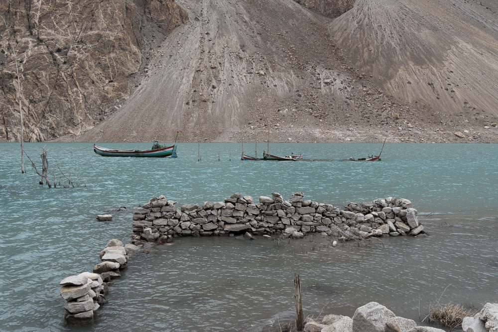
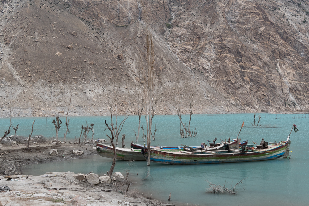
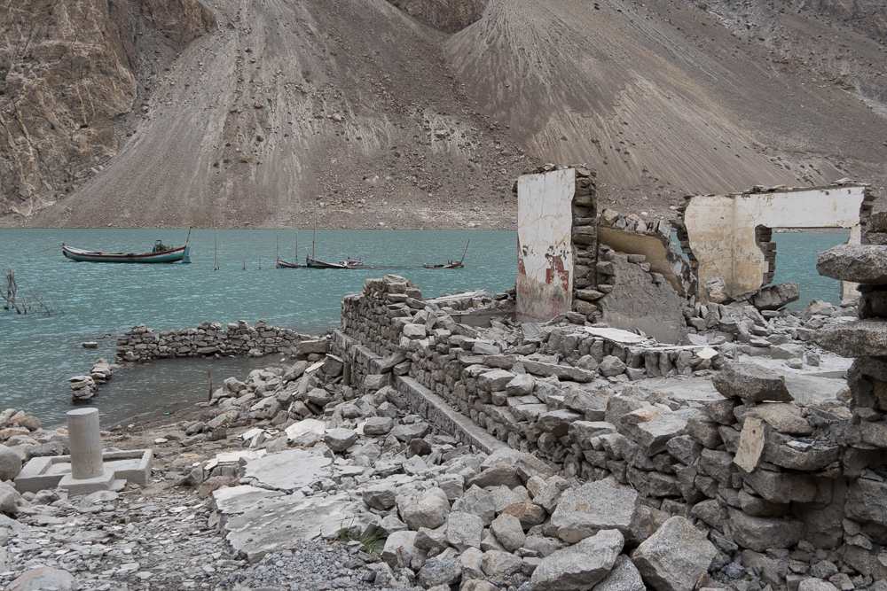
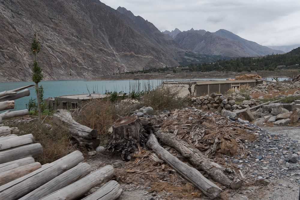
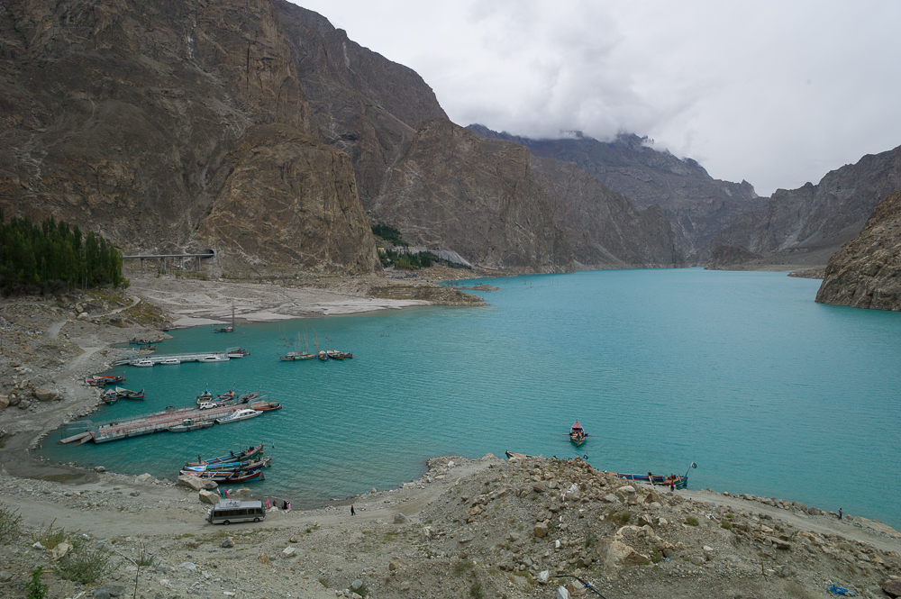
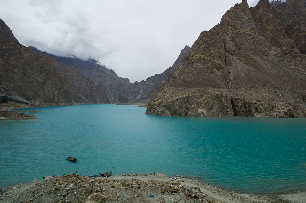
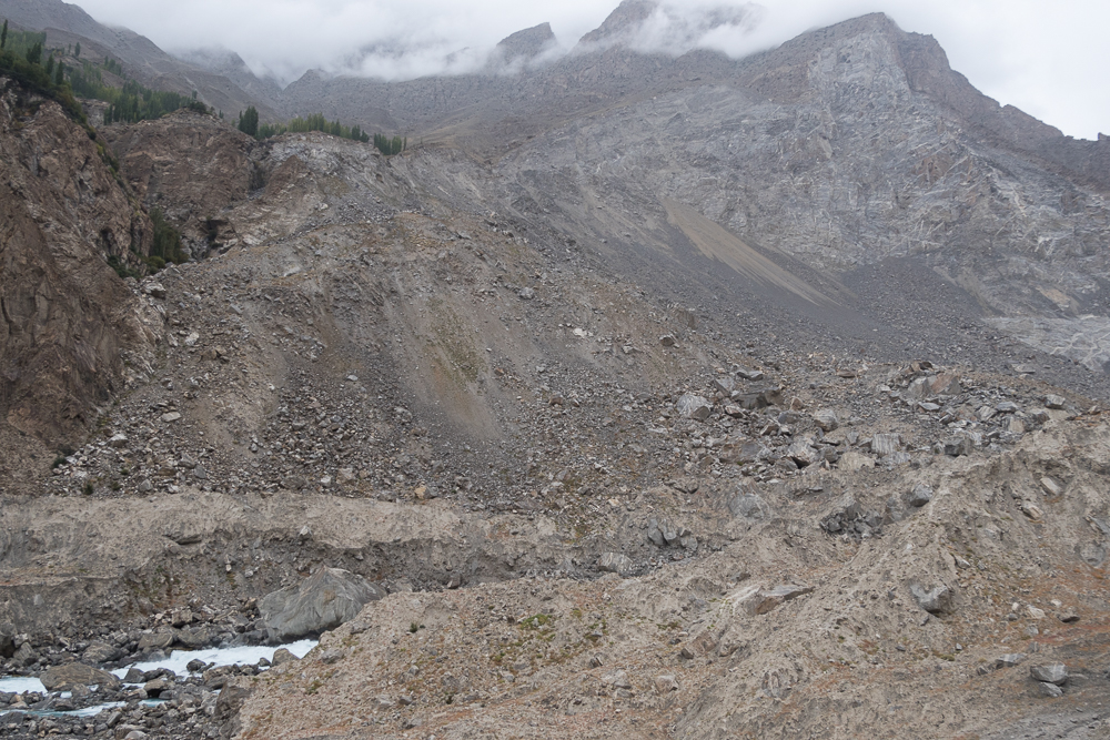
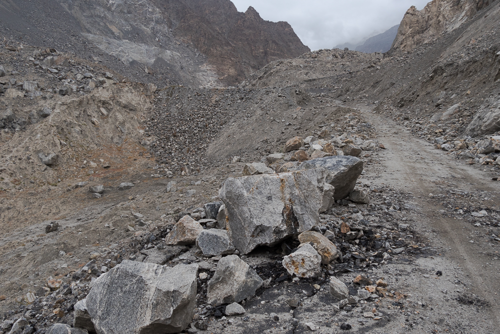
Nazimabad Pyeen Artificl Lake
21/09/16 15:09 Filed in: Pakistan
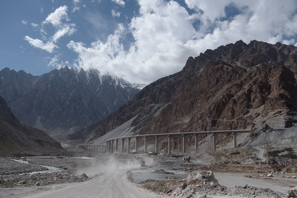
Just outside of the village Gulmit is the area of a large natural disaster. About 8 years ago there was a massive landslide ca 40km south of the village which caused to block the Hunza river. As a result parts of the village were flooded and many people lost their homes. For about 35km a section of the Karakoram Highway was destroyed. In order to keep the transport up and ruining and to connect the upper villages of the highway with the south the locals started a boat service between both ends of the highway. The boat service was scary as they used large fishing vessels powered by car engines. In order to transport a car the car had to be parked athwart on some large, squared timbers. There a many photos of such trips online or videos on youtube. Sadly, I could not do such a crossing as now the chinese had build a complete new road section with four large tunnels passing by the artificial lake. In course of the new construction the lake has been partly drained revealing affected areas.
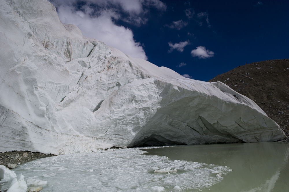
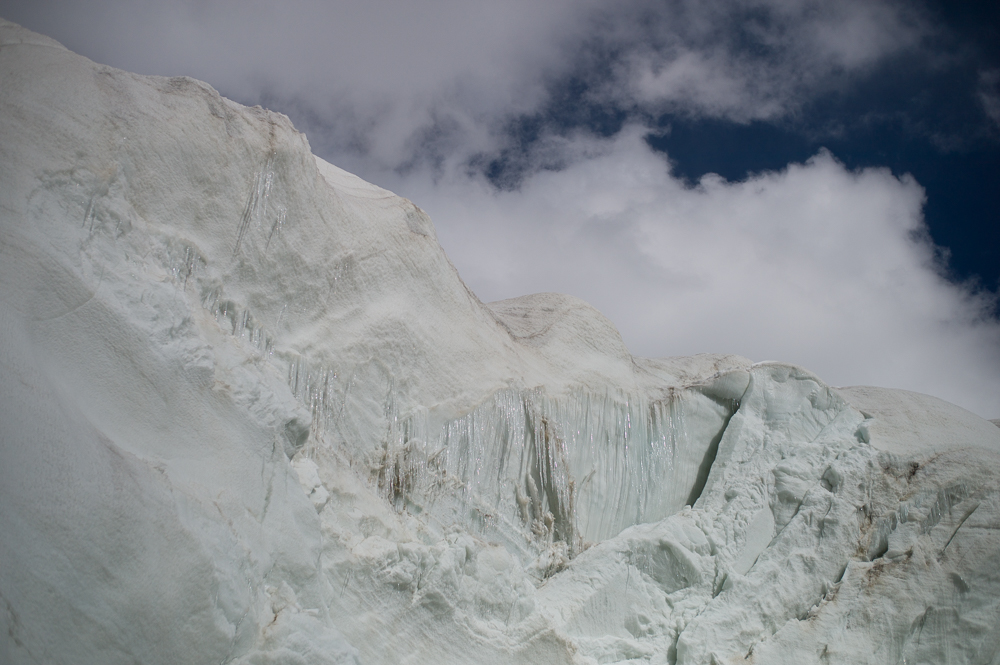
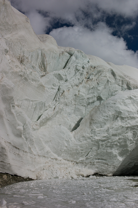
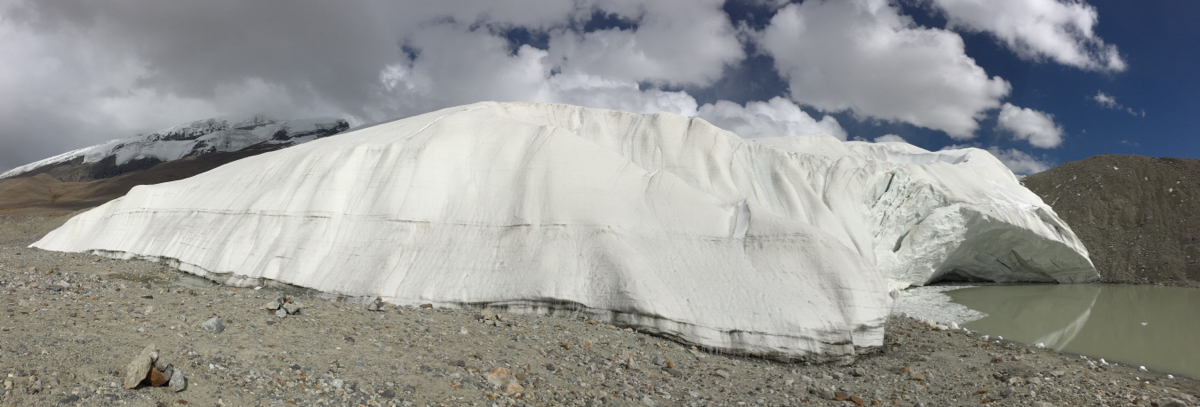
Galcier Breece
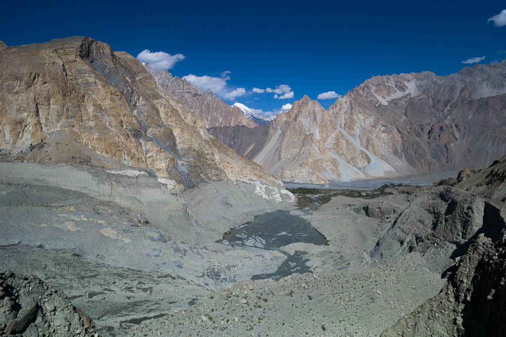
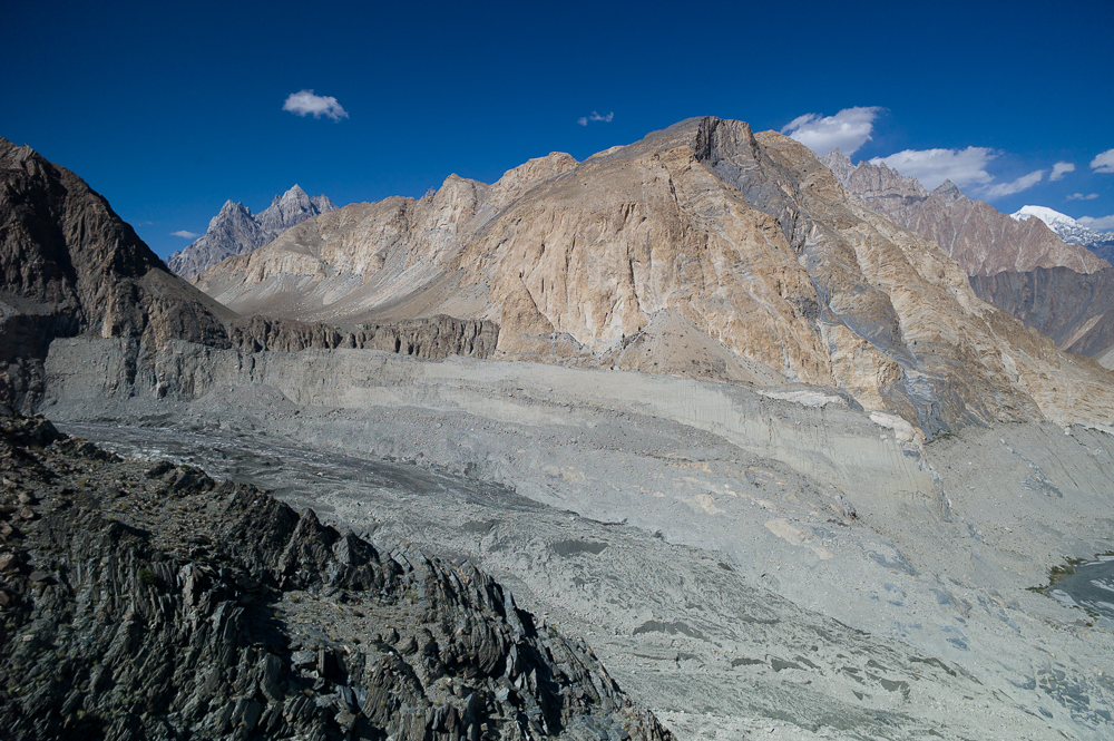
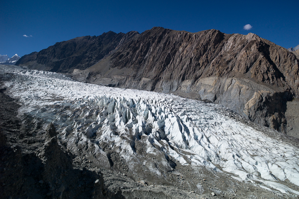
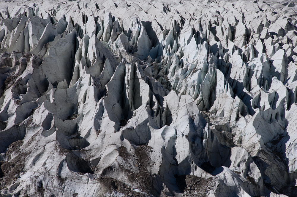
21/09/16 14:39 Filed in: Pakistan
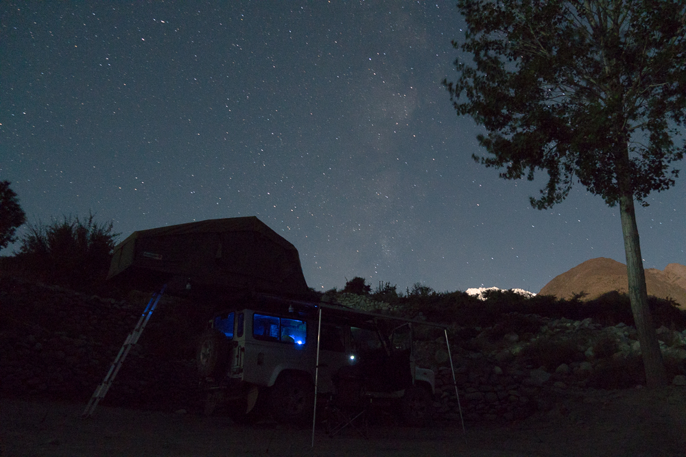
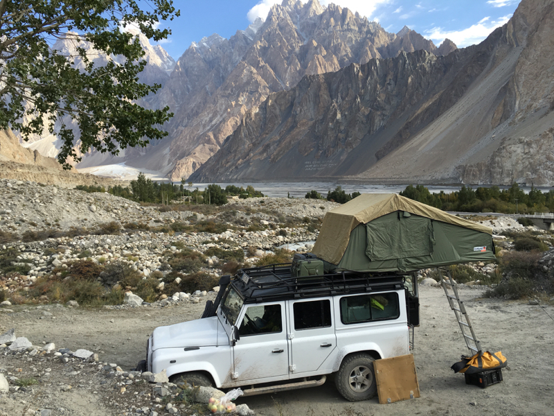
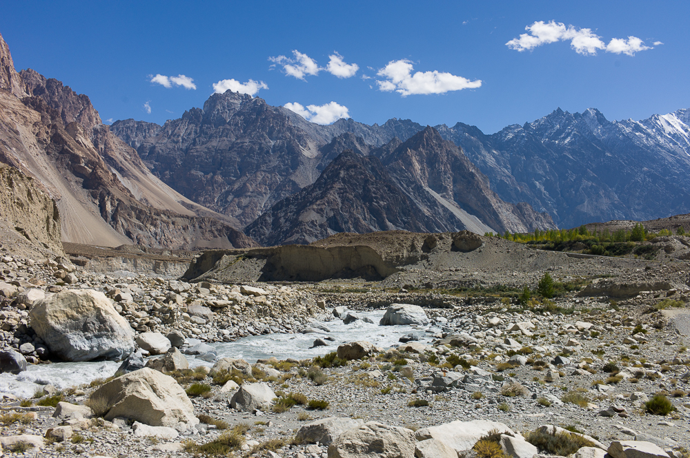
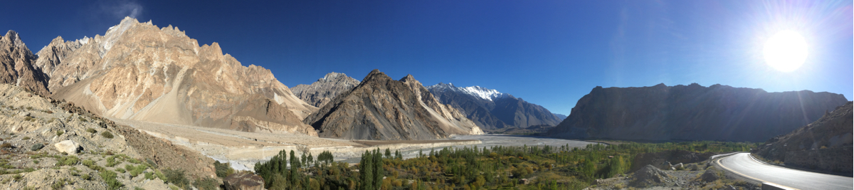
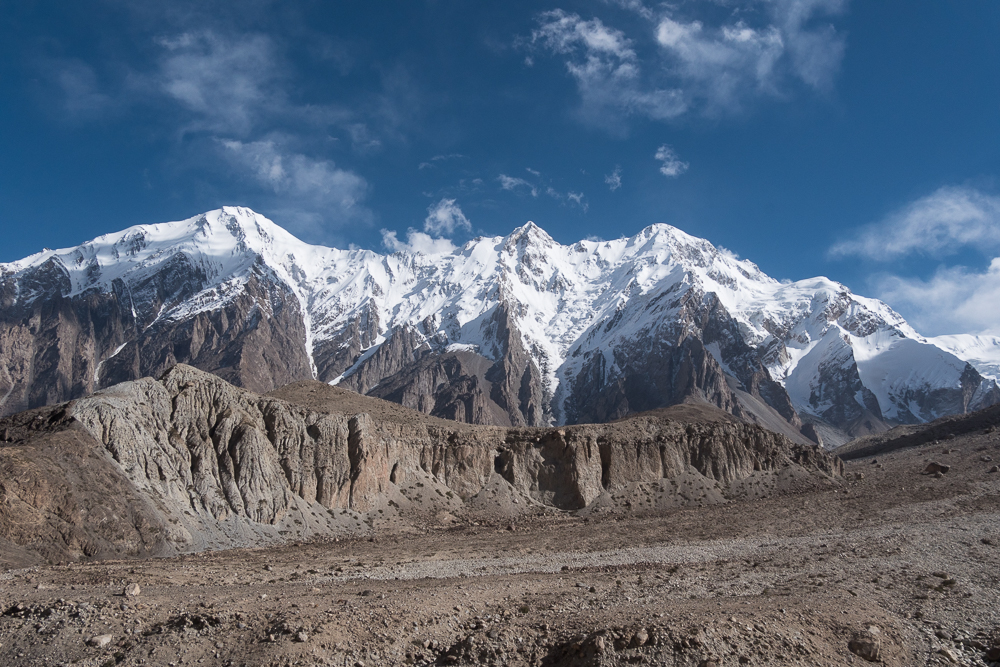
Gallier Breeze in Pasu. Just west of Pasu is the 5th largest glacier outside the arctic. First, you drive a small track up passing by the borith lake ( nothing special) to a small parking area. From there on you walk on a track build into the slope of the mountain with in some places drops of more then 70m. But in change the views are just stunning. The glacier is always slightly away and you never can go close to or on (apart of course from the very top). Nevertheless, a view which you just have to embrace. Nothing similar in the alps for sure. In the evening I camped just beside the glacier breeze restaurant in the Pasu village.
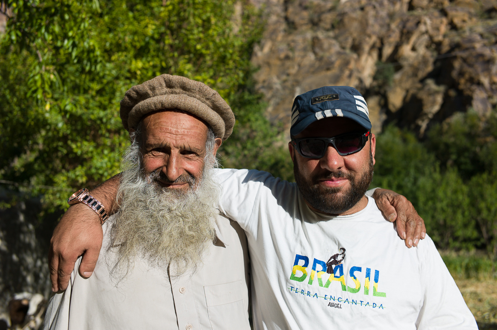
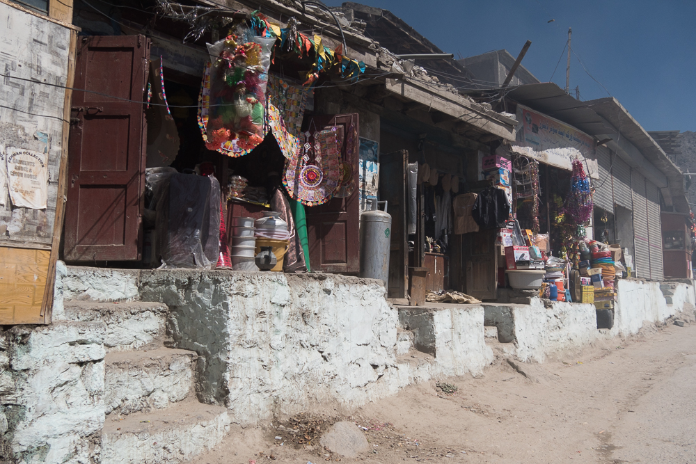
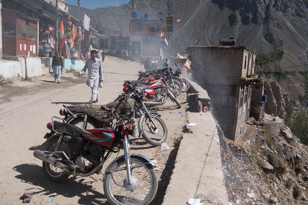
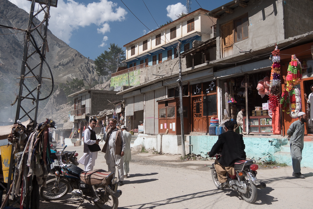
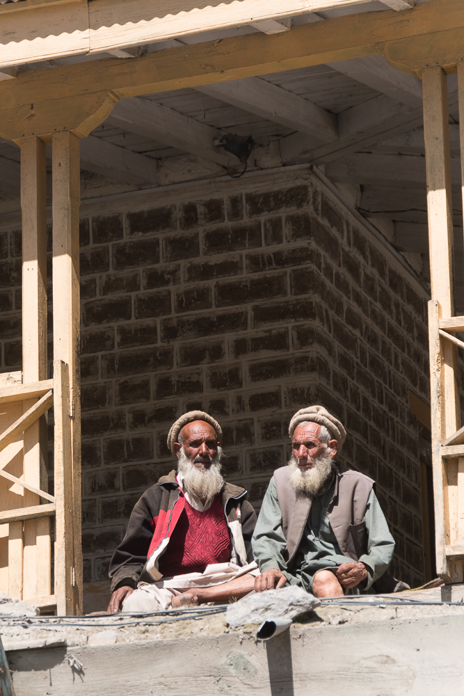
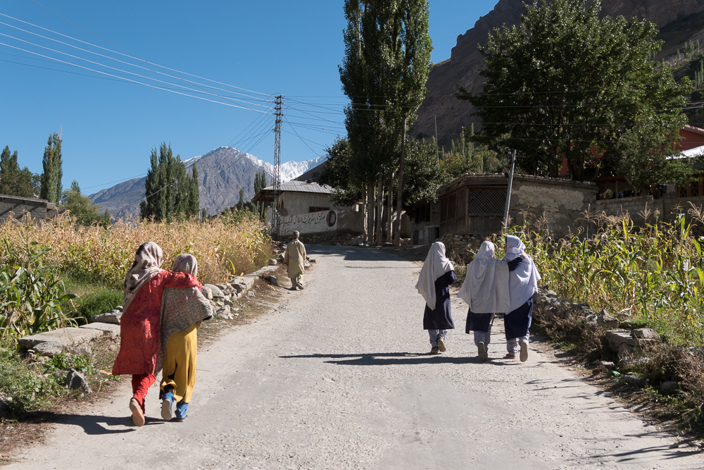
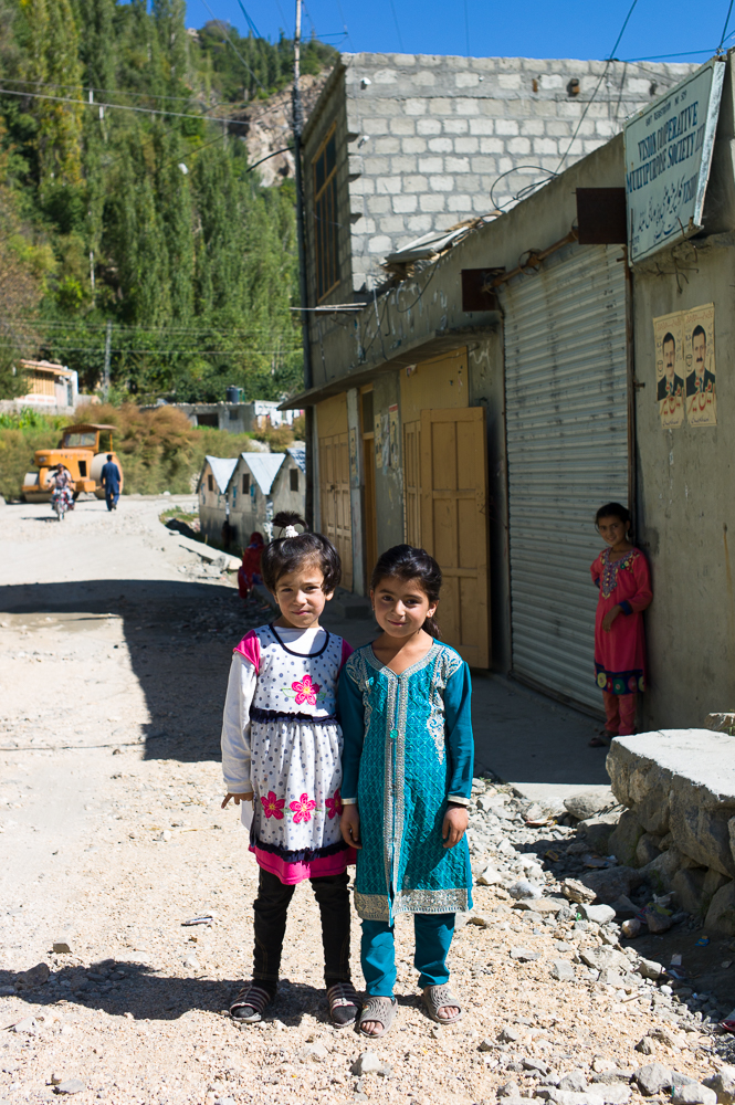
Pakistan People
21/09/16 14:12 Filed in: Pakistan
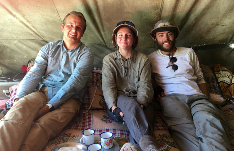
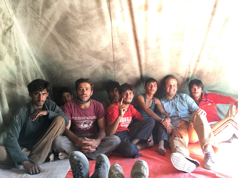
So, I’m in Pakistan and so far the landscape is awesome. But the people are even better. So friendly, so welcoming. And everywhere I go I have to come in for a tea. Just a few small stories:
Near Janabad on the roadside beside the glacier breeze I meet the Australian couple again (somehow we are so far a the same speed, even if they are on cycles). We were invited for a tea by some local road workers. Everyone happy, smiling faces everywhere and of course some questions about where are your from, what are your doing first time in Pakistan.
Just before however I a weird event - I was standing on the roadside talking to local guides as suddenly a convoy arrived. About three to four Land Cruiser guided by „special forces“ in front and the back. Next, everyone was on the street - forces fully armed with machine guns protecting the road in front and back. In between me and now some tourist form Europe and USA. And then the guide had to introduce me to everyone as he was so suppriced that I was alone traveling by car all the way from Germany. Everyone asking questions and wising all the best for the rest of the journey. 10 minutes later this was over....
Next I’ve been on the „Glacier Breeze“ - the track up to the glacier. The last incline was a bit step so it took me a bit to get on. But on top I was greeted by workers building a water connection for the village sourced by the glacier. Before I could say anything I was invited straight away. They not only offered me tea, no, they gave me a full Pakistan meal (spiced rice with some chicken pieces and vegetables) and then the questions started: Where are your from, what is your profession, are your alone, about my travels. But as they know my civil engineering background they went on talking about their work. And this all at about 3000m with a glories views across the glacier and mountains.
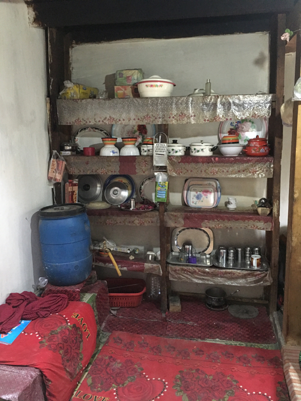
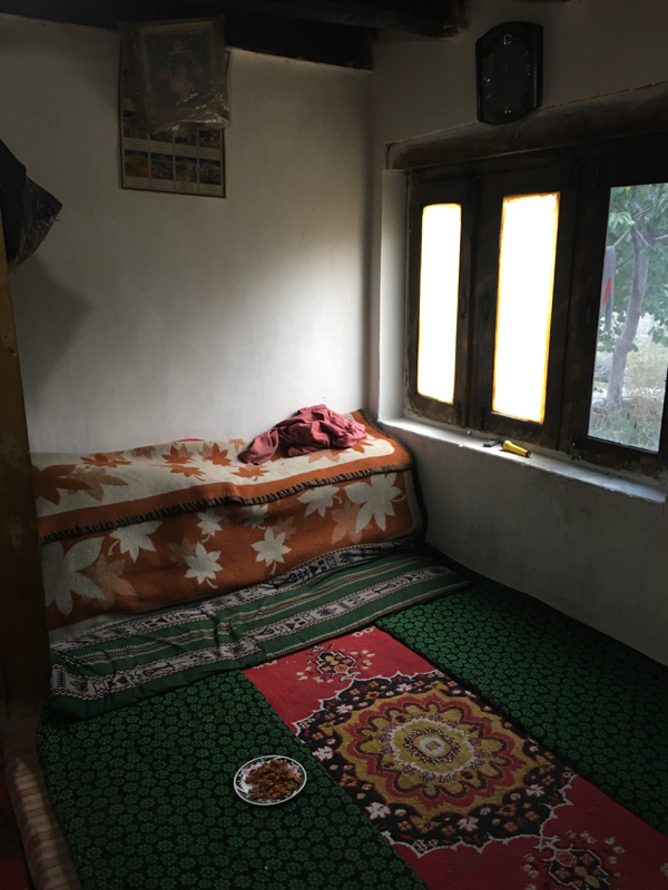
Or when I was in Gulmit on my way up to the fort. First on the way up on of the lokal childs jumped on my rear ladder for lift up to the upper village. When I went on the track to the fort I was greeted by many locals, was offered some fresh apples etc. And on my way back from the fort I was invited for a tea by one of the local workers and his mother. He explained a bit about the community and then of course asked about my travels etc. Of course he had to mention that the Germans have a very good reputation in Pakistan (in general on journey as a whole, but thats a different story). When I was alone with the mother she couldn’t speak any english but tried to communicate, always with a smile on the face. She was complaining about pains she has, especially in joints, limbs and the back - so I left here one of my Kyta ointments.
On my we back I passed a sawmill. But this was a really old-style one. Sawing machines from the 1950s or earlier. So I had to take some photos and as the old owner heard that I’m also a trained carpenter he was smiling all over the face and hugged me. He was the last carpenter of the village and next I was introduced to his family and again I was offered tea and some cake. And of cource everyone wanted to know where I’m from, about my travels and on and on.
So, if this continues I have to say the Pakistan people as the friendliest and welcoming by a country mile!!
Near Janabad on the roadside beside the glacier breeze I meet the Australian couple again (somehow we are so far a the same speed, even if they are on cycles). We were invited for a tea by some local road workers. Everyone happy, smiling faces everywhere and of course some questions about where are your from, what are your doing first time in Pakistan.
Just before however I a weird event - I was standing on the roadside talking to local guides as suddenly a convoy arrived. About three to four Land Cruiser guided by „special forces“ in front and the back. Next, everyone was on the street - forces fully armed with machine guns protecting the road in front and back. In between me and now some tourist form Europe and USA. And then the guide had to introduce me to everyone as he was so suppriced that I was alone traveling by car all the way from Germany. Everyone asking questions and wising all the best for the rest of the journey. 10 minutes later this was over....
Next I’ve been on the „Glacier Breeze“ - the track up to the glacier. The last incline was a bit step so it took me a bit to get on. But on top I was greeted by workers building a water connection for the village sourced by the glacier. Before I could say anything I was invited straight away. They not only offered me tea, no, they gave me a full Pakistan meal (spiced rice with some chicken pieces and vegetables) and then the questions started: Where are your from, what is your profession, are your alone, about my travels. But as they know my civil engineering background they went on talking about their work. And this all at about 3000m with a glories views across the glacier and mountains.
Or when I was in Gulmit on my way up to the fort. First on the way up on of the lokal childs jumped on my rear ladder for lift up to the upper village. When I went on the track to the fort I was greeted by many locals, was offered some fresh apples etc. And on my way back from the fort I was invited for a tea by one of the local workers and his mother. He explained a bit about the community and then of course asked about my travels etc. Of course he had to mention that the Germans have a very good reputation in Pakistan (in general on journey as a whole, but thats a different story). When I was alone with the mother she couldn’t speak any english but tried to communicate, always with a smile on the face. She was complaining about pains she has, especially in joints, limbs and the back - so I left here one of my Kyta ointments.
On my we back I passed a sawmill. But this was a really old-style one. Sawing machines from the 1950s or earlier. So I had to take some photos and as the old owner heard that I’m also a trained carpenter he was smiling all over the face and hugged me. He was the last carpenter of the village and next I was introduced to his family and again I was offered tea and some cake. And of cource everyone wanted to know where I’m from, about my travels and on and on.
So, if this continues I have to say the Pakistan people as the friendliest and welcoming by a country mile!!
Karakorum Highway Pakistan I
19/09/16 18:53 Filed in: Pakistan
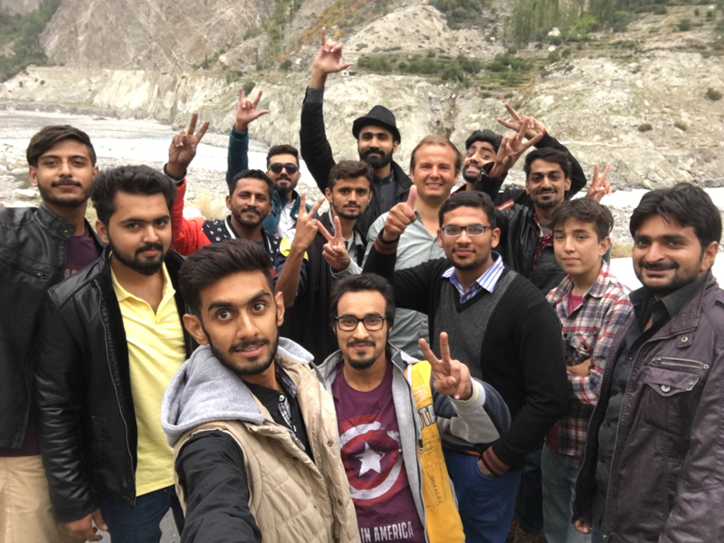
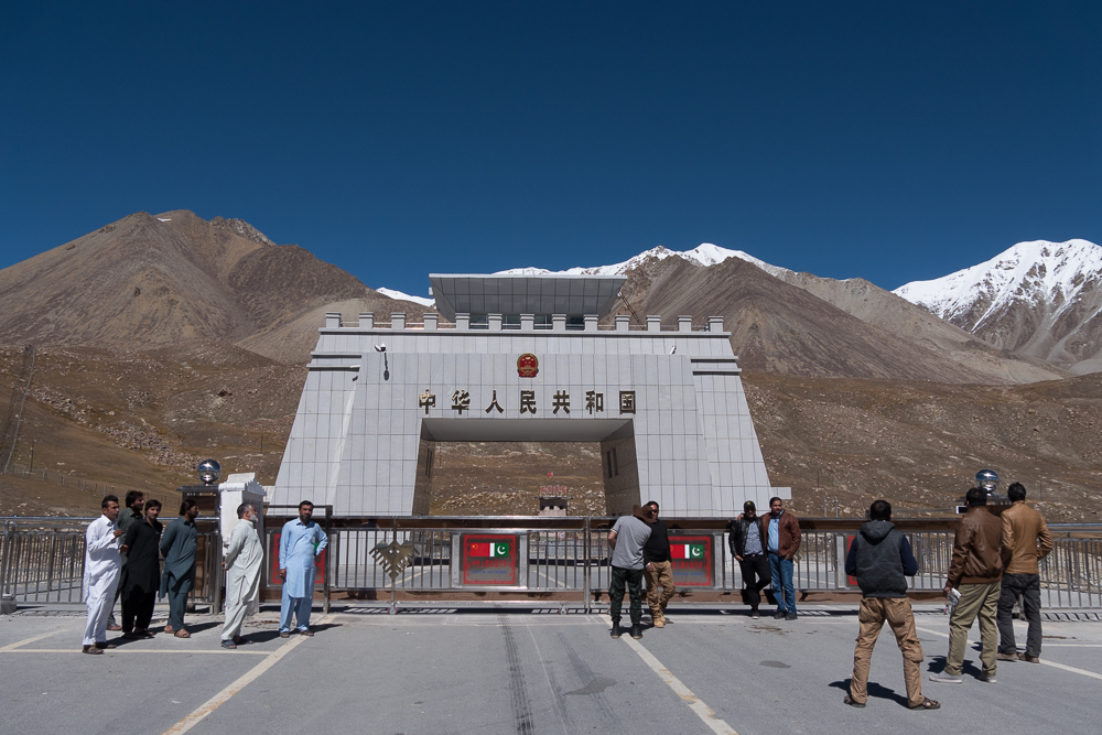
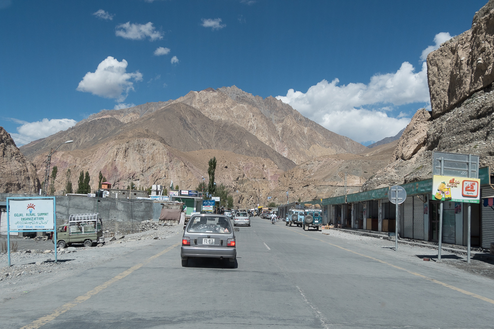
Now I’m in Pakistan. The border crossing was straight forward and everyone was just really friendly and welcoming. Had to pose for a few selfies and the way and so many were just flashing lights or pressing horns or waving. And together with the awesome scenery this feels like be on adventure again. What a change to China.
The first 100km are just a road from a different world. The Chines side of the Highway is allready great but this beats it hands down. Awesome. And once your and e road you know why this is one of the few greats roads to drive in your lifetime.
The customs in Sost were also very easy and for the first time on this journey Ihad to use the Carnet de Passage.
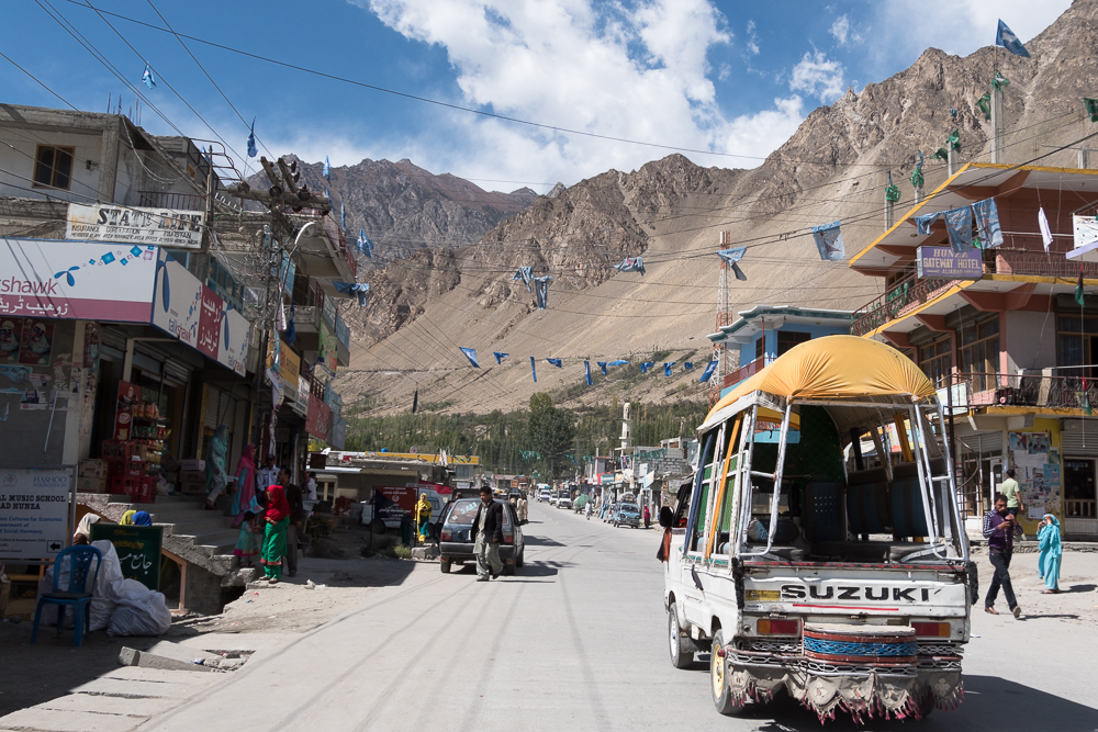
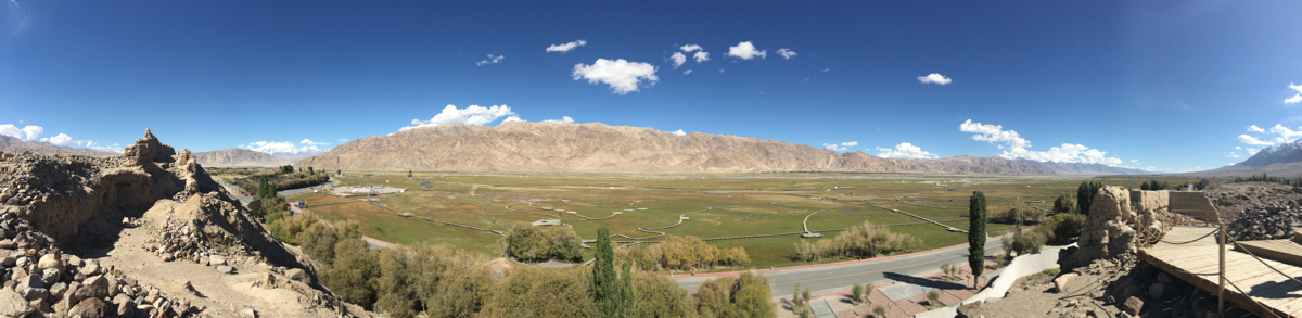
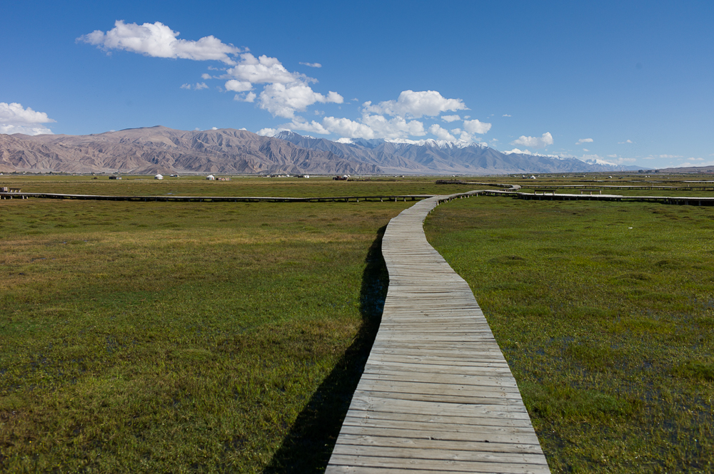
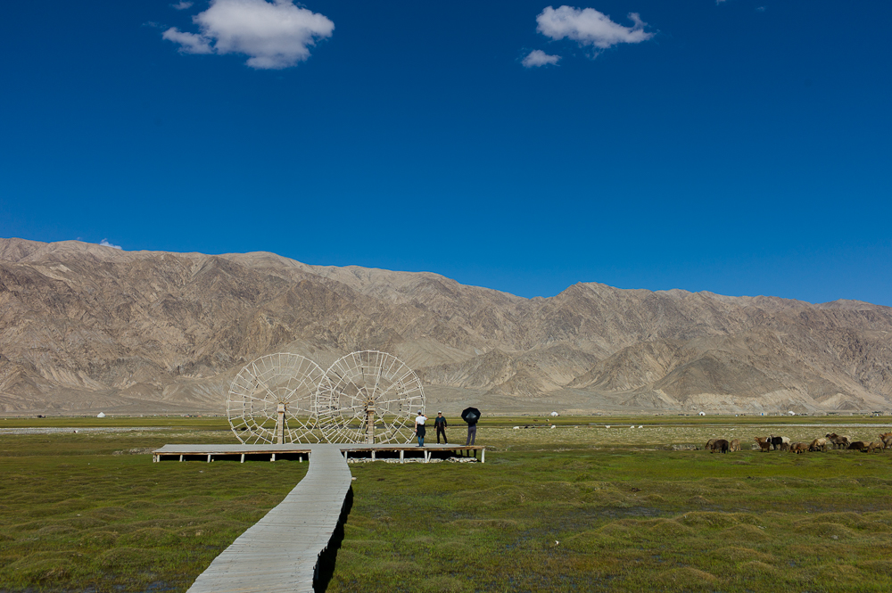
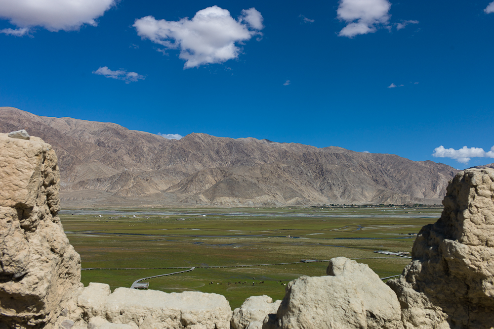
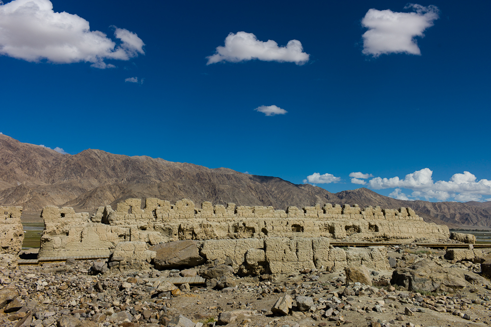
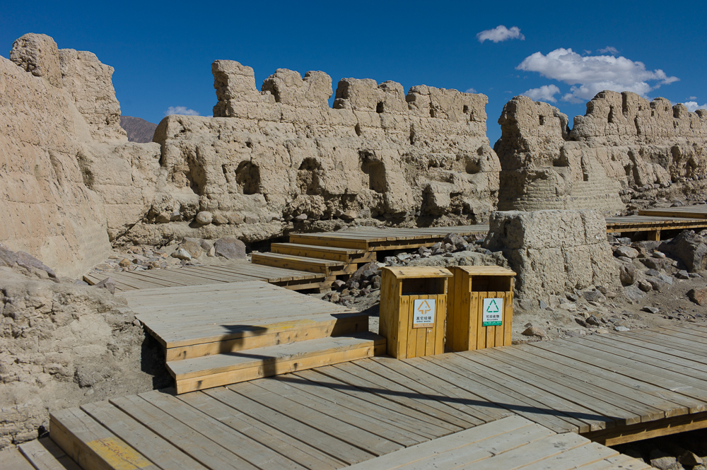
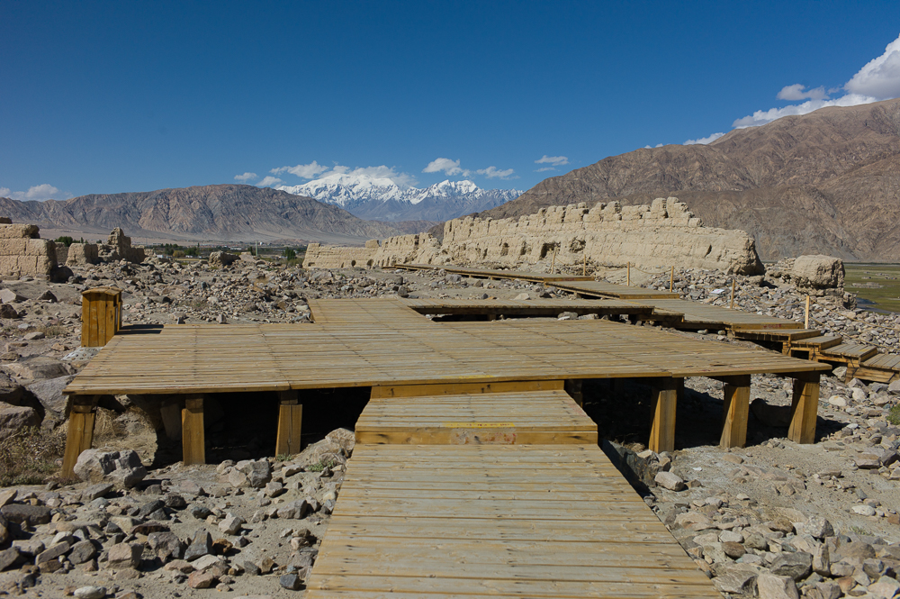
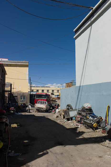
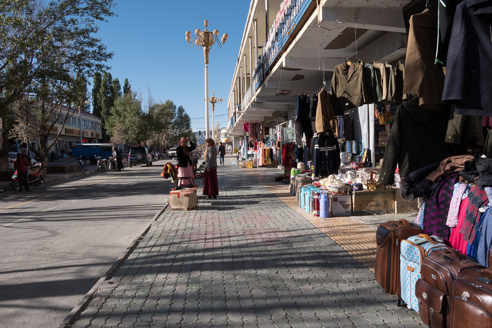
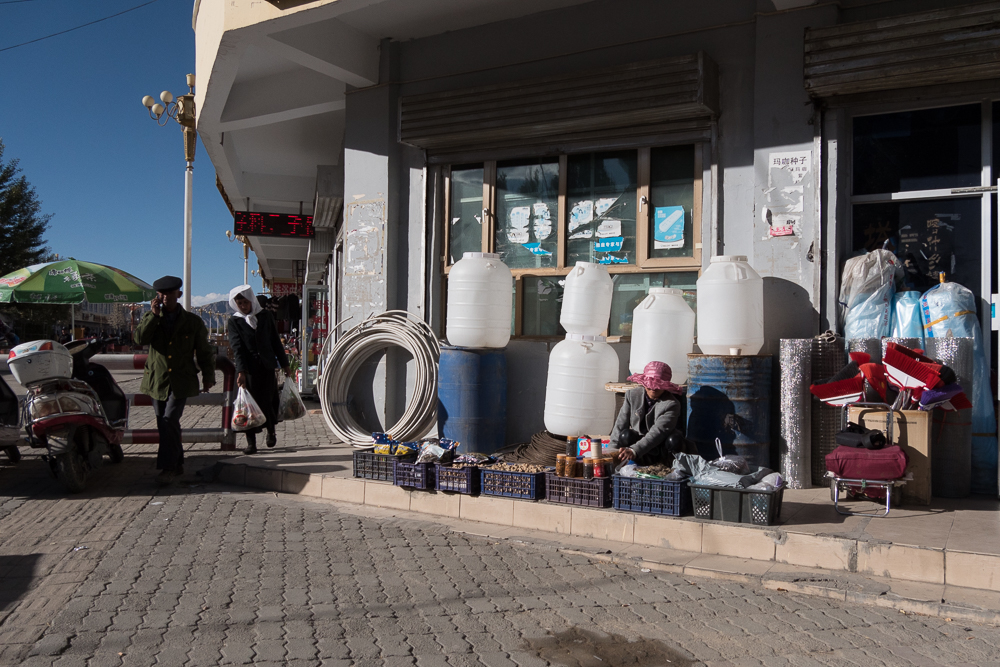
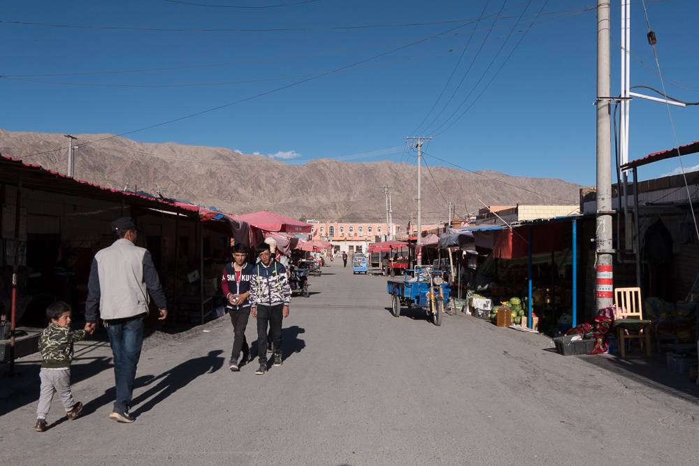
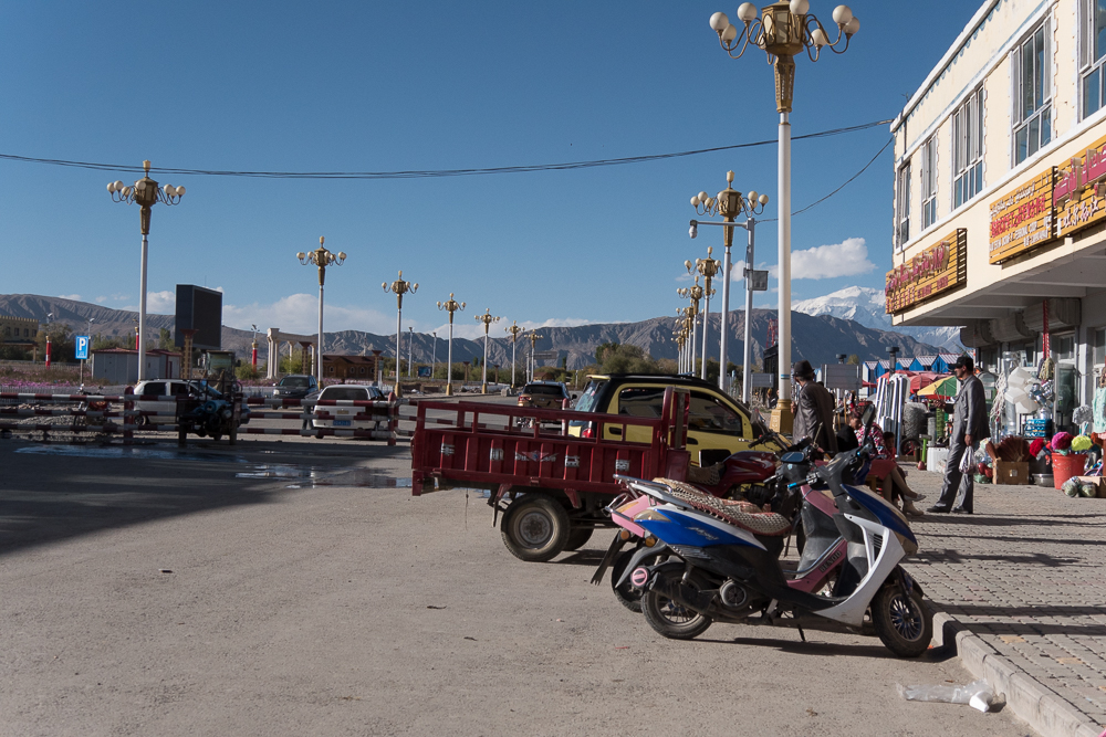
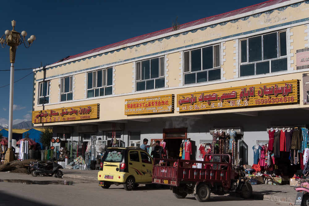
Taxkorgan
19/09/16 18:29 Filed in: China
This is the last major city and the main border control before heading to Pakistan. The city might be known under the name Puli as Marco Polo visited the place - the stone castle is one of the last remains from that time. The city itself is a quite one, about 10000 people, small main street and a black market. But it is a lovely place a word a visits from Kashgar.
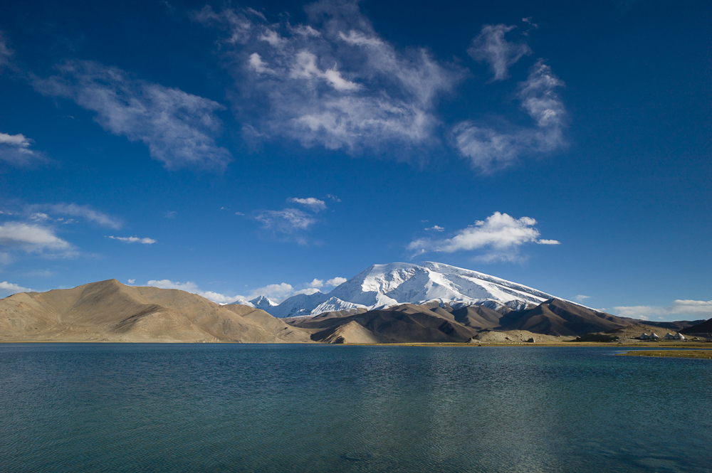
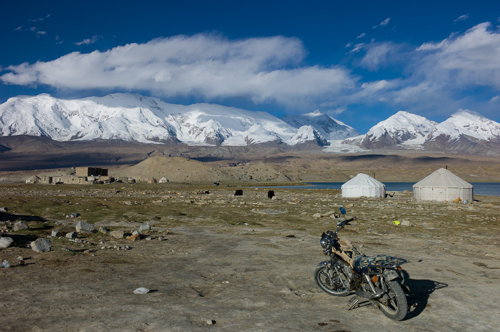
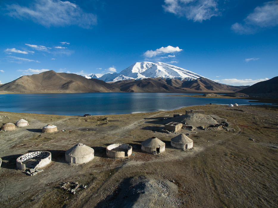
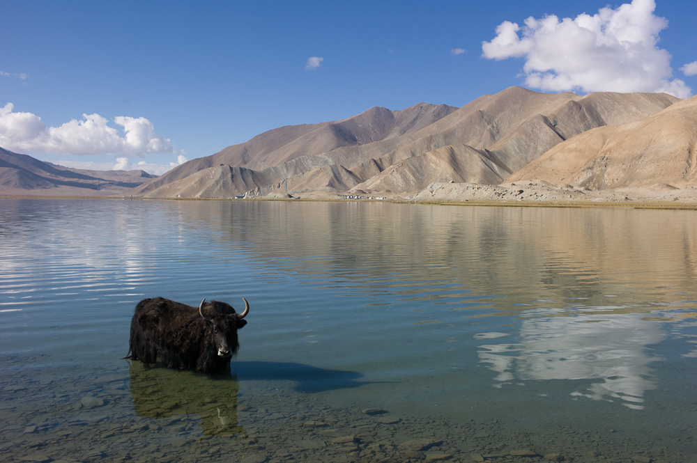
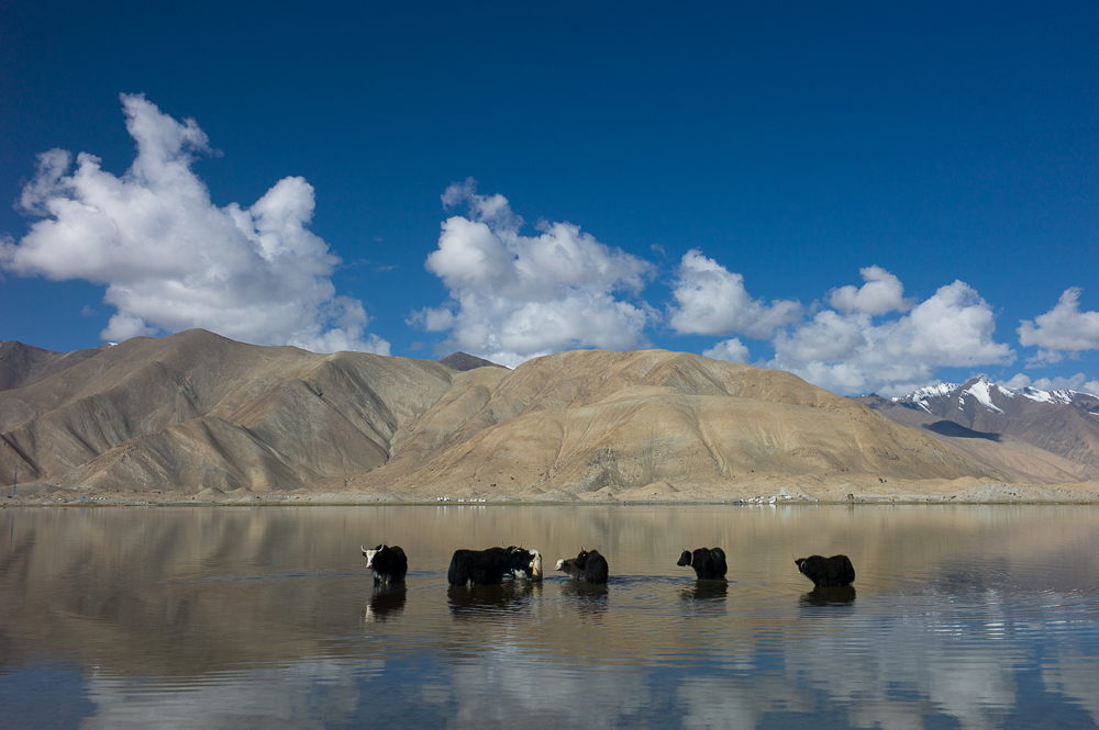
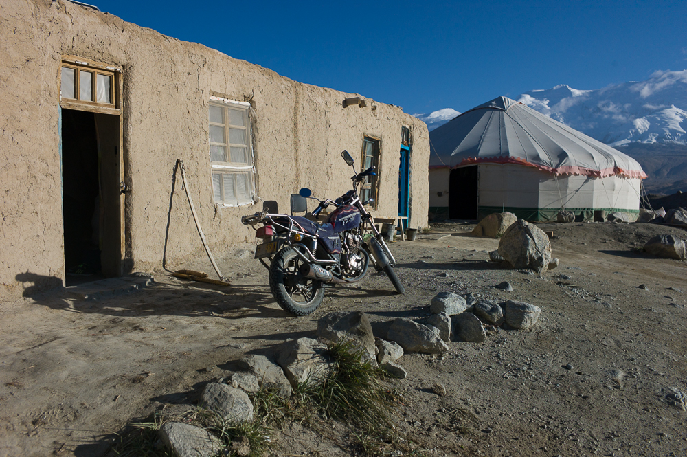
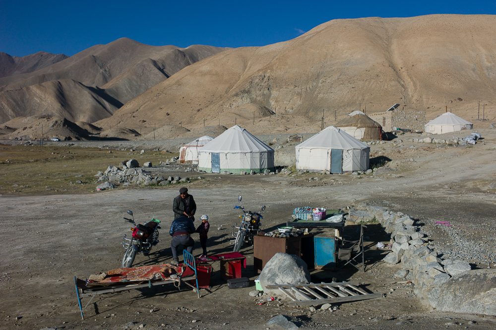
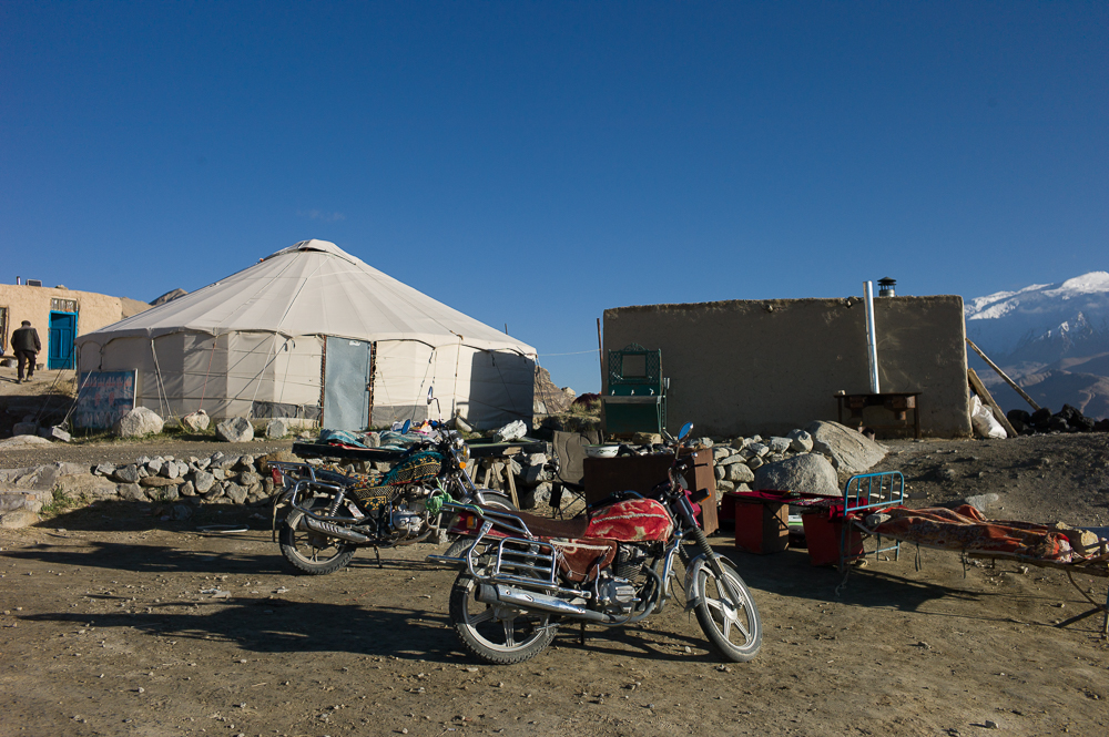
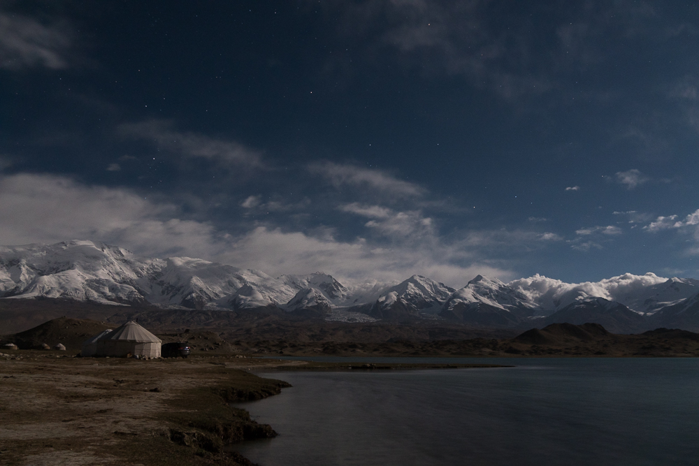
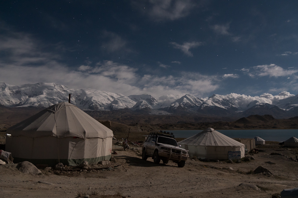
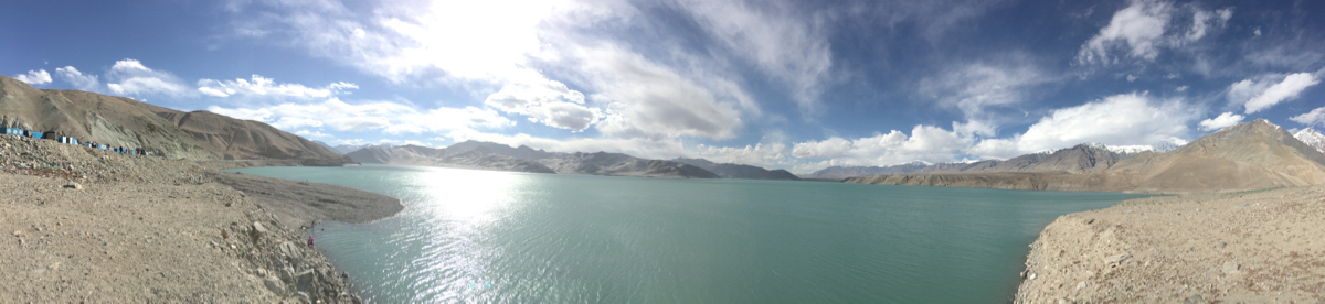
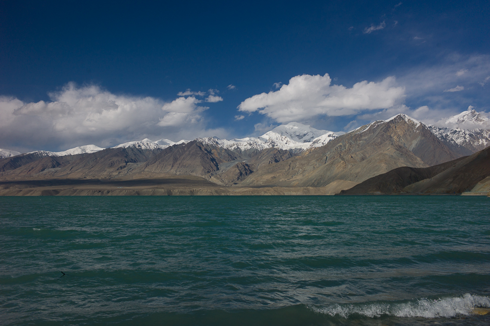
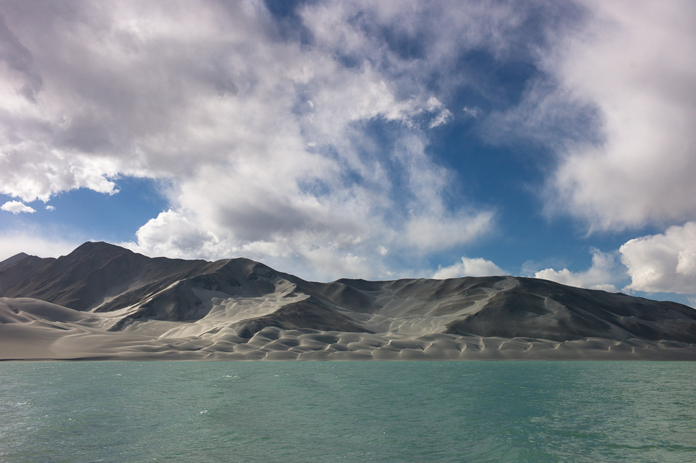
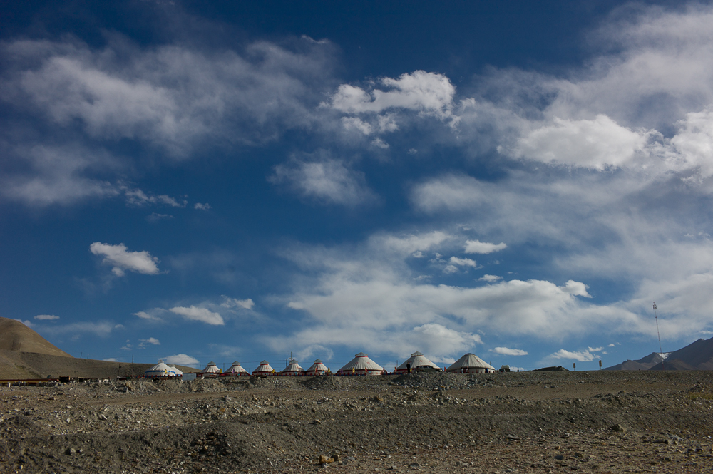
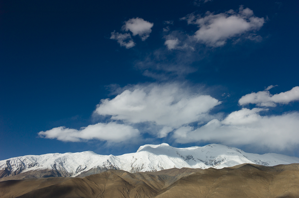
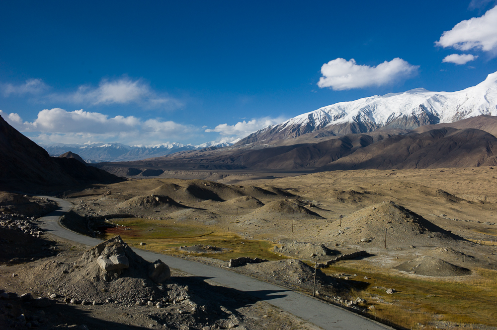
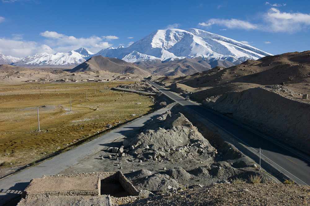
Mutztag Ata and the Karakuli Lake
19/09/16 18:24 Filed in: China
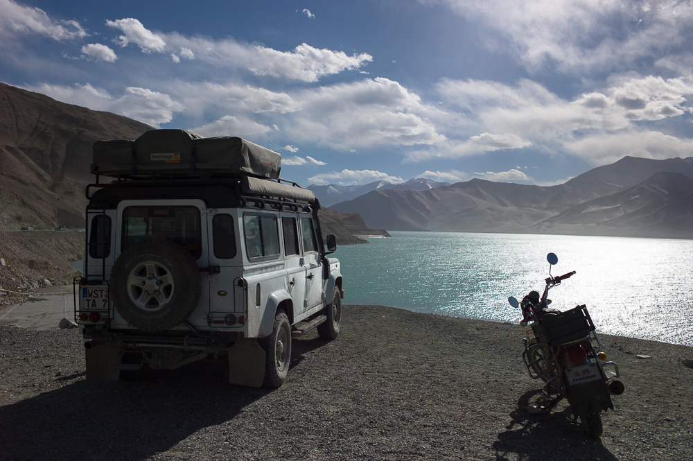
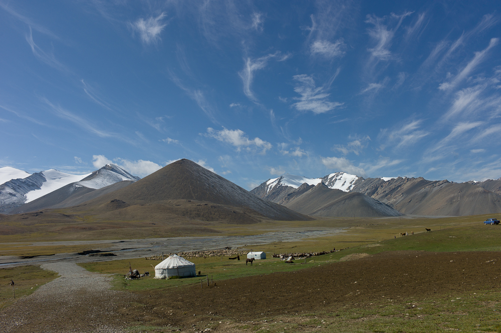
One, if not the highlight of the Chinese section of Karakoram Highway is the Karakuli Lake and 7400plus high Mutztag Ata. Stayed fro two night at ger camp just beside the lake. Wasn’t the only one, tourist from US, UK and Australia enjoyed the scenery as well. also went to one of the glaciers of Mutztag Ata - at about 4655m by car.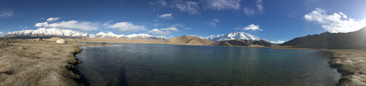
Karakorum Highway China
19/09/16 18:20 Filed in: China
Finally, it’s the 16.09.2016 and I can leave now Kashgar. The Pakistan Border will be open on Monday.
And now one of the main Highlight of the whole journey starts - The Karakoram Highway. Starting from Kashgar (China) and finishing somewhere near Islamabad Pakistan). About 1200km across mountains, following glaciers, peaks of 7000m plus and just an awesome landscape.
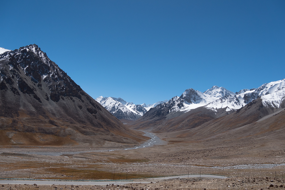
And now one of the main Highlight of the whole journey starts - The Karakoram Highway. Starting from Kashgar (China) and finishing somewhere near Islamabad Pakistan). About 1200km across mountains, following glaciers, peaks of 7000m plus and just an awesome landscape.
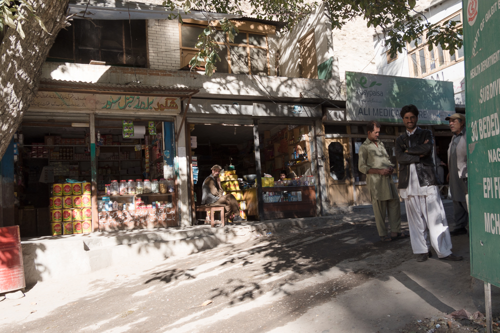
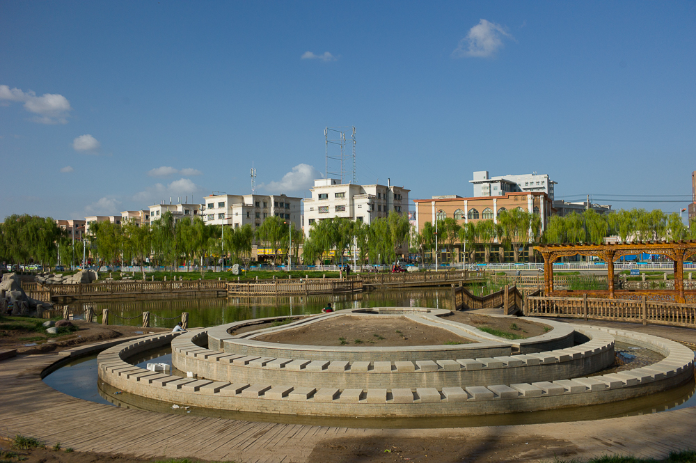
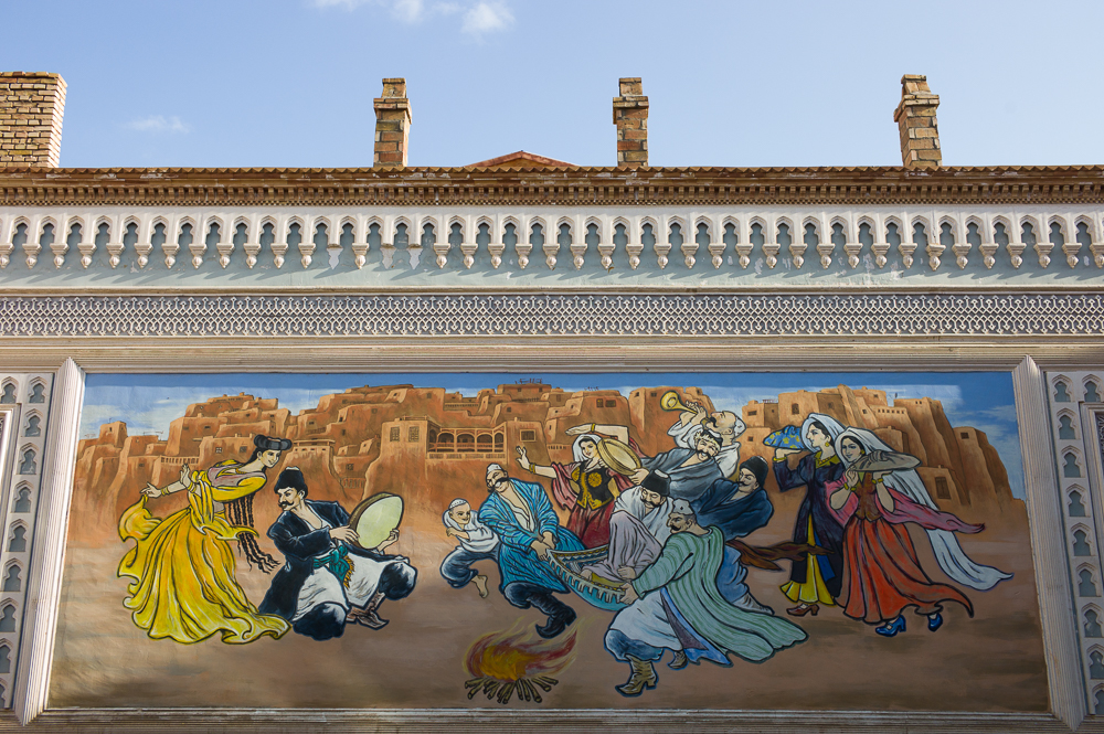
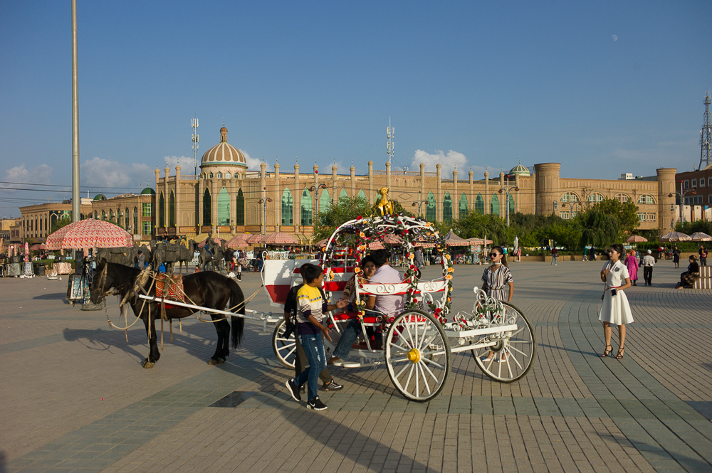
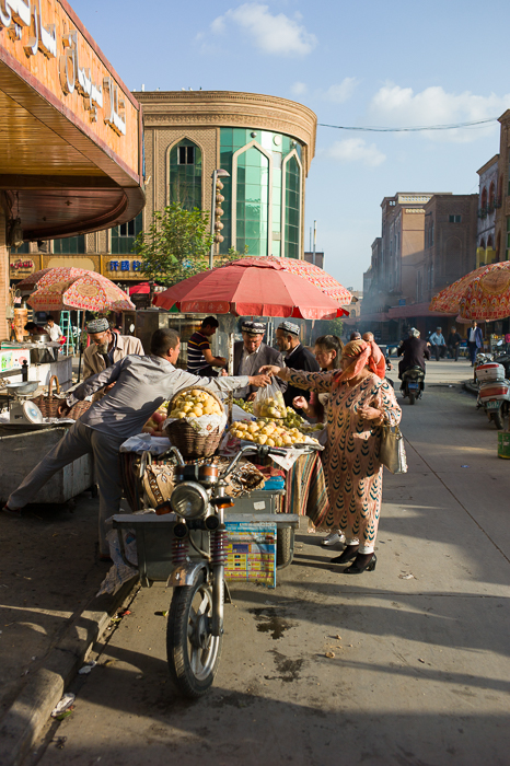
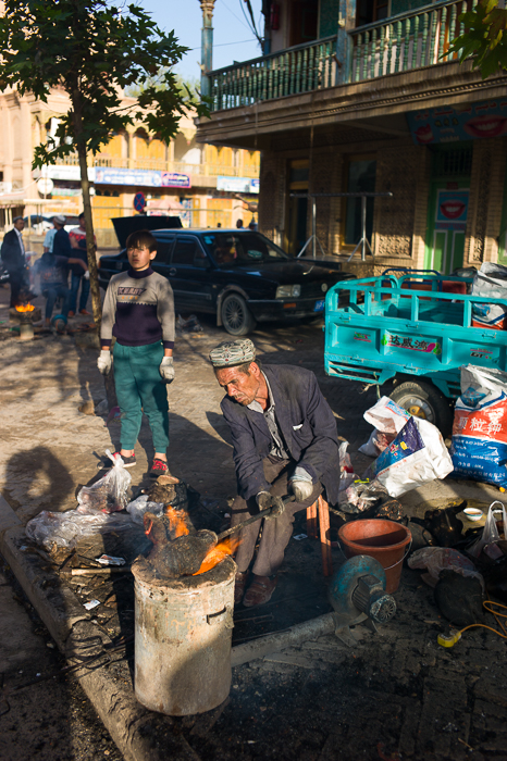
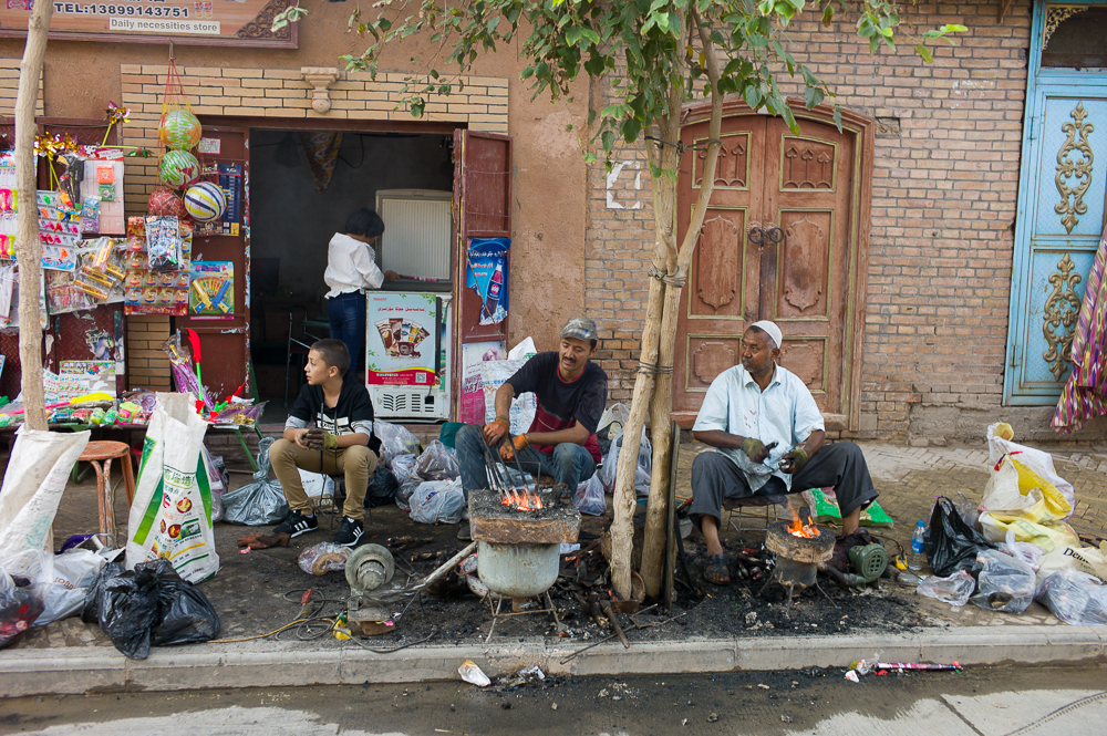
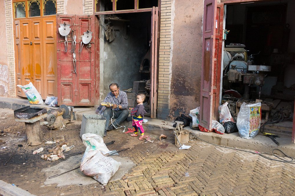
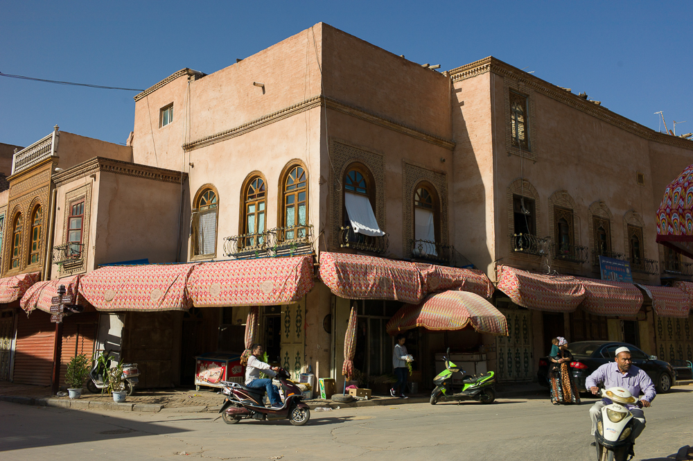
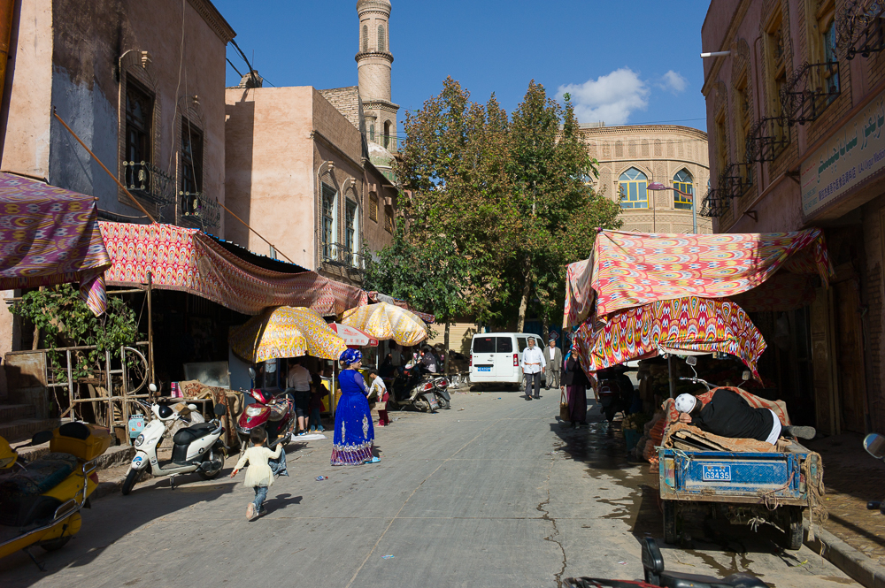
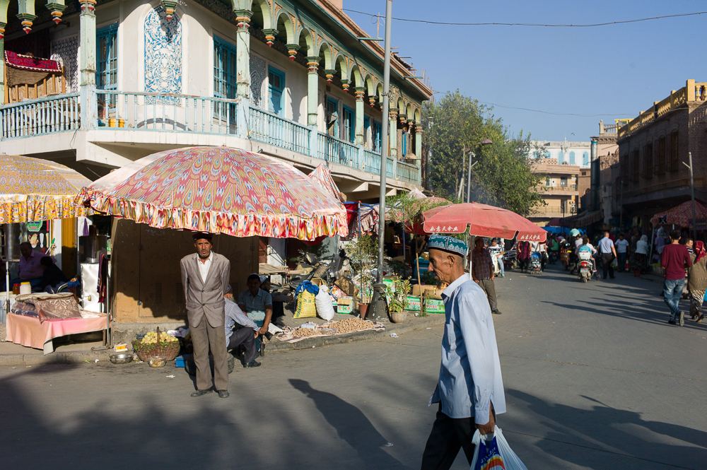
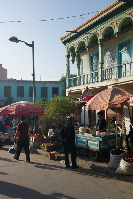
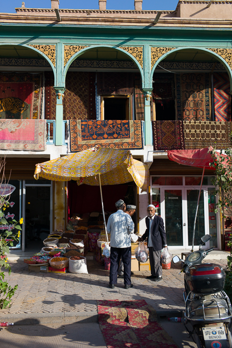
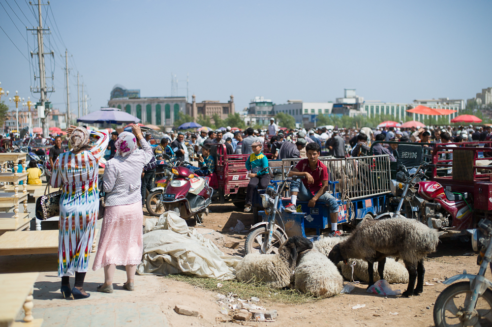
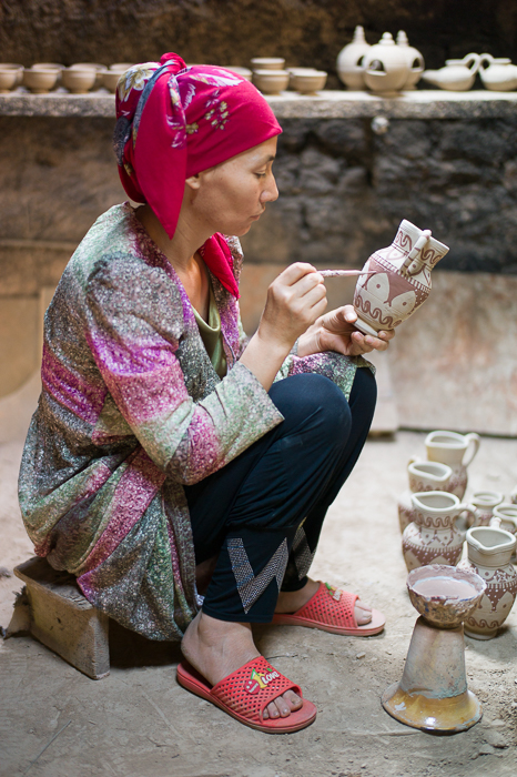
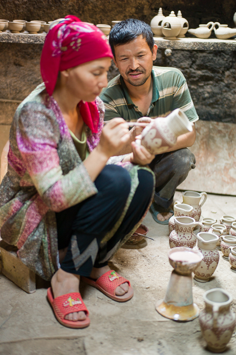
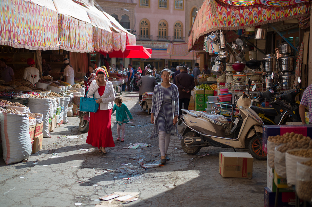
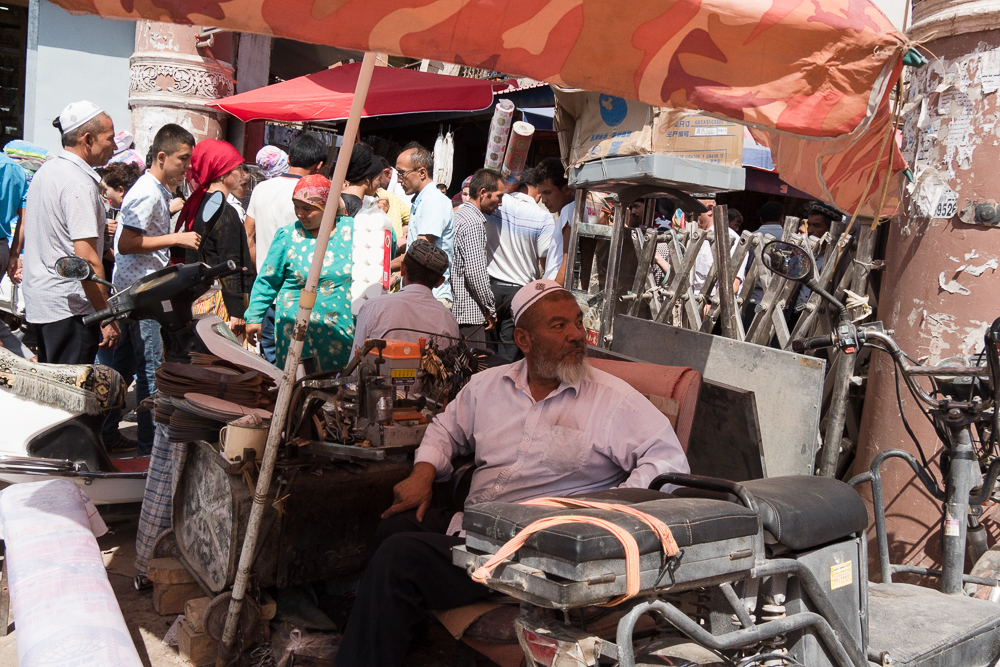
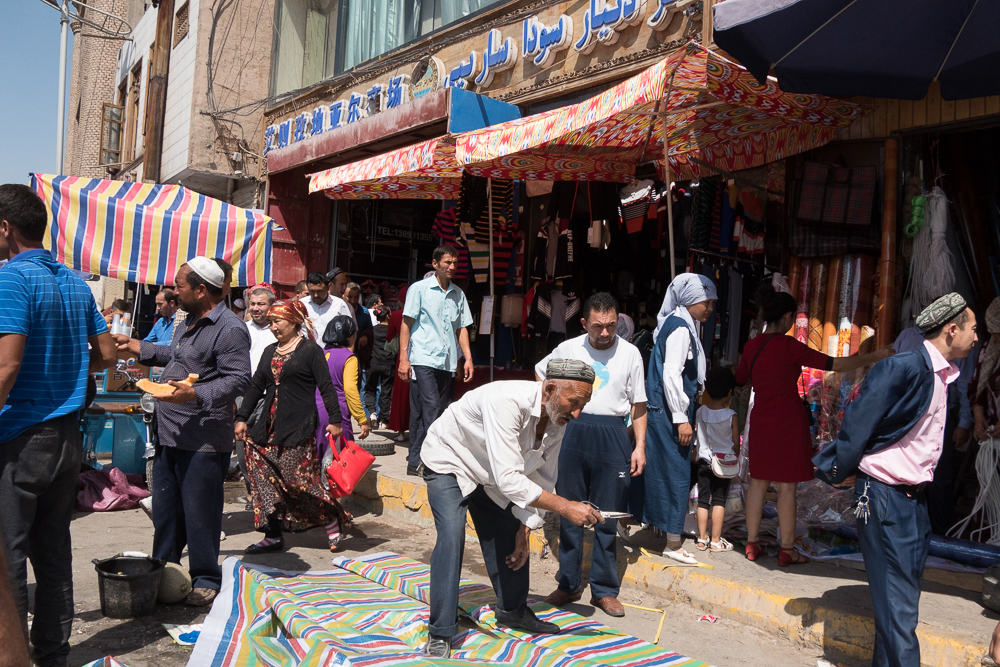
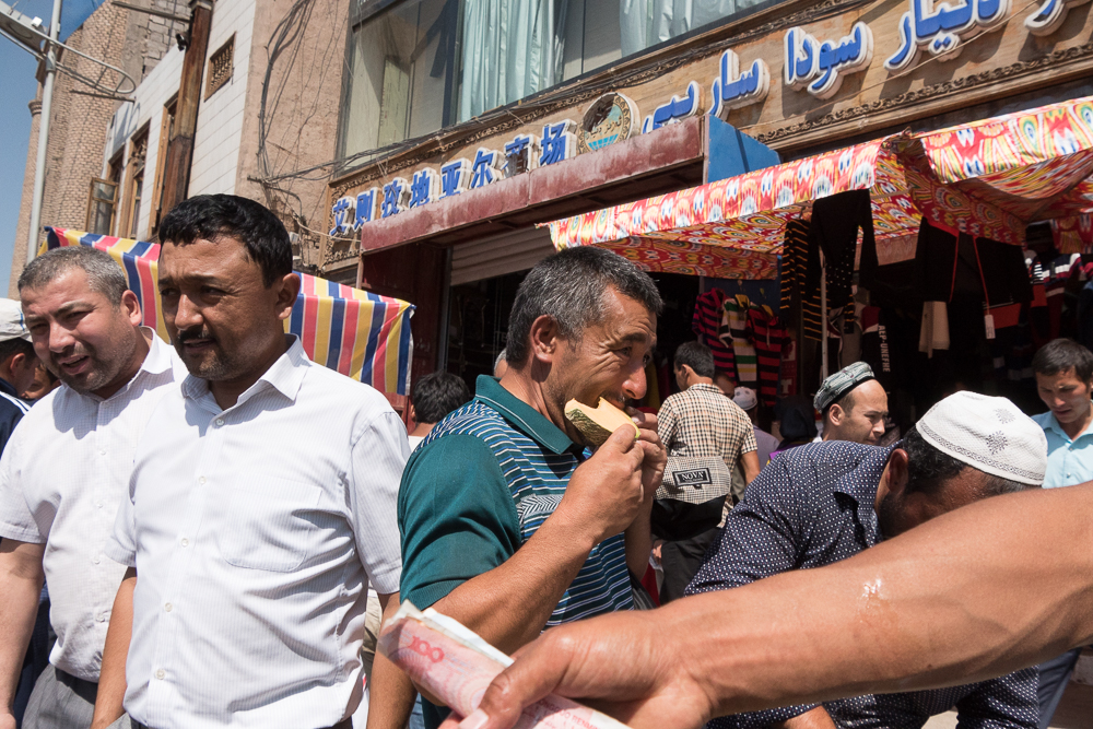
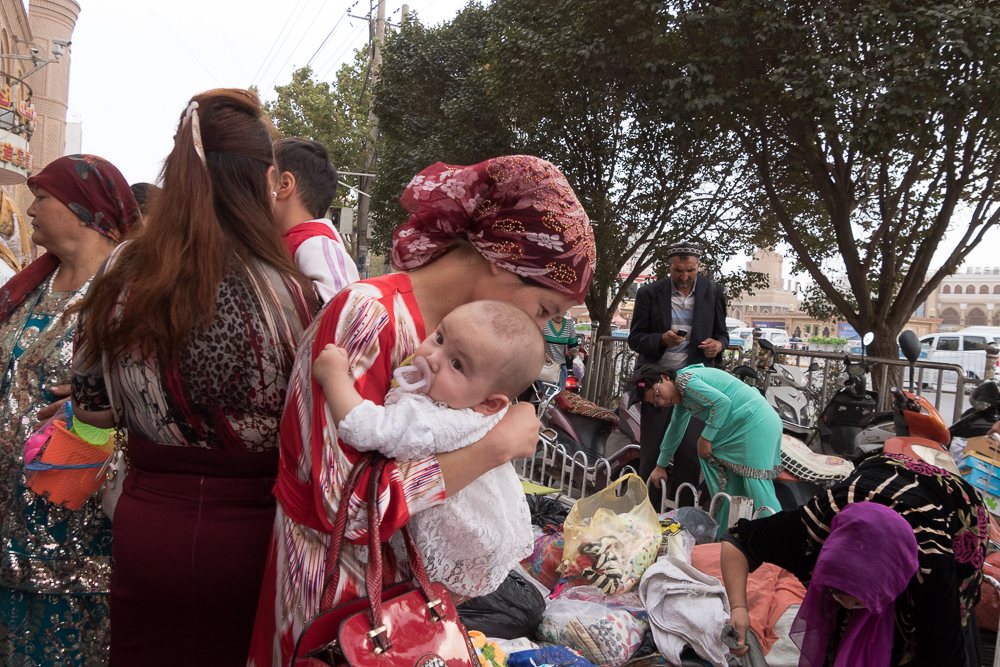
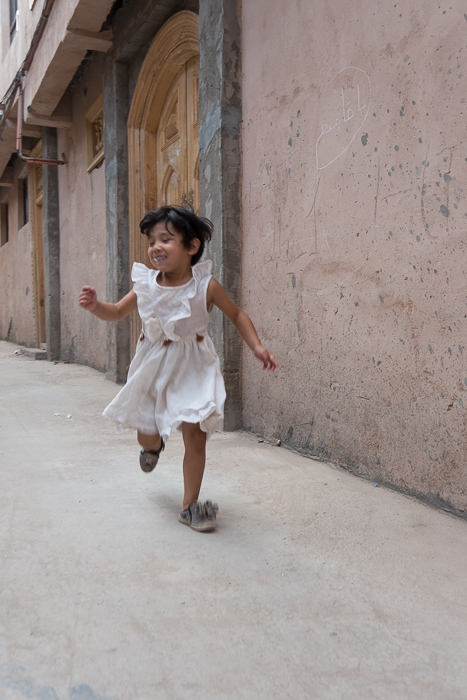
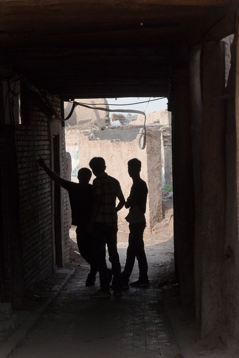
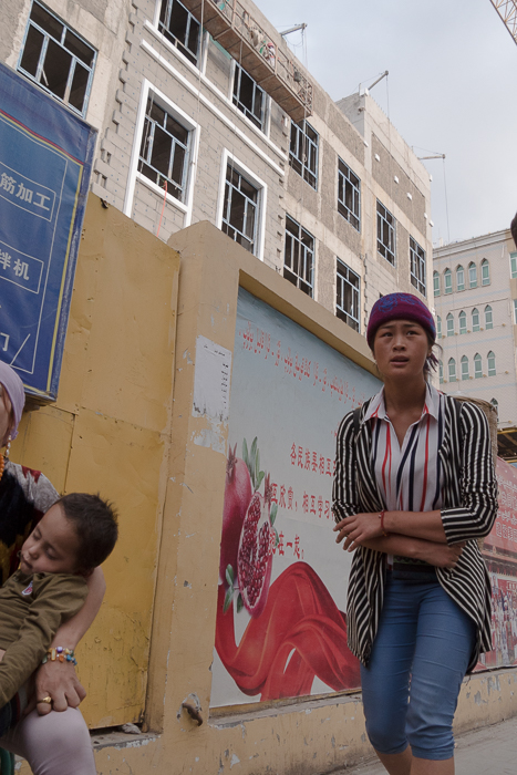
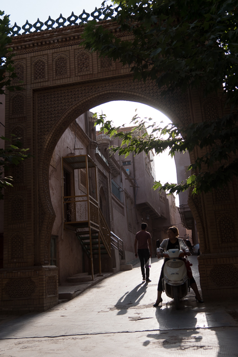
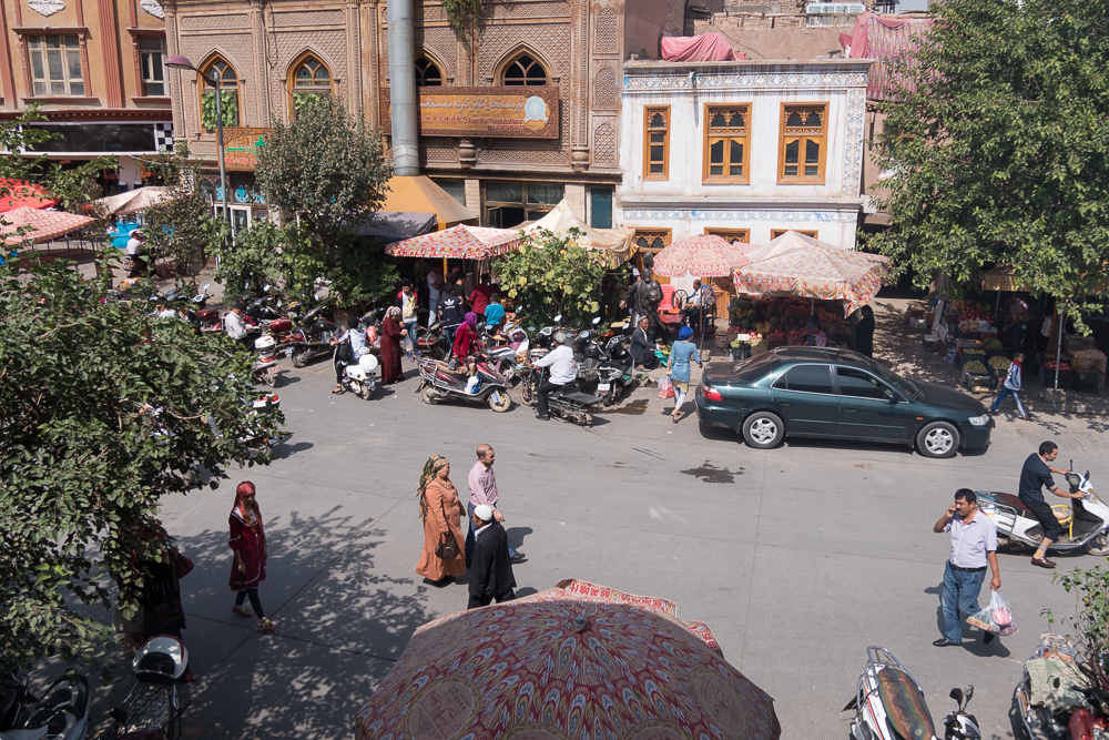
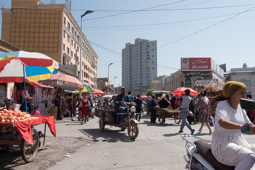
Kashgar Old City
12/09/16 17:09 Filed in: China
Kashgar, the ancient town in the middle of the Silk Road network with a history of over 2000 years. From here on you could go to all the different directions of the Silk Road, such as China, India, Iran, Afghanistan, Kyrgistan, Usbekistan etc. This place was visited by Marco Polo and described in his book.
And being in the centre of the whole network Kashgar was always the main basar and market for trade along side the route. Here the merchants, traders, bargainers, tradesmen and travelers made their business, exchanged goods, got new camels, horses or yaks depending were they were heading, refreshed themselves and all the other things you would want to do at such such an vibrant place.
Nowadays the city is still a very important market town with good connections to Pakistan, Kyrgistan, Tajikistan, Tibet and China. Not much has been left of the big old city, but what is left is still impressive.
Beside the well know Silk Road cities in Uzbekistan this is the place to visit to experience the ancient story of the Silk Road.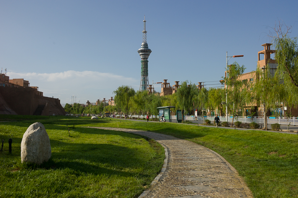
Toruggart Campsite
12/09/16 17:09 Filed in: Kirgisistan
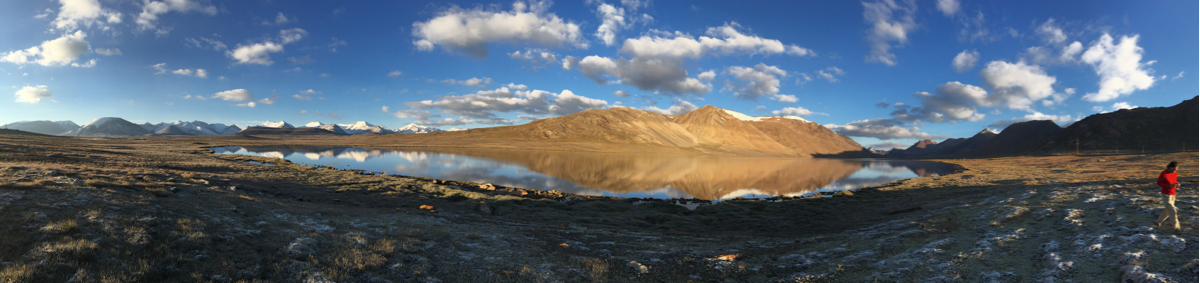
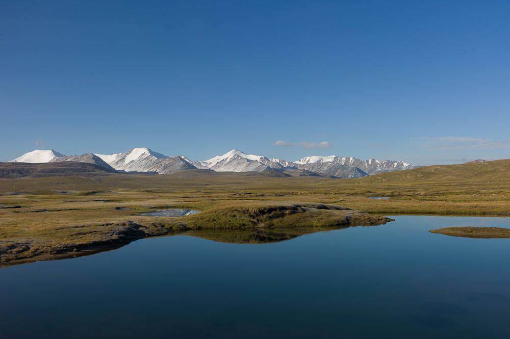
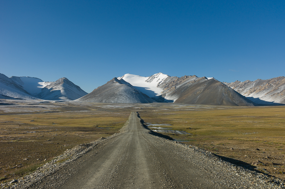
This was my final Campsite in Kyrgistan before heading over to Kashgar, China. Spectacular views of the Tien Shan mountains and their surroundings at about 3500m. 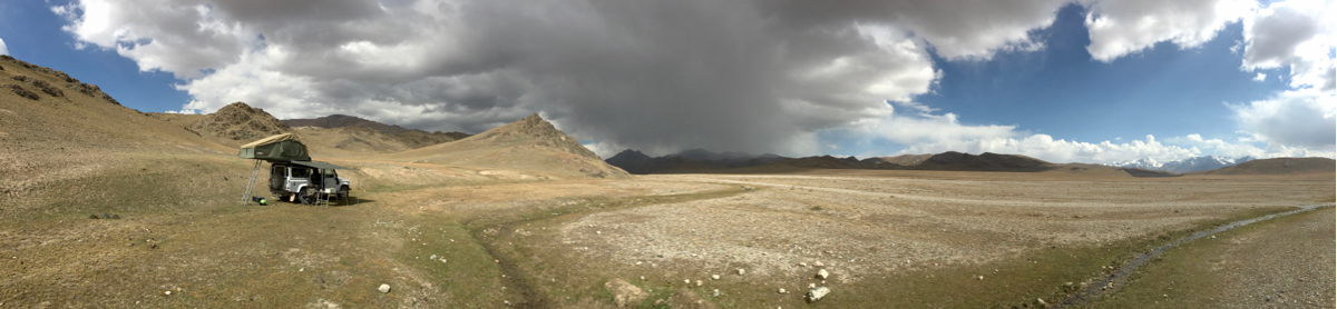
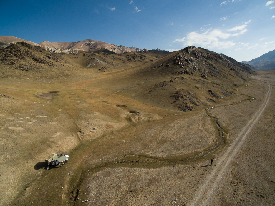
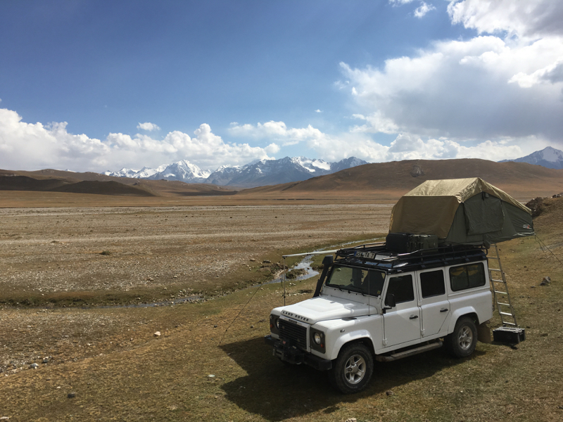
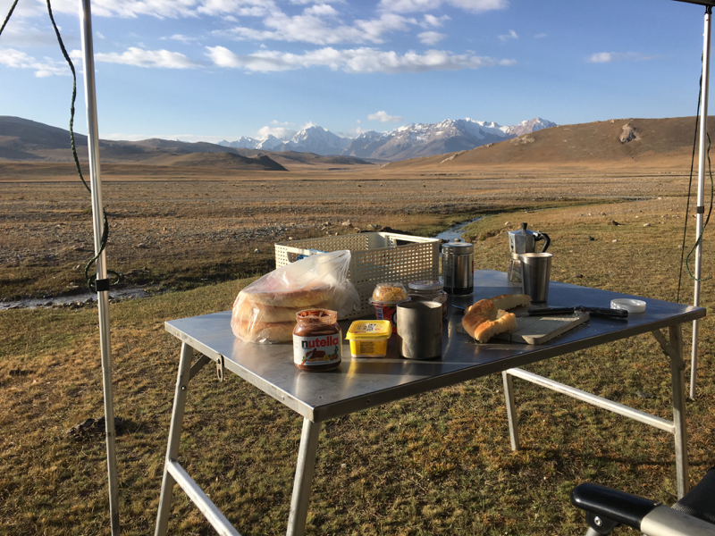
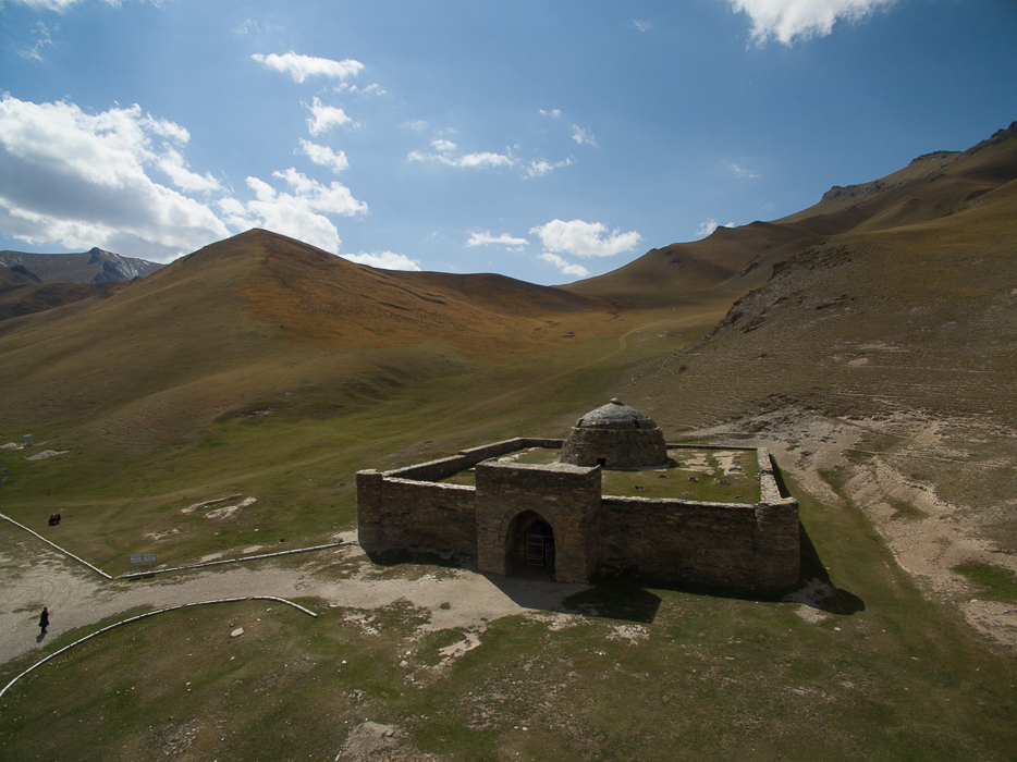
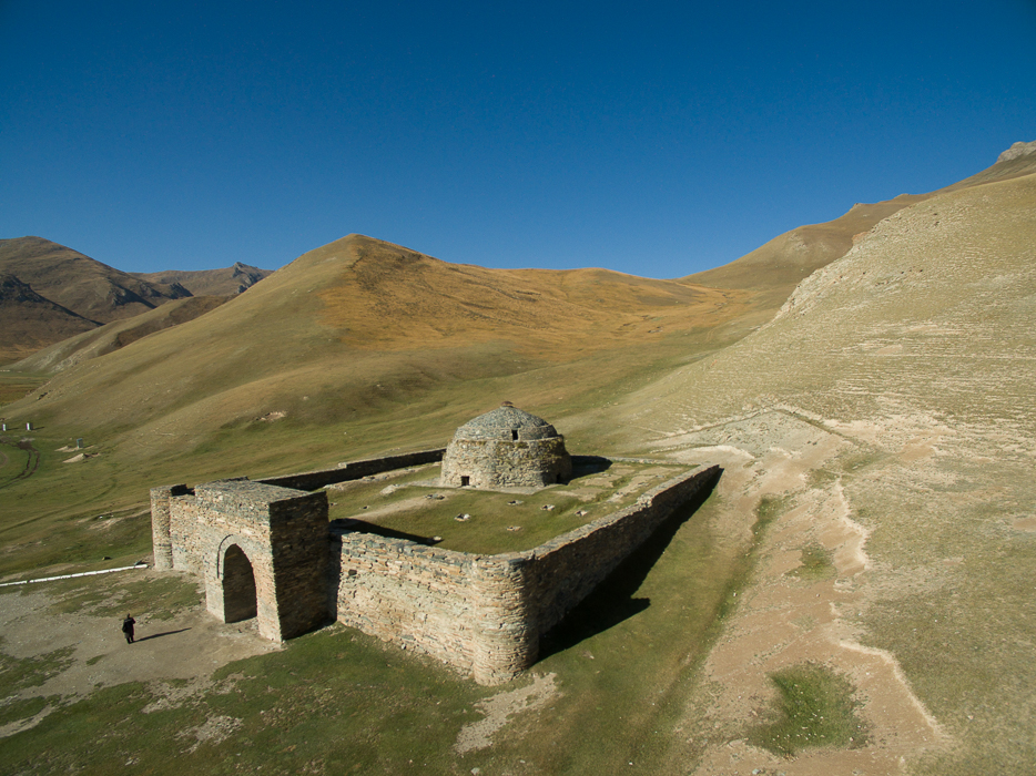
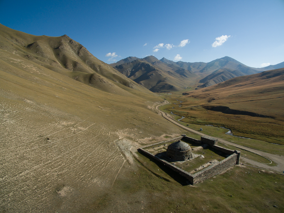
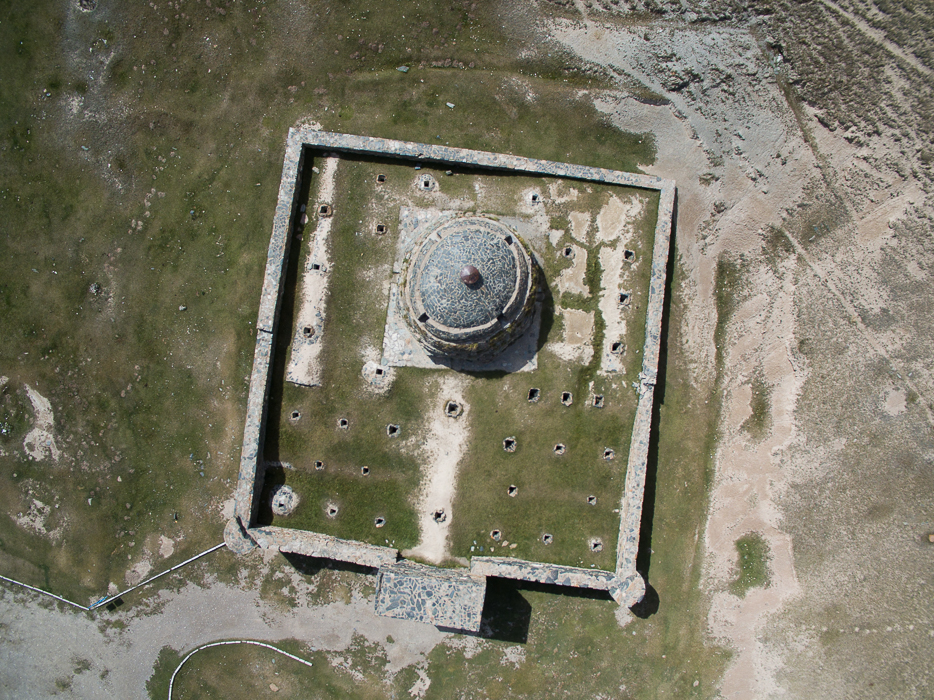
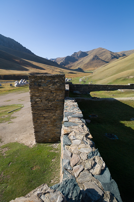
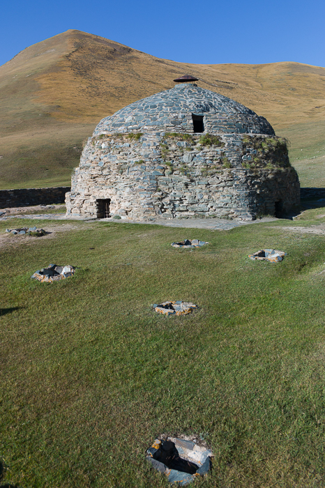
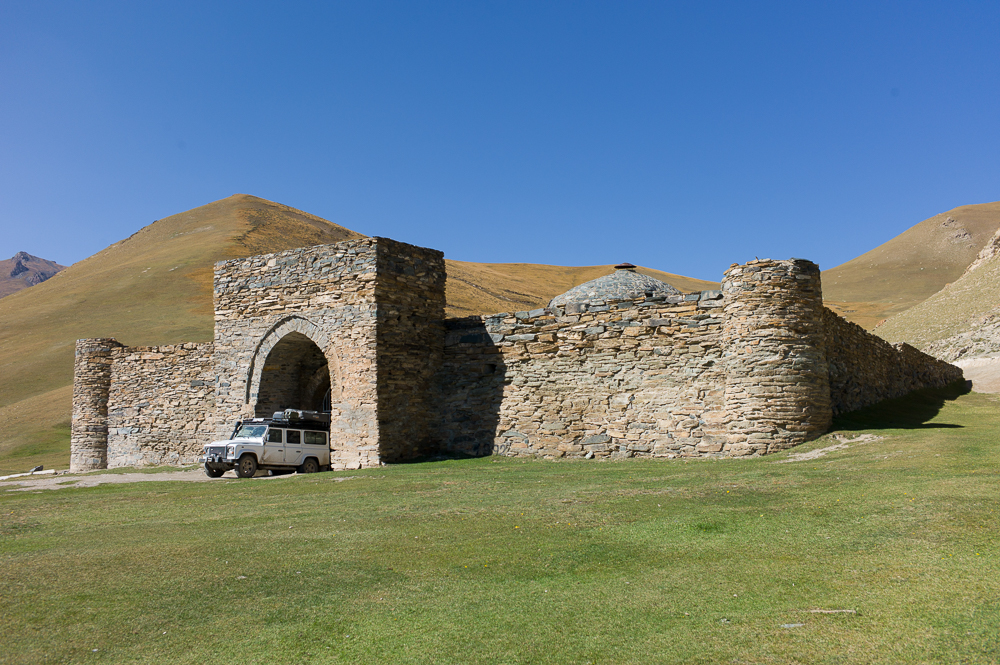
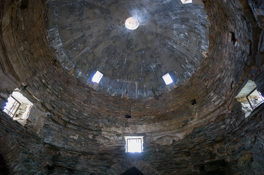
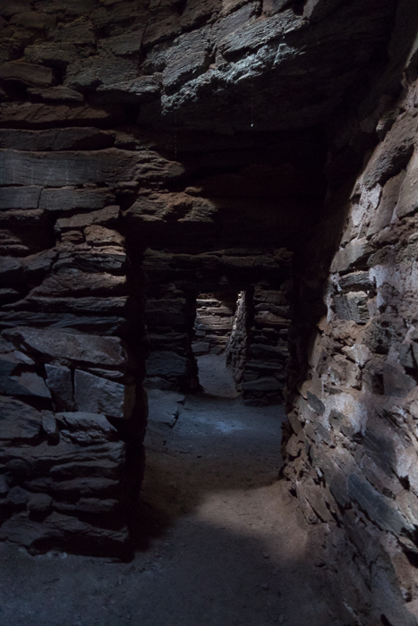
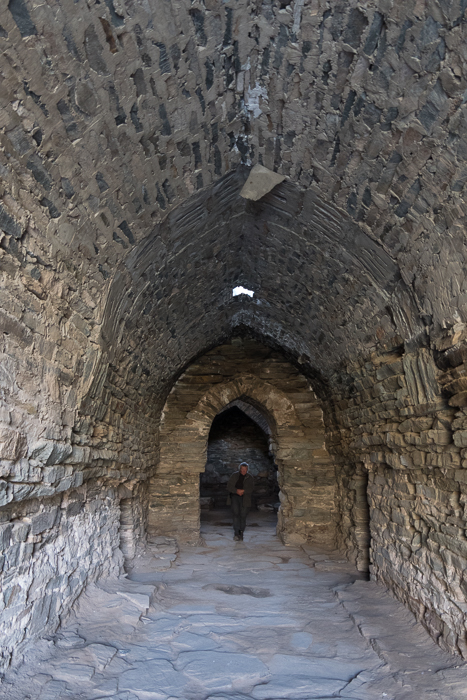
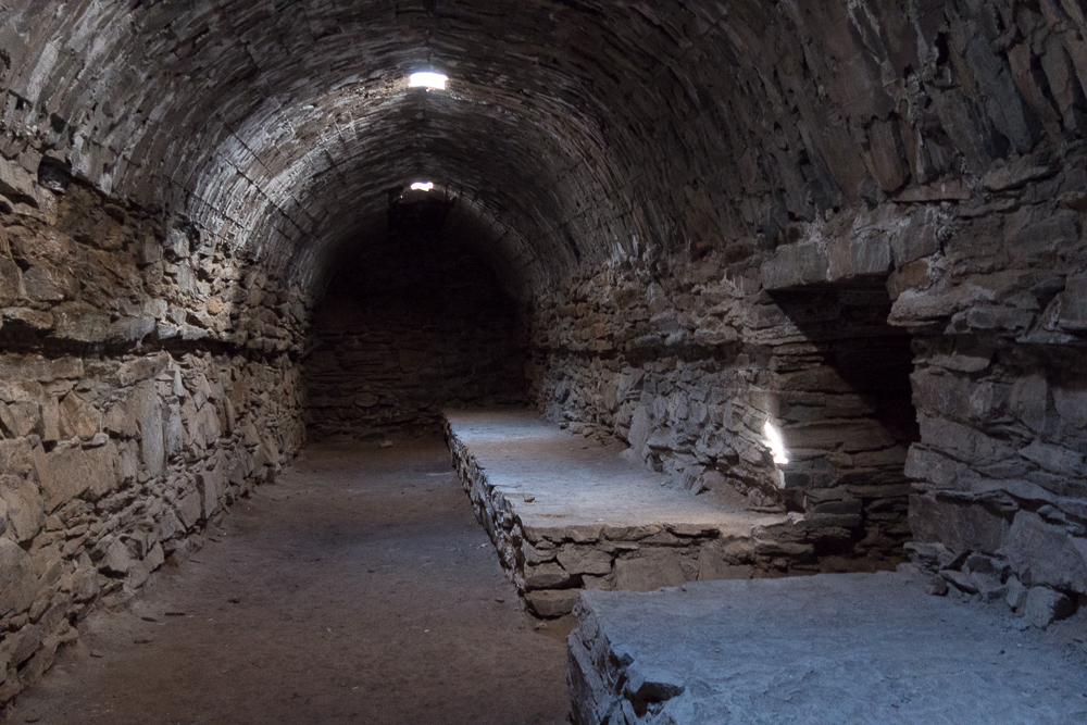
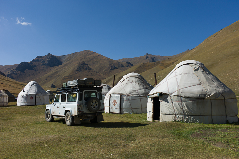
Tash Rabat
12/09/16 17:09 Filed in: Kirgisistan
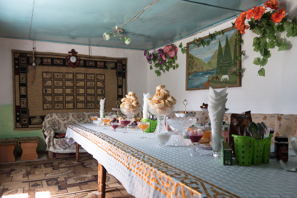
Cash Rabat is one of the best preserved historic caravanaserei alongside the Silk Road. Build in the 15th century at an altitude of 3200m within the Tien Shan mountains it is about 250km away from Kashgar (China) respectively Bishkek (Kyrgistan). It consists of about 31 rooms and the main center hall and is also partly build into the mountain so that you can easily walk onto the roof section.
I stayed at a jurt camp for the night.
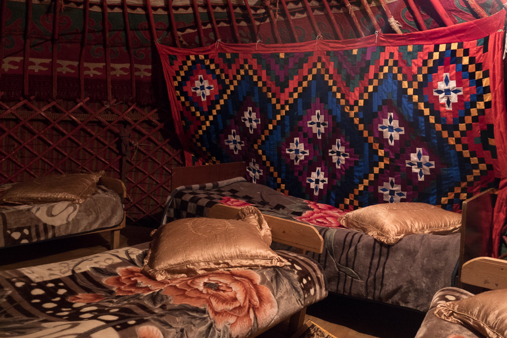
I stayed at a jurt camp for the night.
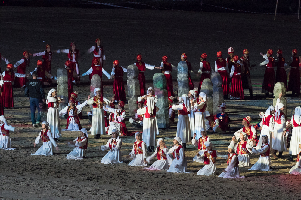
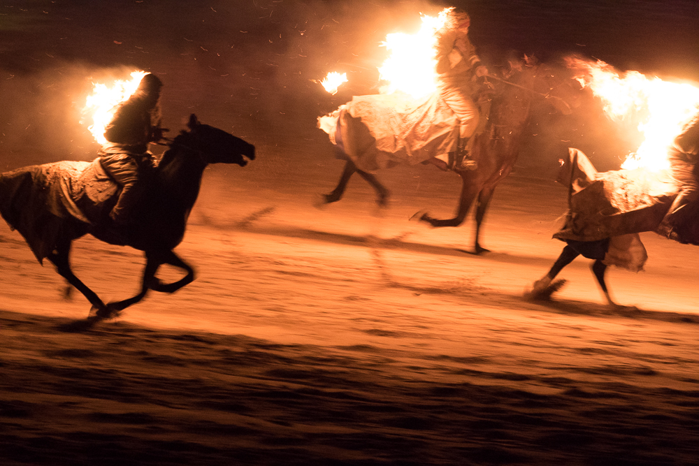
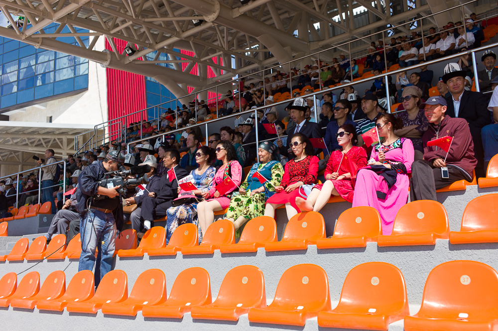
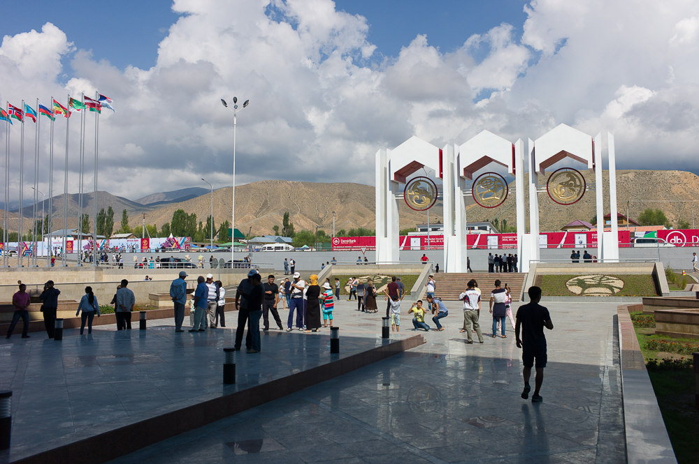
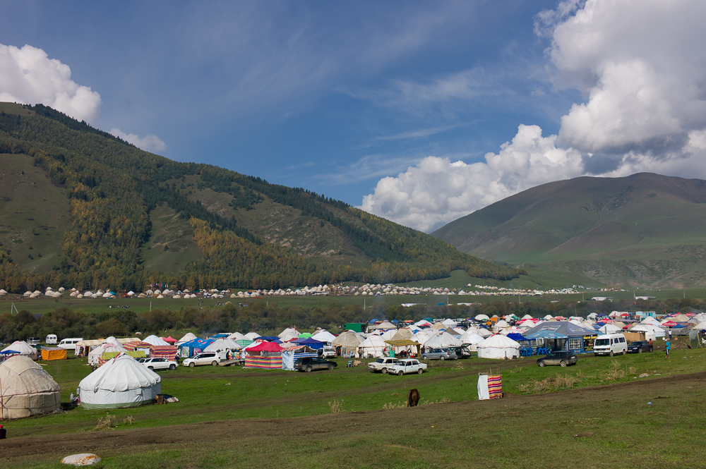
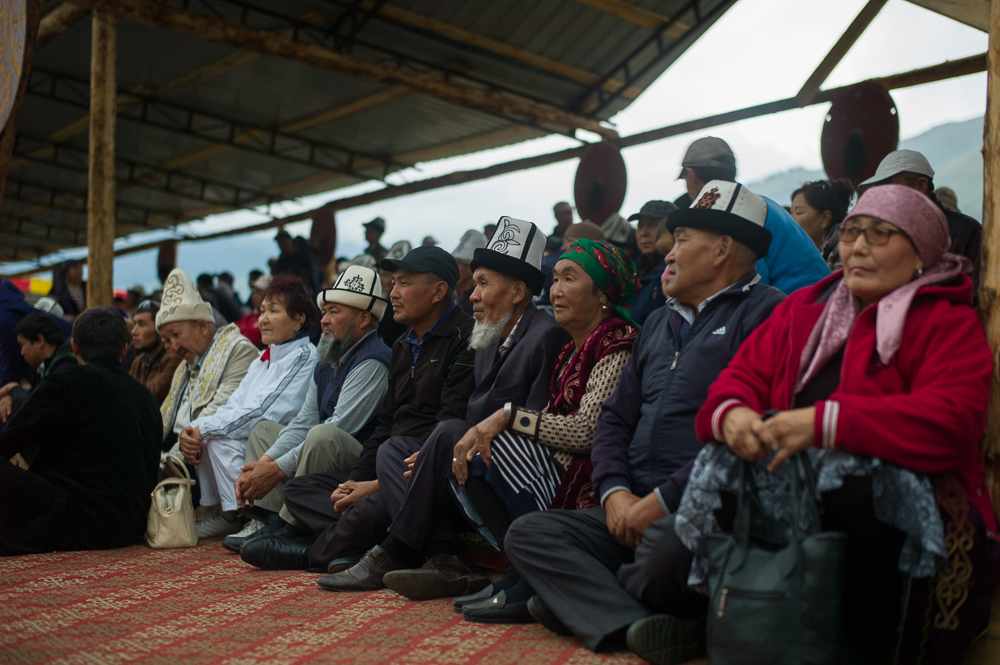
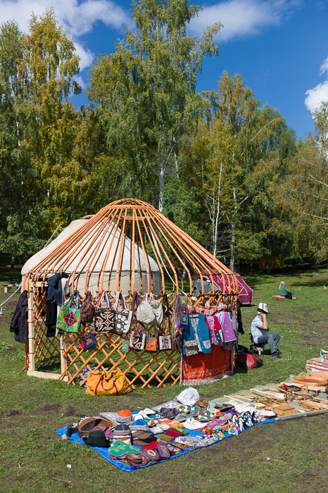
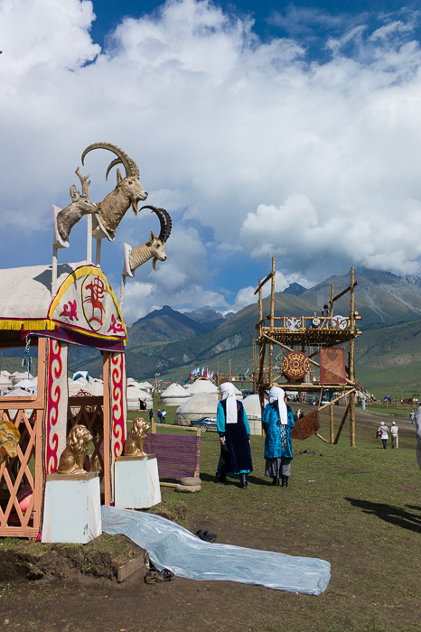
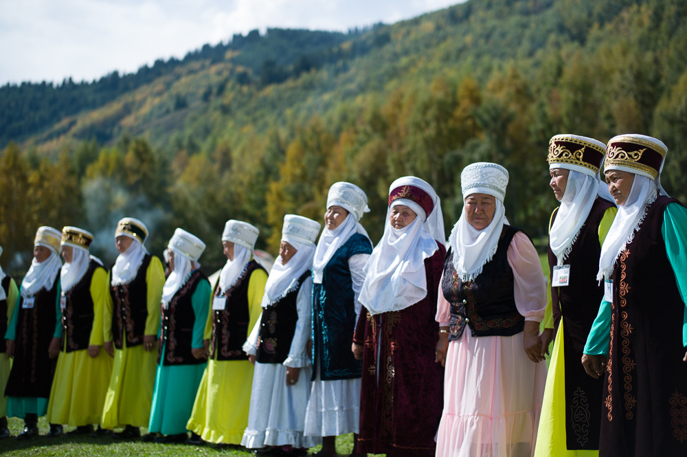
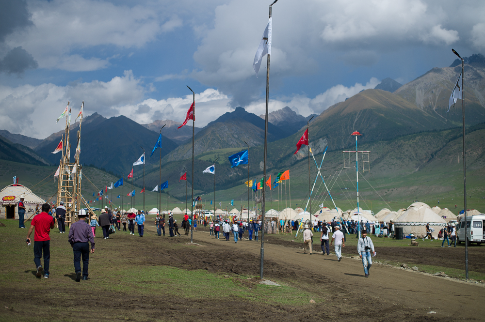
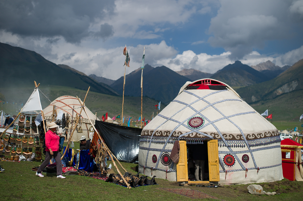
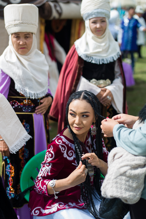
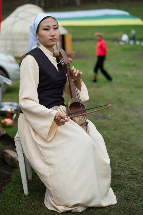
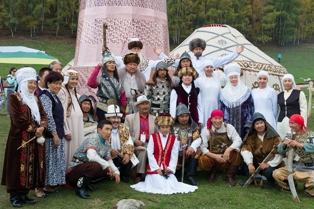
World Nomad Games 2016
12/09/16 17:08 Filed in: Kirgisistan
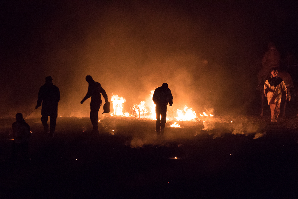
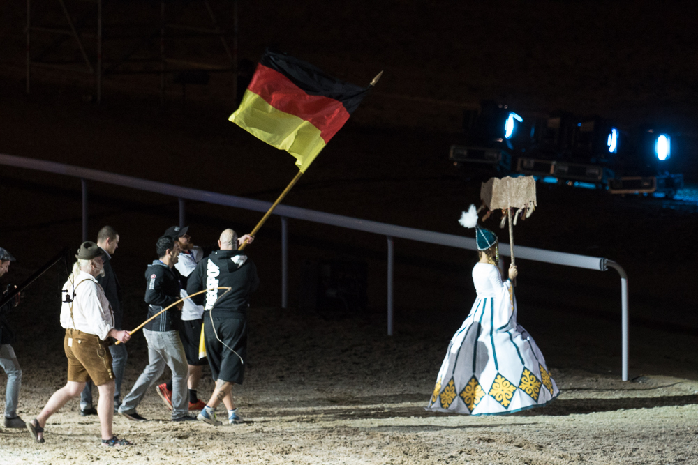
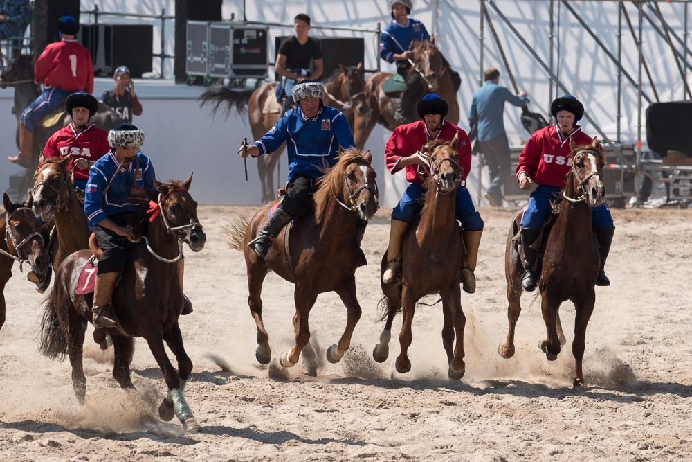
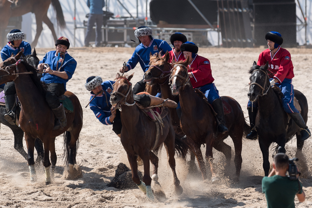
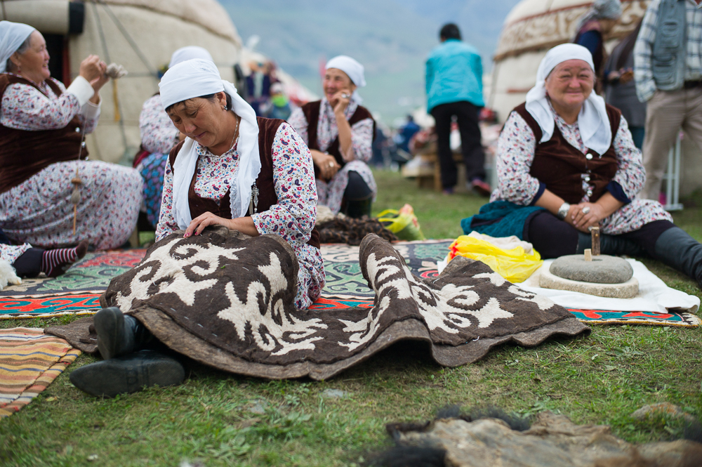
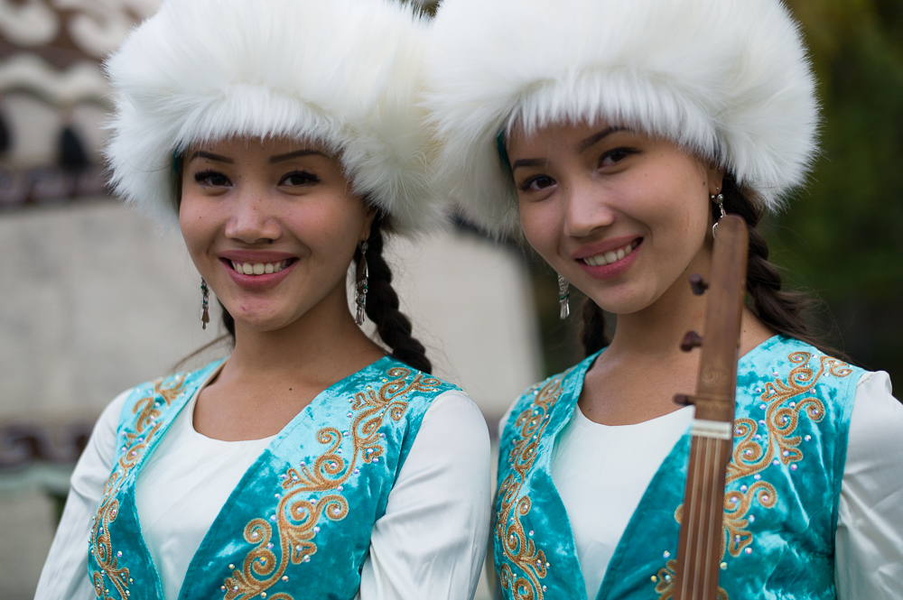
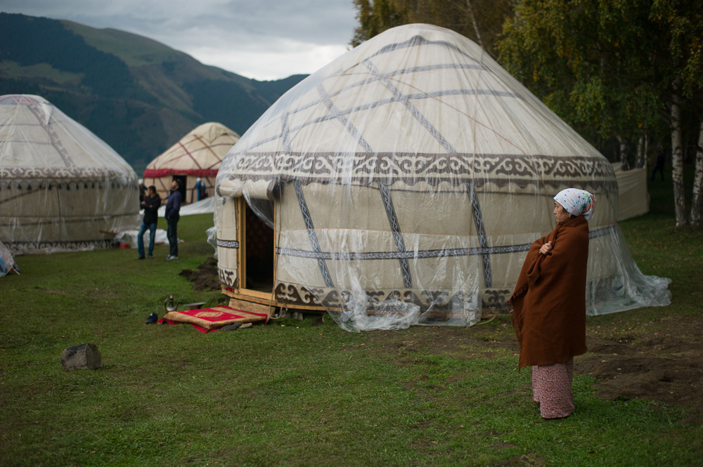
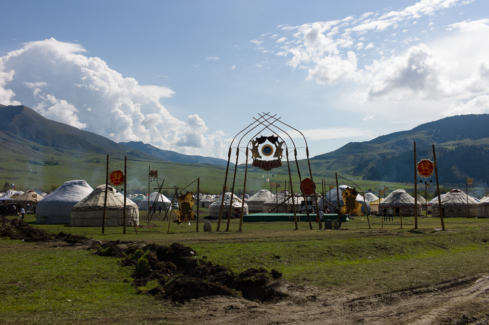
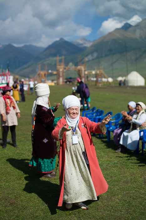
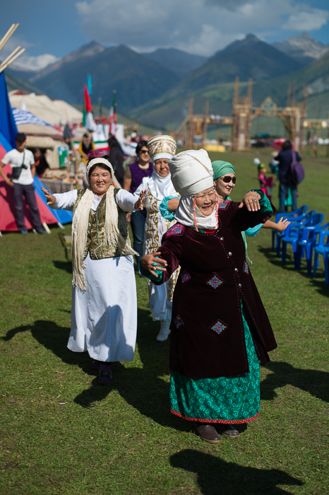
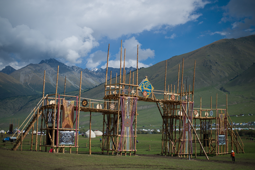
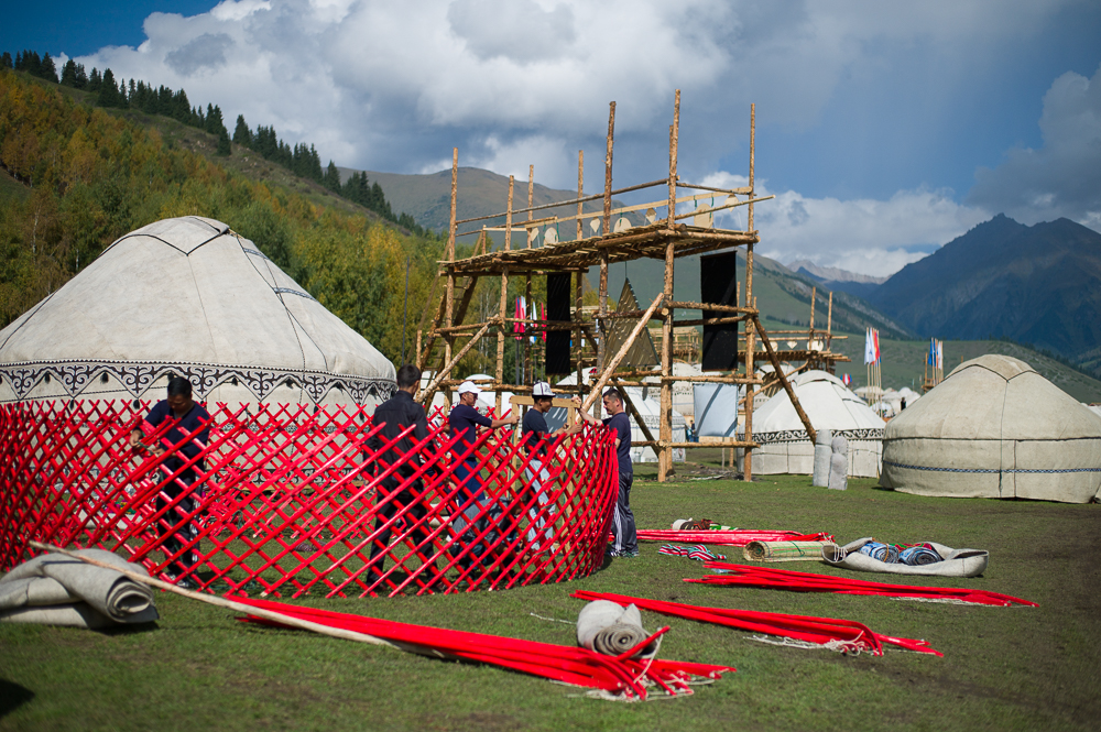
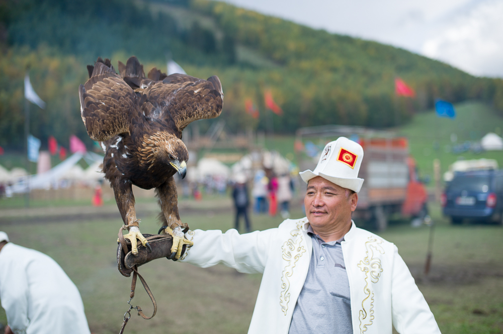
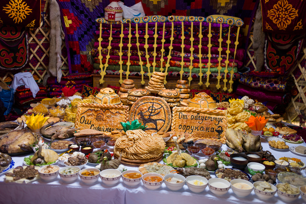
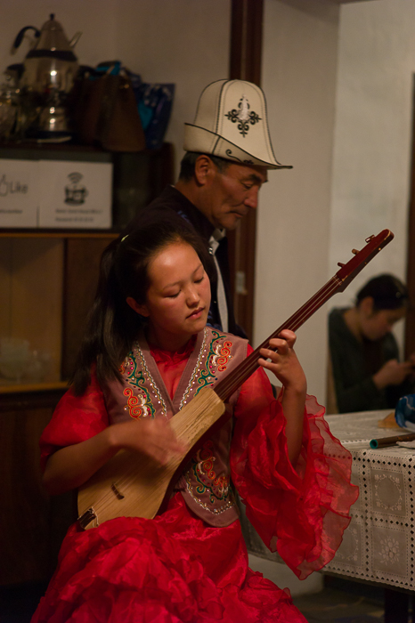
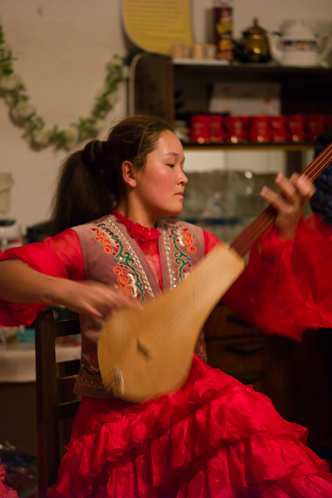
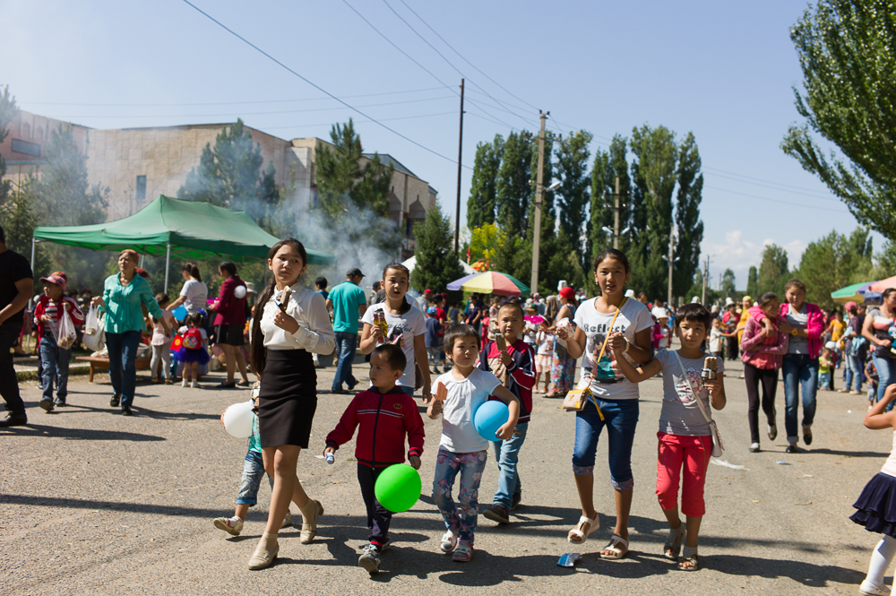
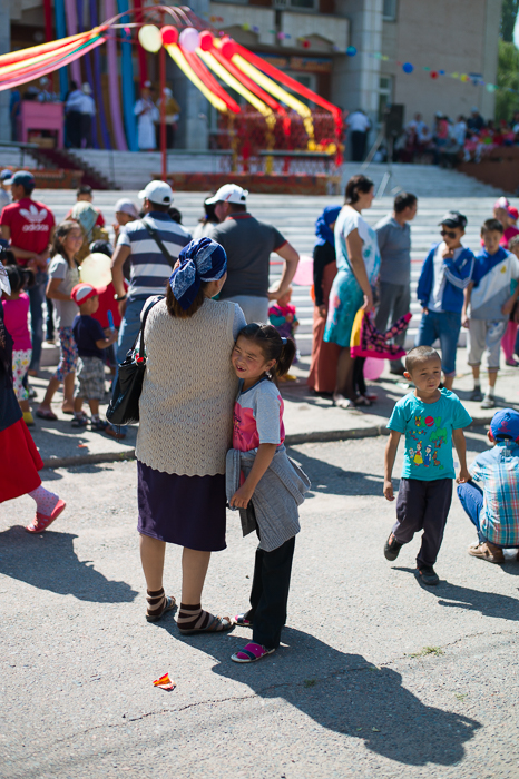
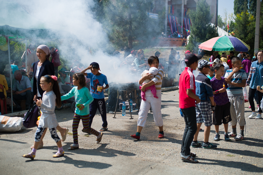
For two days I visited the World Nomad Games 2016. They were held for the second time and are a kind of Olympic Games for Nomad type of sports such as various types of Horse Racing, Wrestling and Archery. 52 Nations were participating including teams from Germany, Netherland, Poland, Iran, China, Tajikistan, Brasil, USA, Mongolia and Russia.
The Games were held in Choplon Ata, Kyrgistan, north side of the lake Issyk Kul. However, the games are not all about sport but also about nomad culture, heritage and lifestyle. The next will be held in 2018.
Further, they staged a 2-3 hour opening ceremony, which was rather spectacular, musically and very visual due to the 3d animations.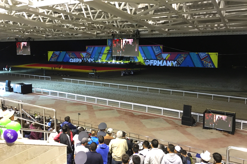
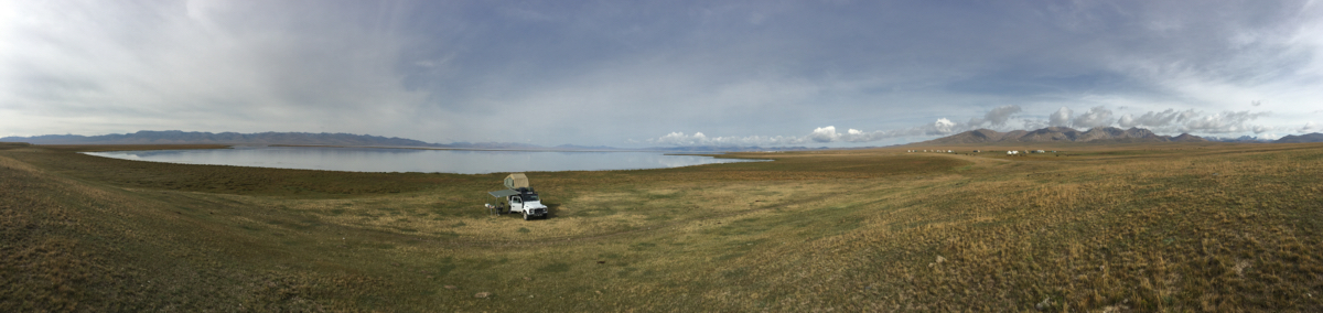
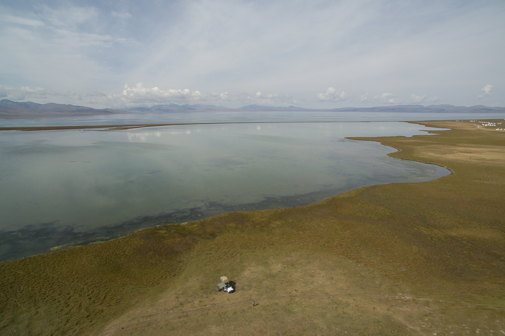
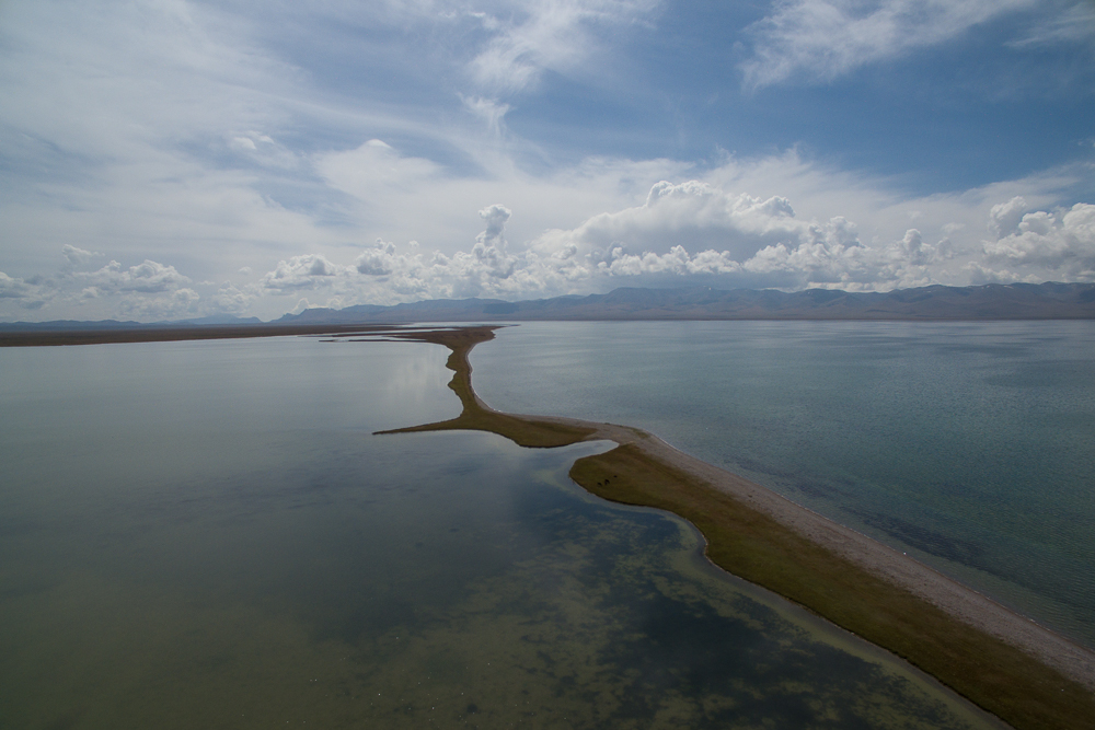
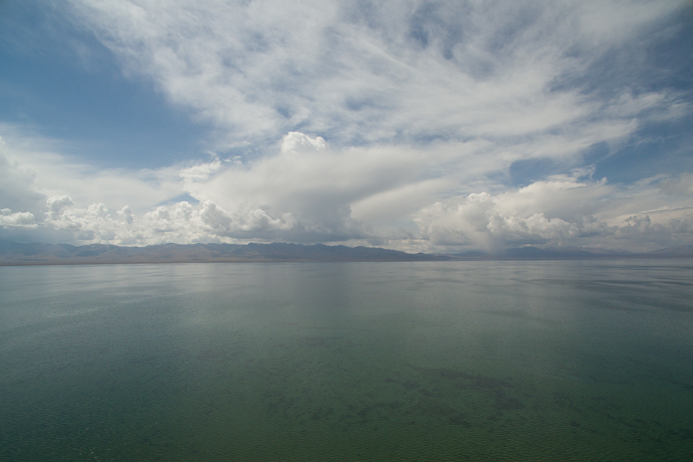
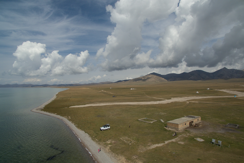
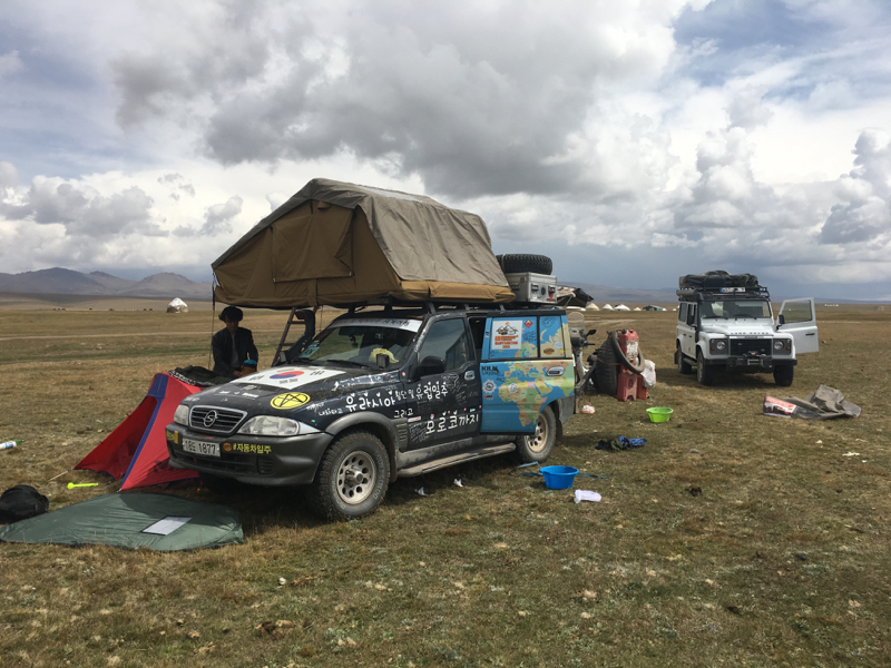
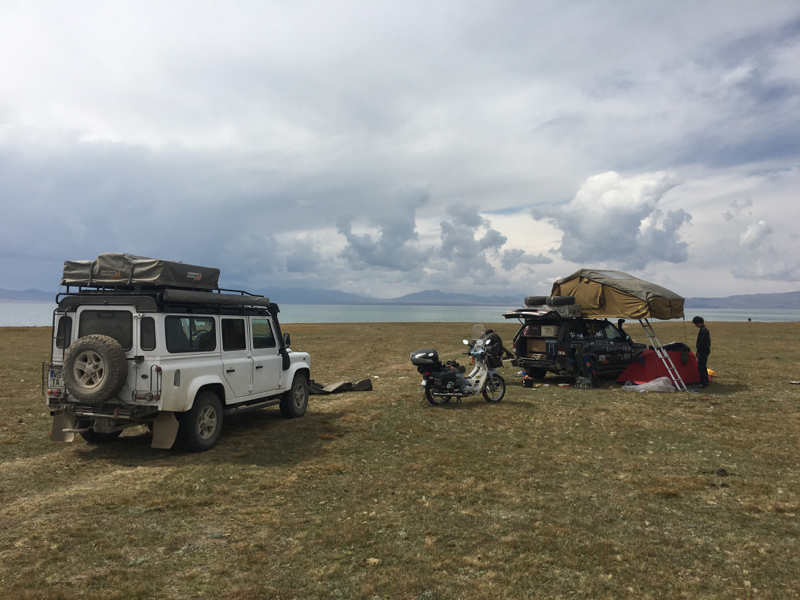
Song-Kul
02/09/16 15:43 Filed in: Kirgisistan
Stayed at the next large Lake - Song-Kul. This is an Alpine lake and at about 3000m altitude. The track up is easy to drive. However, nowadays this one also is now very touristy especial at the beginning with the good view. And at 3000m altitude ist can get frosty at nighty and the weather will change randomly. Meet some overlanders from South Korea on their way to Marokko, some Swiss-French backpackers, German Overlander and Israelis on cycles.....
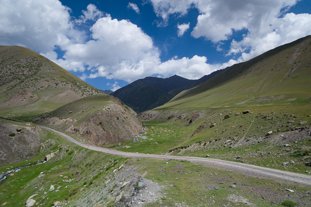
From Kuchkor to Suusamyr
02/09/16 15:42 Filed in: Kirgisistan
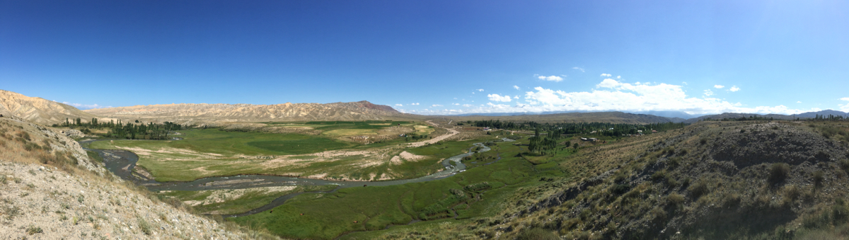
From Kuchkor to Suusamyr - a Backroad and just stunningly beautiful. Easy to drive and you will stoop at least a few times to enjoy the views!
Some from in-between
02/09/16 15:40 Filed in: Kirgisistan
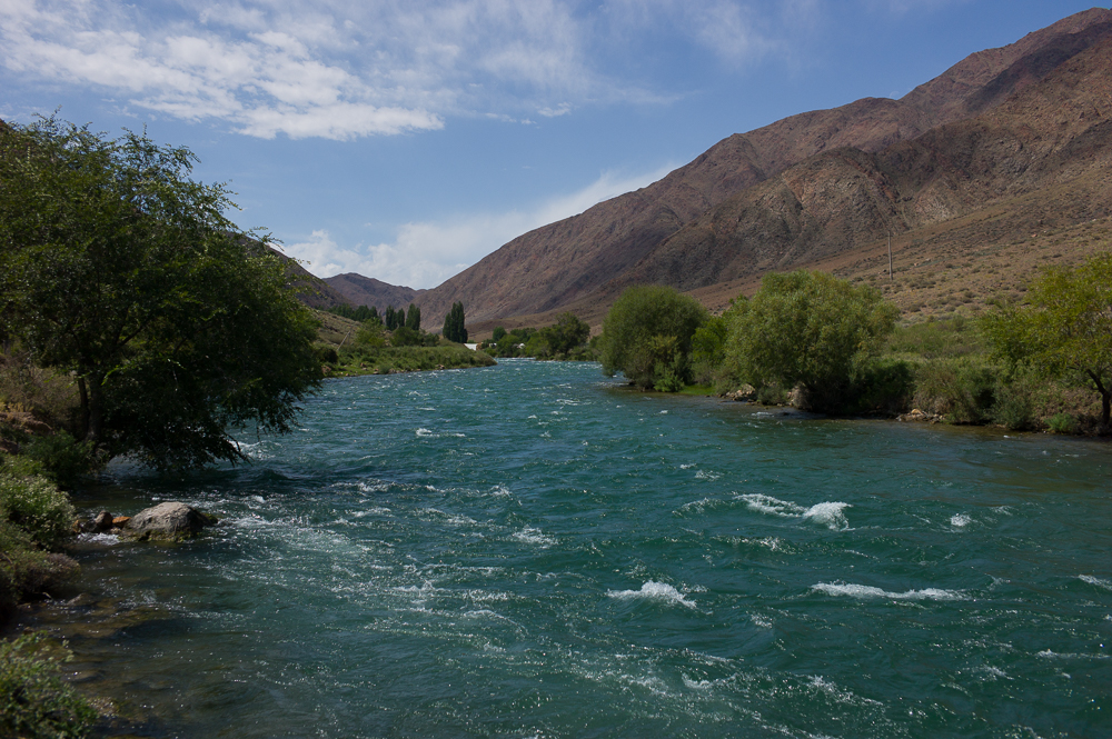
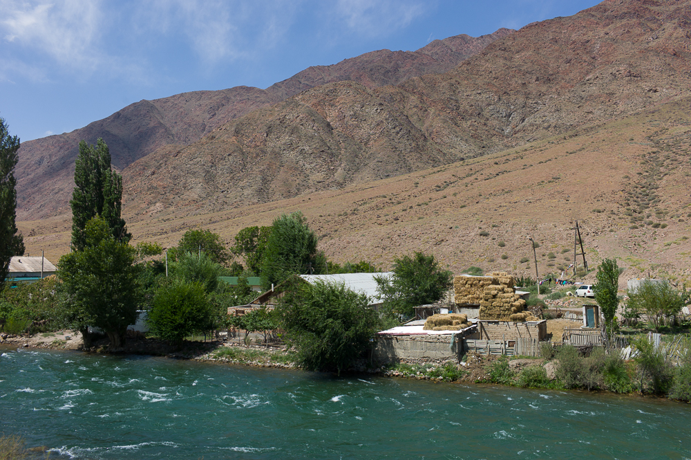
Some in between from the Issyk-Kul South-road, from the small village Kochkor and the Orto Tokoy Reservoir.
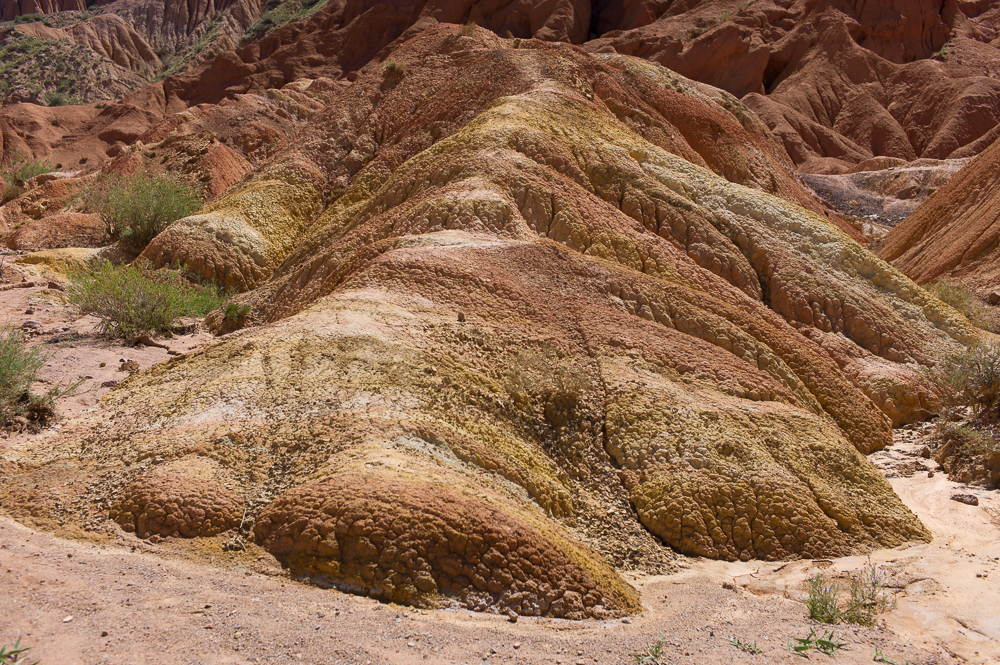
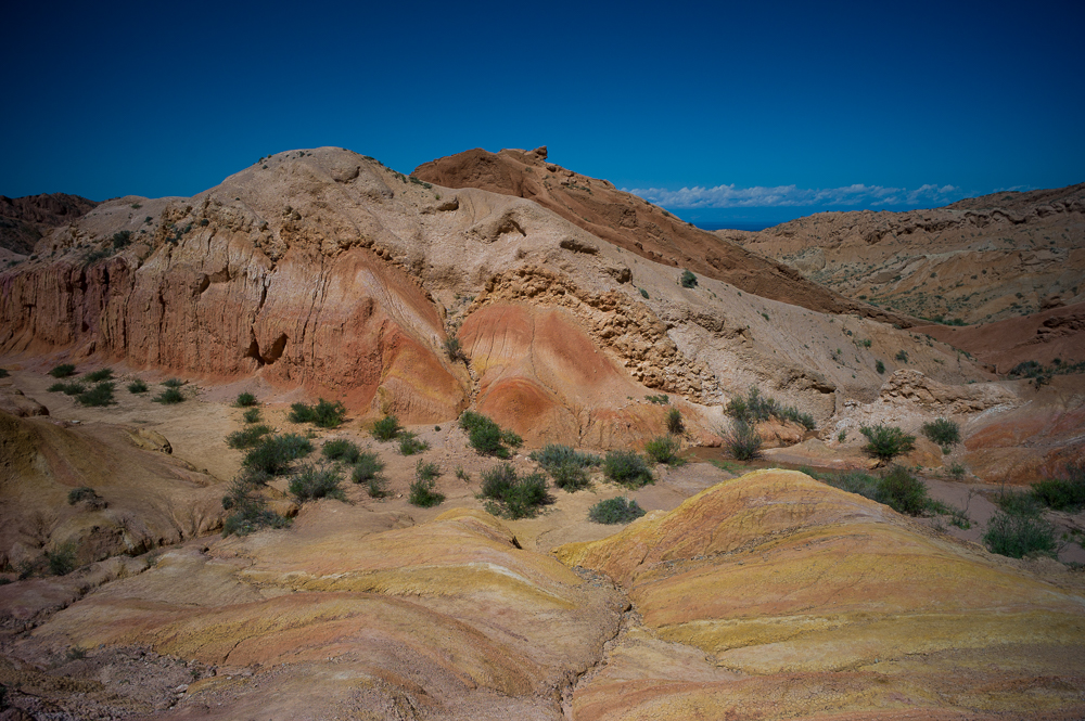
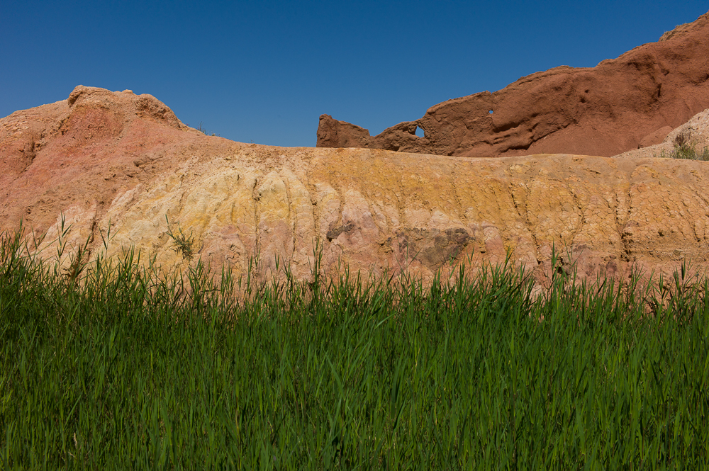
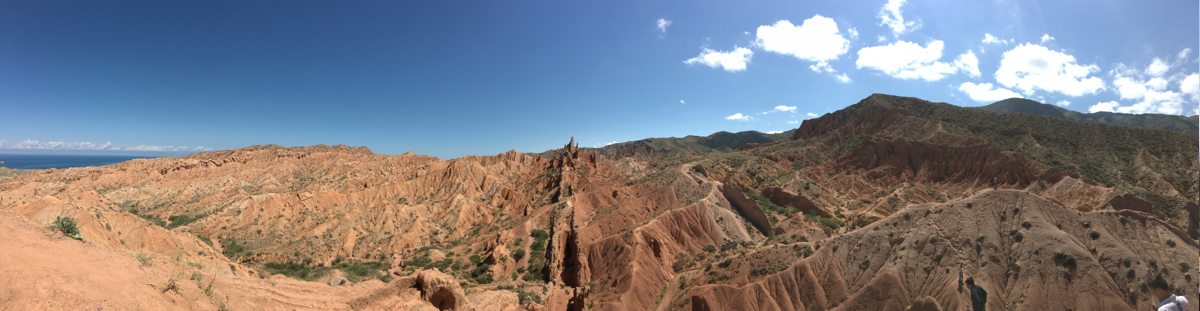
Fairytale Canyon.
02/09/16 15:40 Filed in: Kirgisistan
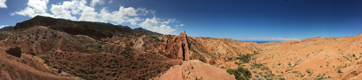
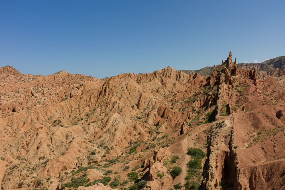
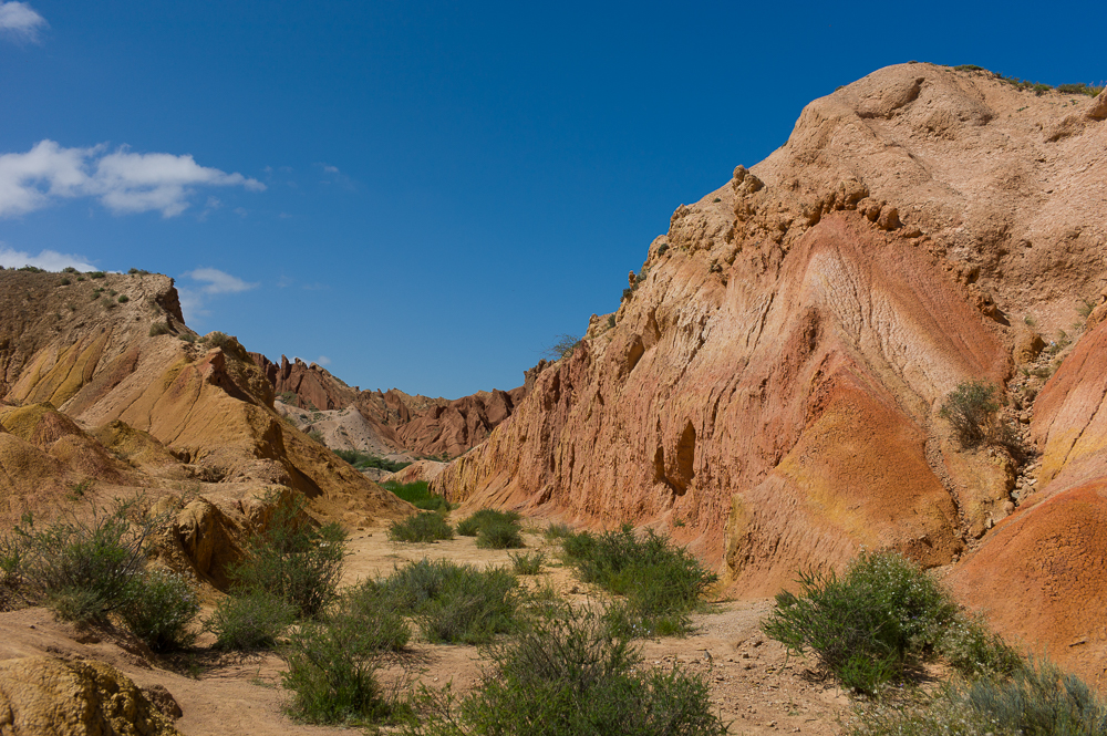
Fairytale Canyon. Close to Issyk Kul and the town Tosor is a canyon made of red sandstone and some other natural minerals in red, orange, yellow colors.
Very artistry!!!
Very artistry!!!
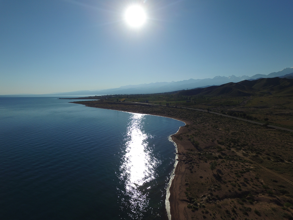
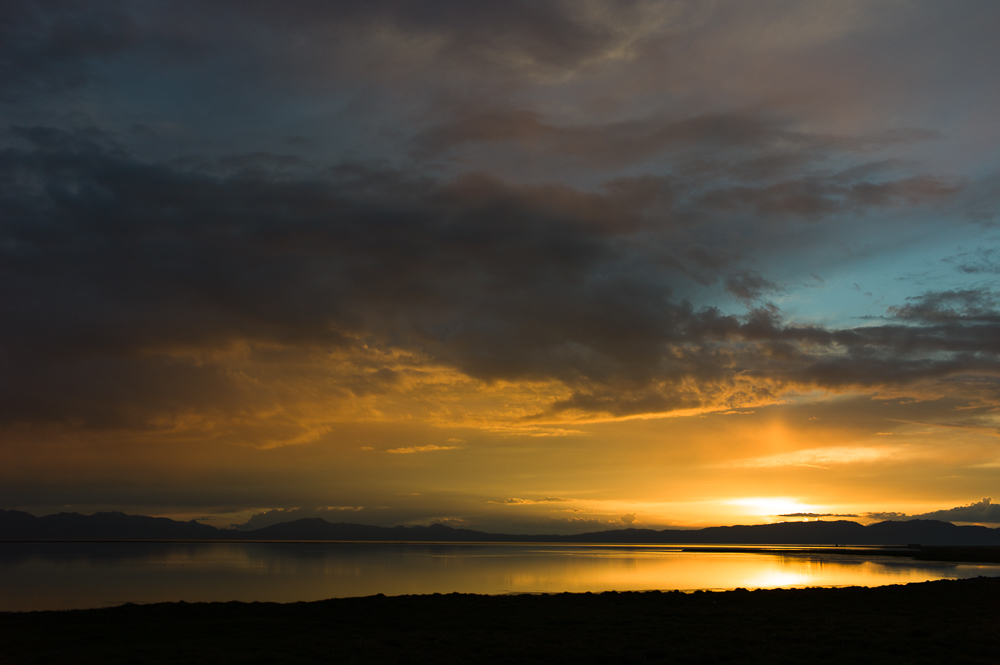
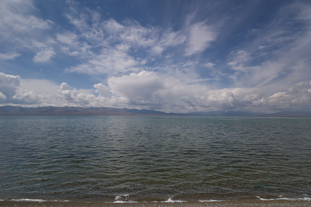
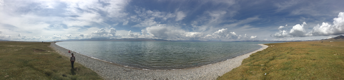
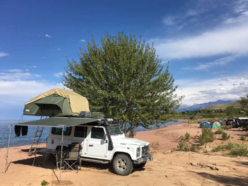
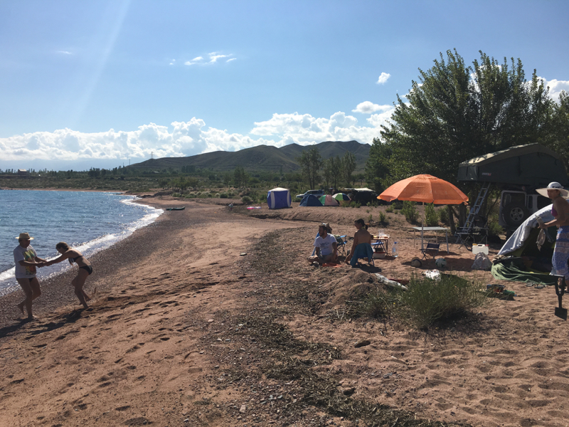
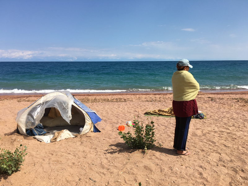
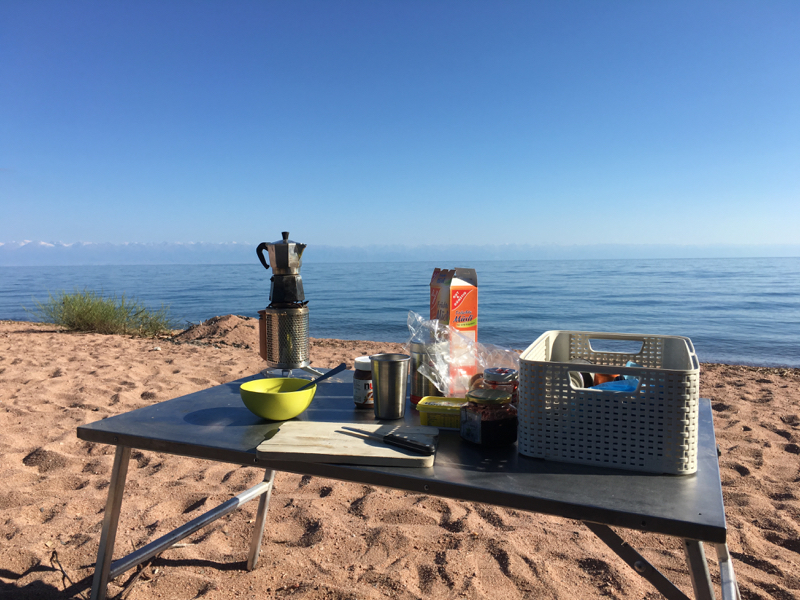
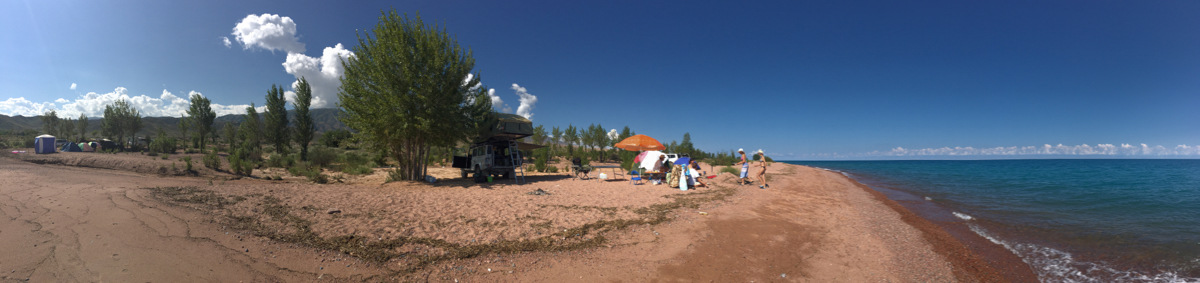
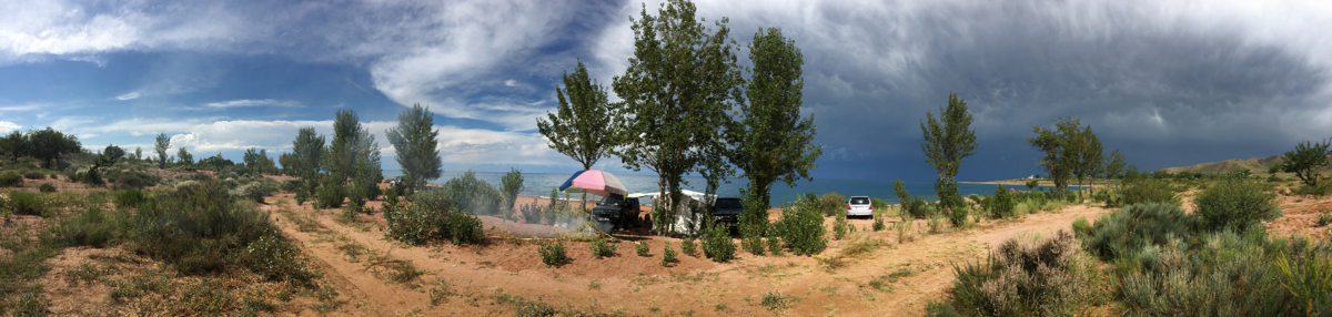
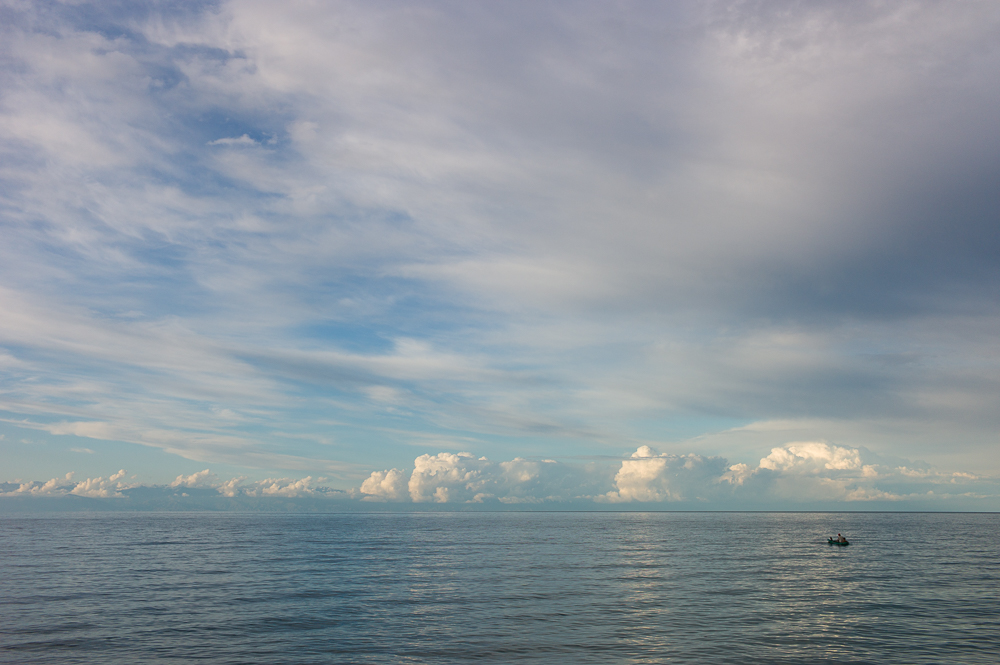
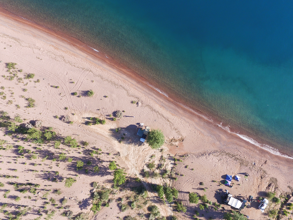
Issyk Kul campsite
02/09/16 15:38 Filed in: Kirgisistan
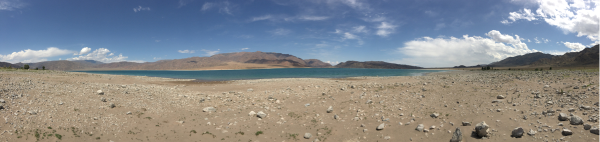
Issyk Kul campsite - Camped directly at the beautiful shoreline if the lake for a few nights. Not alone. Meet very lovely Russian families, some Brit’s and Locals.
Anyway. The water is crystal clear and warm. Gods for a few swims. And its a such a lovely lake to camp, factually the best on the whole journey.
Anyway. The water is crystal clear and warm. Gods for a few swims. And its a such a lovely lake to camp, factually the best on the whole journey.
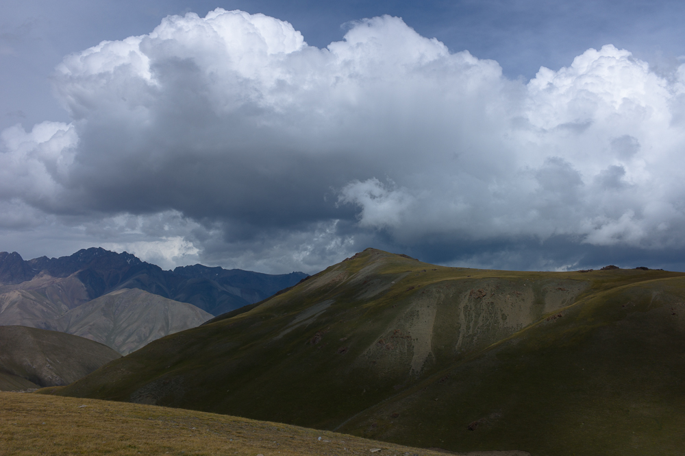
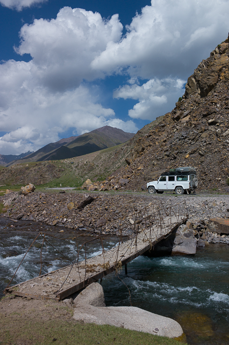
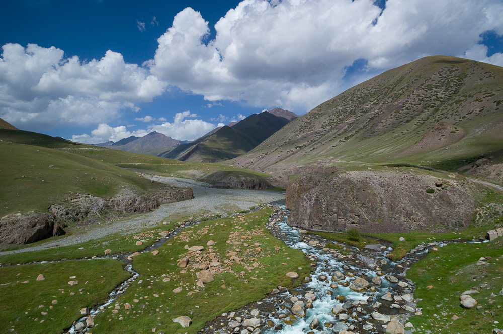
364 Goldmine road
02/09/16 15:36 Filed in: Kirgisistan
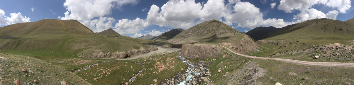
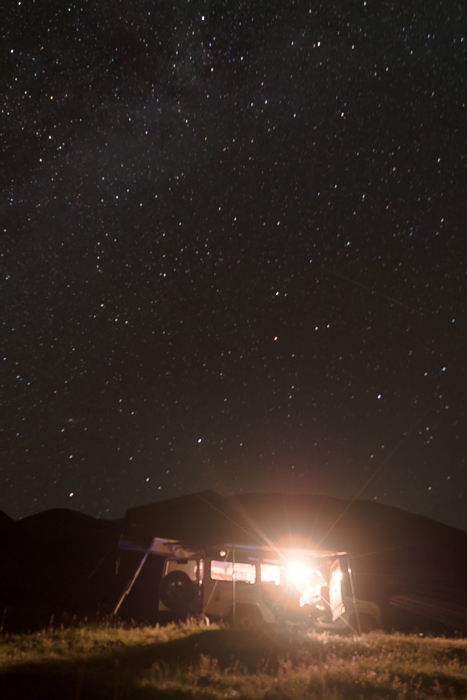
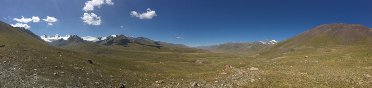
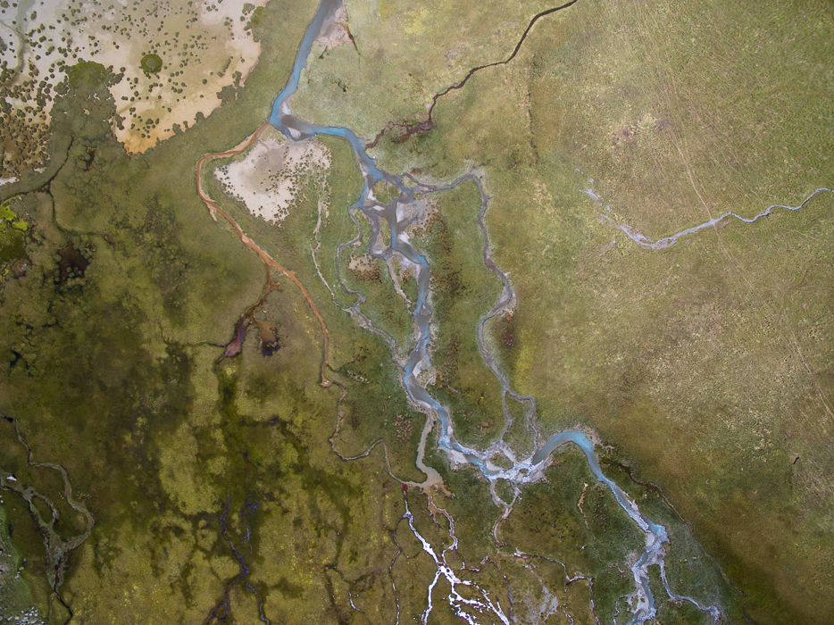
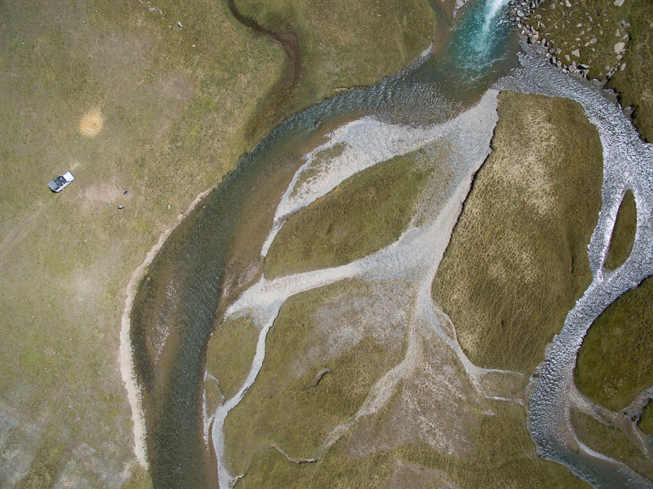
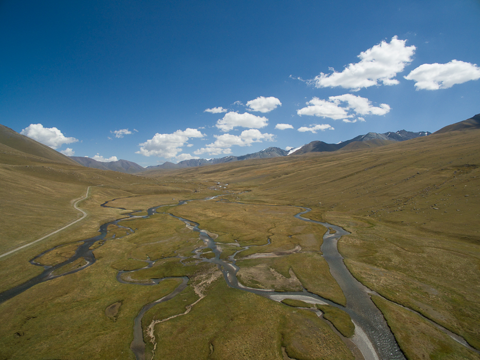
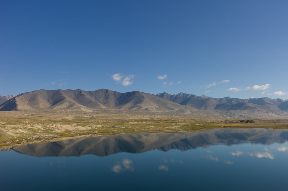
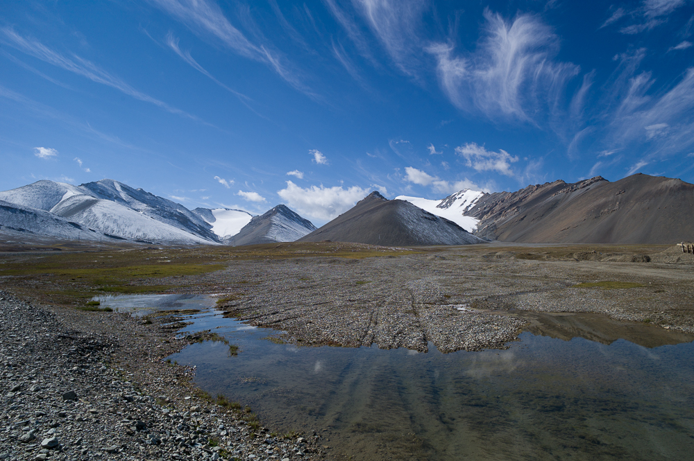
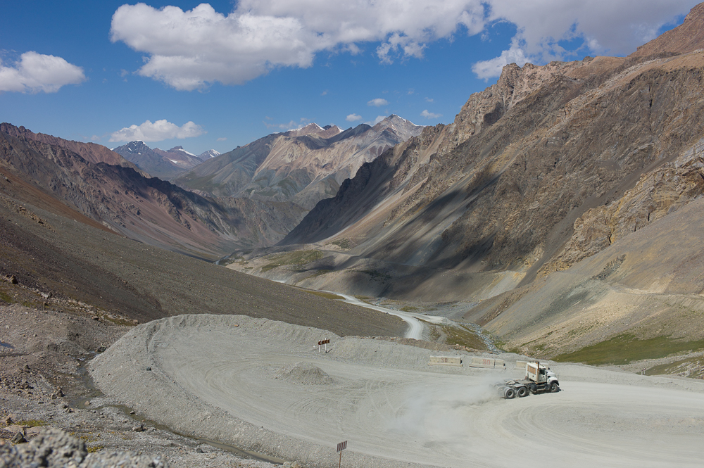
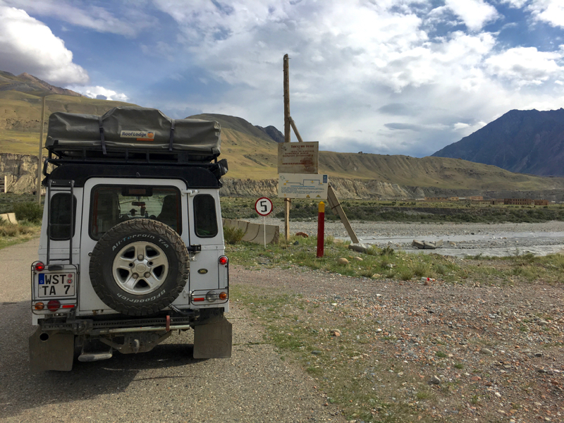
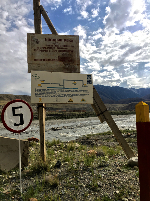
M364 Goldmine road. This is a road into the backlands of Issyk Kul and parts of the Tien Shan mountains. The Kumtor goldmine is the second highest goldmine and one of the largest. The gold is located in the permafrost layer below a large glacier and has environmental impacts.........
However the views around and alongside the road are breathtaking spectacular. And so far I've crossed the highest pass - 4028m
And I've stayed there not alone!!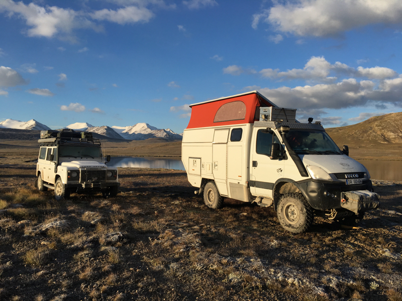
However the views around and alongside the road are breathtaking spectacular. And so far I've crossed the highest pass - 4028m
And I've stayed there not alone!!
M364 Road into Tien Shan Mountains
02/09/16 15:35 Filed in: Kirgisistan
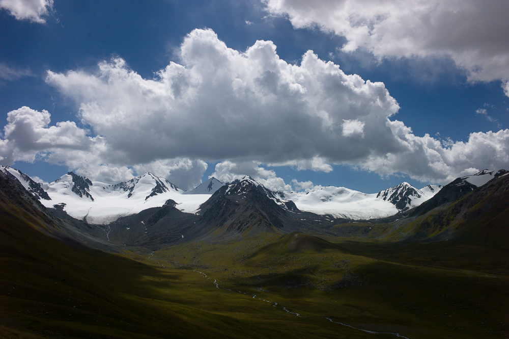
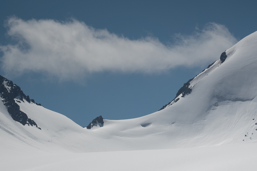
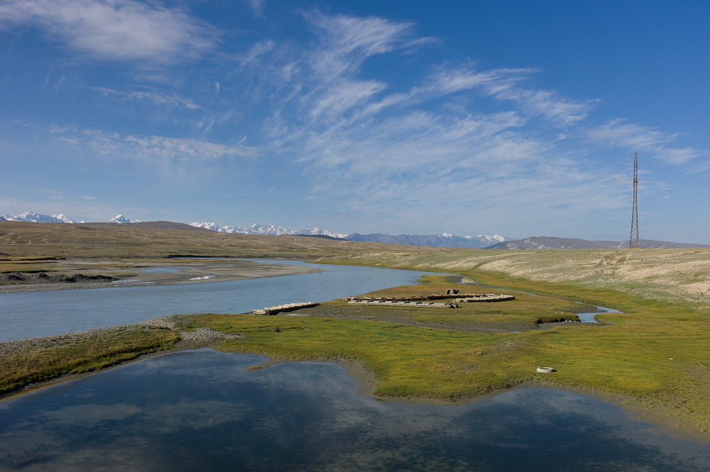
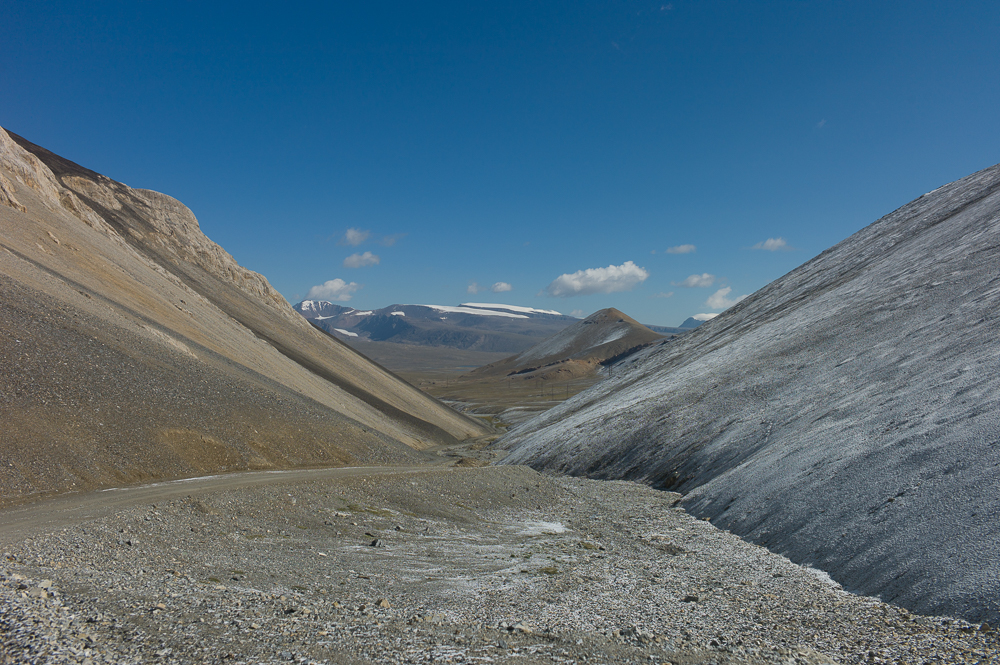
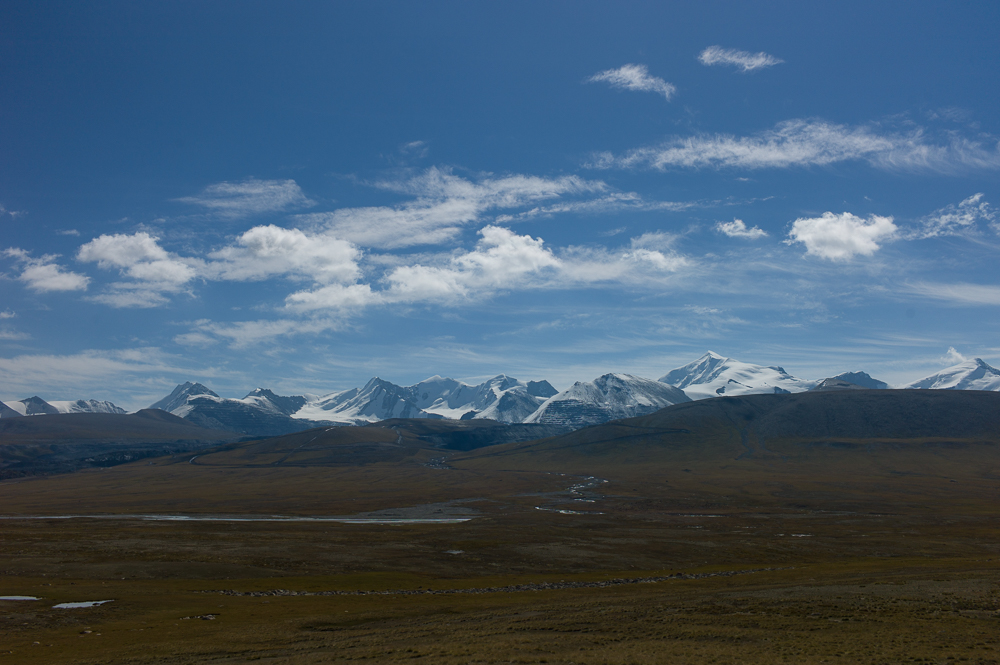
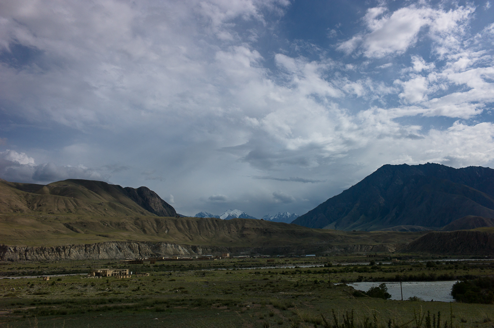
South east of Karakol, about 80km, is the M364 which takes you into the Tien Shan Mountains. The peaks are up to 7400m and it's the borderline between Kyrgiztan and China.
At the entrance of the road you have to register and close to Inylchek there is a military checkpoint. Beyond you need a permit which takes up to three weeks - didn't have one.
The road is following a canyon and sometimes you have a glimpse of the peaks but until the checkpoint no real panoramic views.
Well....
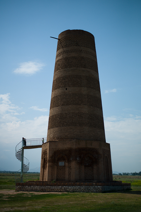
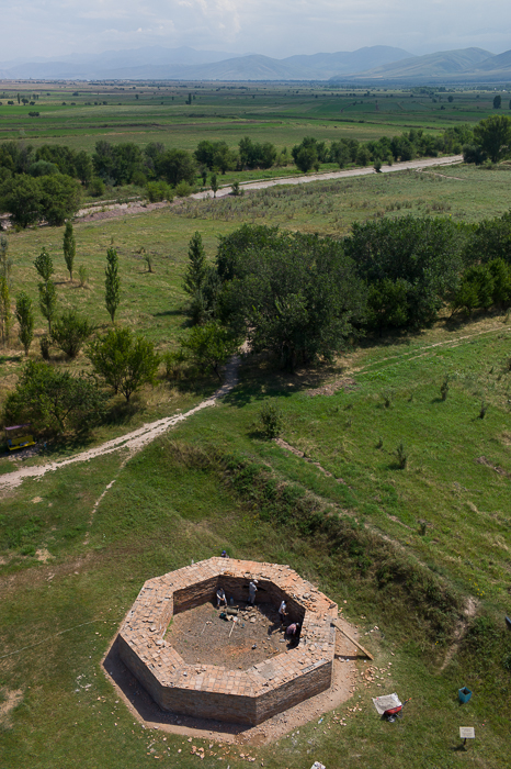
German Village Bergtal and Burana Tower
02/09/16 15:29 Filed in: Kirgisistan
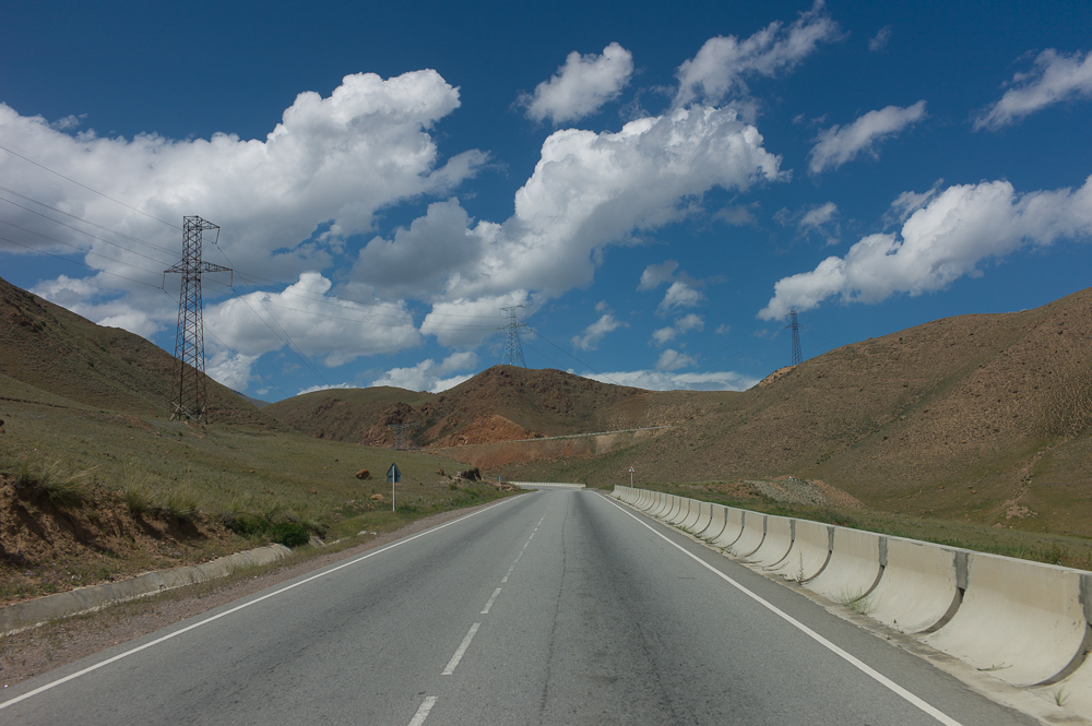
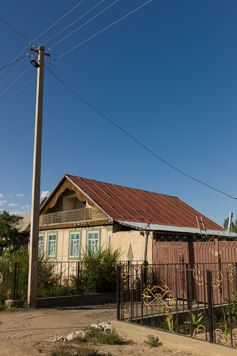
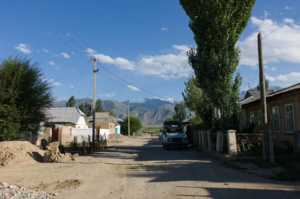
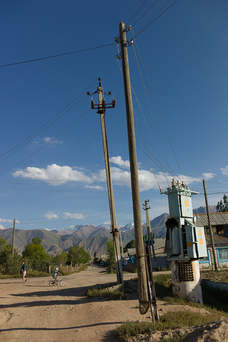
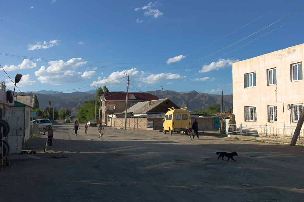
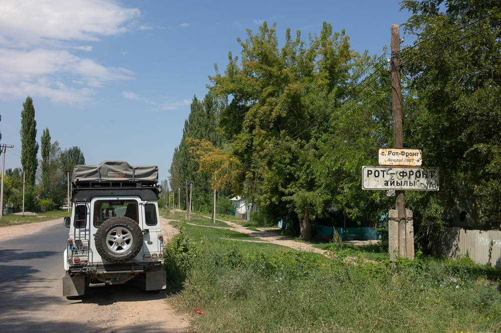
On my way to Issyk Kul I passed trough the German Village Bergtal and the Burana Tower.
The Village Bergtal was renamed to Rot-front in 1927 due to the Soviet Area - but its original name is till the name mostly used, especially in travel guide. At the end of the 19th century German-speaking settlers from the Russian Empire moved to Central Asia and the village of Bergtal was established.
The Burana Tower is a minaret and basically all that's left of the ancient town of Balasagun, which also was part of the ancient Silk road network.